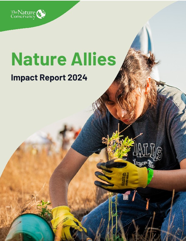
Volunteer
Help protect and restore nature near you, connect to our conservation work and build community.
Volunteer With UsBe a Nature Ally
Serving as Nature Allies, volunteers are helping to restore the earth with a shared vision to build healthy, more resilient and equitable lands, waters, and communities. Everyone has a role to play, join us and give back to nature.
Get Involved
Find Volunteer Opportunities Near You
Nature needs everyone! Find a volunteer position that suits your skills and interests, from planting trees and removing invasive species at a nature preserve to data collection to virtual volunteering using your professional skills.

Don’t see your state? Check out other opportunities!
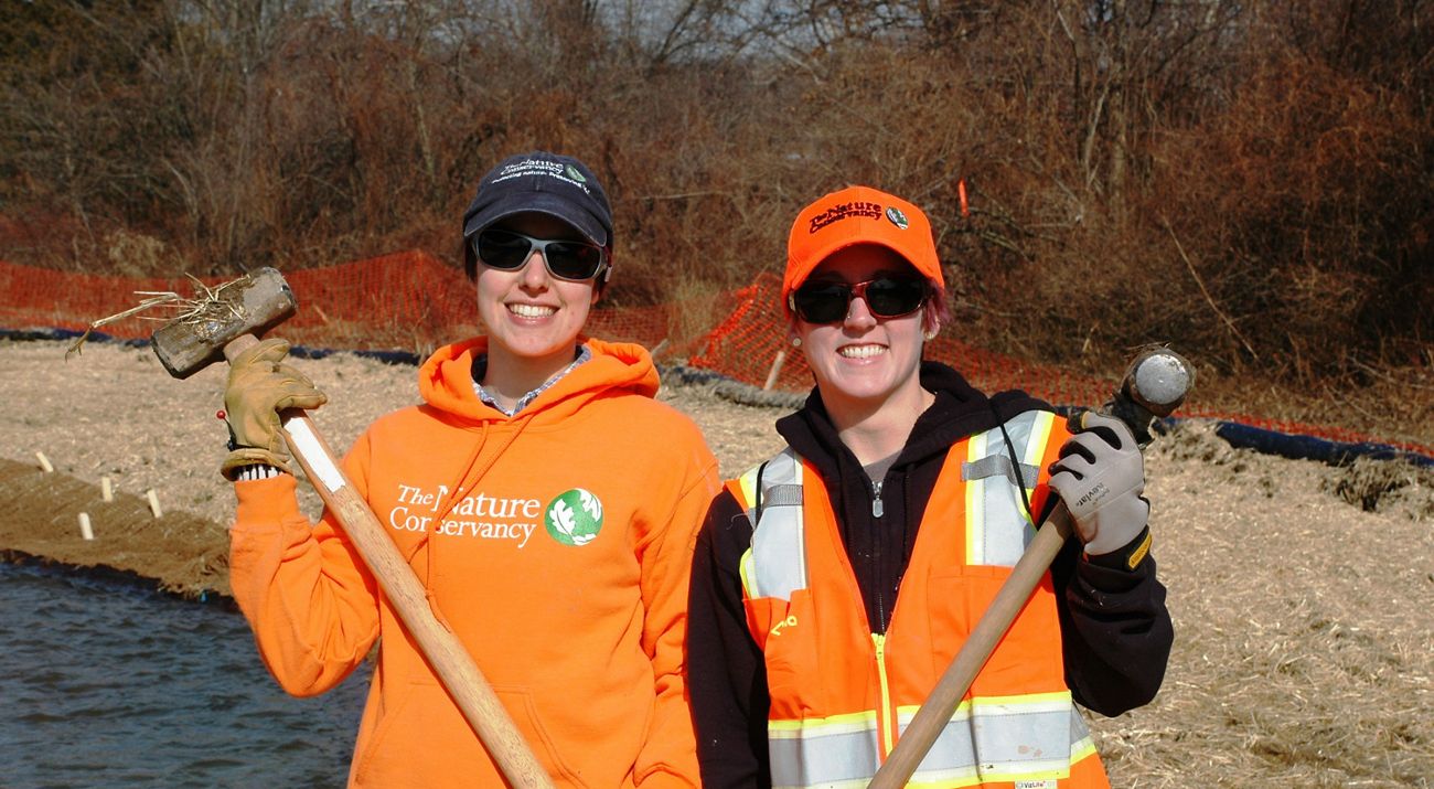
Volunteering at TNC
Curious about the kinds of volunteering opportunities we provide? These are just a few activities our volunteers support.
-
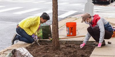
Urban Conservation
Plant and care for street trees in your city to provide habitat and improve air quality.
-

Community Science
Log plant data so climate scientists can compare with historical records.
-
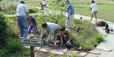
Restoration & Education
Control invasive species, care for native plants and monitor rare species in preserves.
-
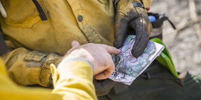
Skills-based
Analyze data to improve our use of prescribed fire.


Download
Stories from the Field


Volunteer Testimonial
Volunteering for Nature
Diversity, Equity and Inclusion
The Nature Conservancy values diversity—with regard to race, ethnicity, gender identity, sexual orientation and more—and encourages everyone to connect with nature. We have a zero-tolerance policy for discrimination.
Volunteer FAQ
-
Find a volunteer opportunity by visiting our Volunteer Opportunities page. Each individual volunteer opportunity lists information on how to get involved, including whether any preparation—such as signing forms or traveling to a specified location—is required. Volunteer opportunities are based on conservation needs and capacity. If the area in which you would like to volunteer is not listed, contact the TNC office directly to see what opportunities might be available. Volunteer opportunities may or may not be available with our projects in countries abroad; if you are interested in volunteering outside the United States, please contact our office in that region for more information. Additional questions? Contact Megan Whatton, Nature Allies Program Manager.
-
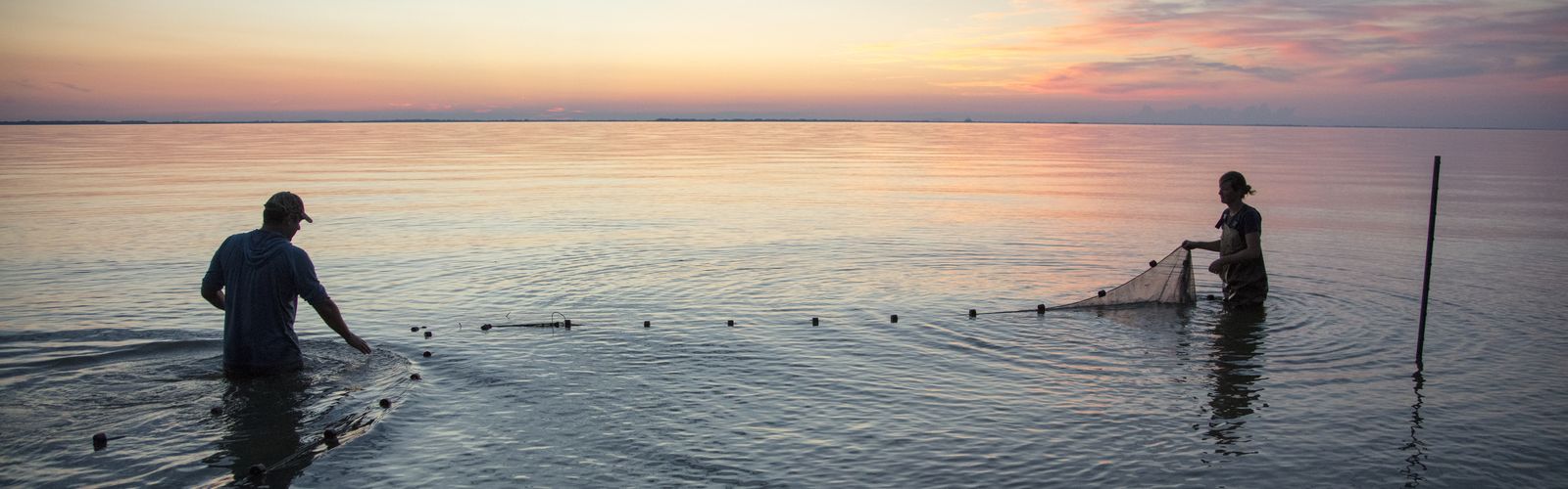
There are a wide range of volunteer opportunities available for individuals and groups in a variety of settings—both indoors and out. On TNC preserves and on our partner lands, volunteers play a key role in habitat restoration, species monitoring, leading tours, education and cultural programs, and more. In select cities, we work with multiple partners to support community action that comes in many forms such as planting trees, restoring green space and/or monitoring biodiversity, mitigating urban heat, or protecting water quality. Volunteers also provide support in our offices and lend their expertise on projects.
-
Most of our volunteer roles do not require prior experience. We value the many contributions beyond in-kind time volunteers provide, such as lived experiences, connections, community perspectives and passion. If training is required, it will be provided.
-
We are all part of this beautiful, living planet. Volunteering for nature is a way to give back in reciprocity and is an expression of gratitude to the natural world and all it provides for us. There are also many other benefits to volunteering for conservation:
- Spending time outside in nature can also help improve your mental and physical health.
- Volunteers learn about local nature and the conservation field, and they have the opportunity for personal growth while connecting with others in their community who want to make a difference.
- Volunteers can earn community service hours or bring friends and family to bond in nature over shared experiences.
- Some of our volunteer activities take place in areas not open to the general public, giving our valued volunteers access to otherwise closed preserves and natural areas.
- Volunteers provide critical skills and expertise on our projects that improve the whole community. For example, on preserves and partner natural areas, volunteers are restoring and maintaining diverse habitats, making them resilient in the face of climate change impacts—helping people, plants, animals and other organisms adapt to warmer temperatures and extreme weather.
-
We welcome volunteers of all ages and abilities. Most of our volunteer opportunities are family friendly, but it’s always good to check first. Please connect with your local TNC office to find out more about the specific volunteer activities near you.
-
This work requires many hands (and hearts) and we welcome civic groups, scout groups, faith groups, corporate groups and others to help restore, monitor and care for nature. For example, groups may remove invasive plants, collect and sow native seeds, plant trees and more. Contact your local TNC office about opportunities to organize a group volunteer or community engagement activity.
-
Giving back to nature is not only fun, but an excellent way to earn community service hours and an opportunity to learn more about the conservation field. Our local staff will work with you to document time spent volunteering as additional credits or community service.
-
The volunteer coordinator will let you know if you need to bring any special items with you for your event. If you are going to be spending time at a preserve or natural area, it’s always a good idea to protect yourself from the elements and bring anything you might need to help you get the most from your experience. Suggested items may include:
- Sunscreen and sunshields (like hats and long sleeves)
- Extra water and snacks
- Wet weather gear (such as boots and rain jackets)
- Insect repellant
- Sturdy shoes
- Binoculars and/or a camera
- Field guides, a compass or anything you’d bring while enjoying nature
Stay connected with us
Sign up here to receive monthly updates from The Nature Conservancy. Get a preview of a Nature News email.

Careers at TNC
For information about paid job opportunities with TNC, visit our Careers page.