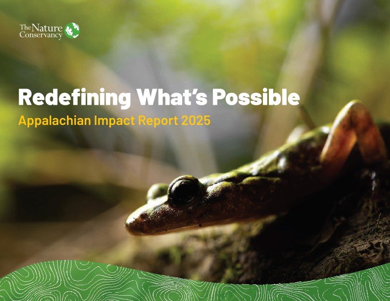
Appalachians
Hope in a changing climate

-
Follow


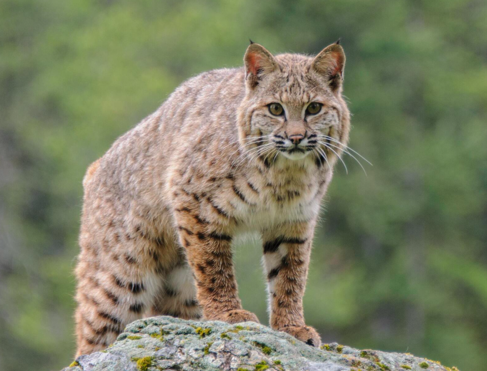
The Appalachians is one of the most climate-resilient, biologically diverse, and carbon-rich landscapes in the world. This ancient chain of forested mountains, valleys, wetlands, and rivers nurtures a rich variety of wildlife, cultures, and communities. With 198 million acres spanning the continent from Alabama to the Canadian Maritime Provinces, the Appalachians is a critical 2,000-mile pathway of climate resilient lands and waters that store nearly a quarter of the forest carbon in the contiguous United States.
It is one of our last and best hopes for thriving nature.
Download
See how your support is redefining what’s possible—connecting, protecting and restoring lands, rivers and forests across the Appalachians.
DownloadFeatures

Building Safer Roads in a Region on the Move
New approaches across the Appalachians aim to reduce wildlife crashes and rebuild the pathways nature needs.

Migration Marvels of the Appalachians
Each autumn and spring, the skies above the Appalachian Mountains come alive with movement. Explore some of the species you may encounter along this bustling wildlife corridor.

Habitat Connectivity and Wildlife in the Northeast
Habitat connectivity keeps wildlife healthy and drivers safe by linking natural areas with crossings for animals.
Our Strategies
Click the tiles for details on our top conservation strategies and some examples of our work across the Appalachians.
Connected Lands
Securing a continental-scale network of connected lands is critical to sustaining biodiversity into the future.
- We protect and connect vital stretches of intact native habitat to create pathways for species to move and adapt.
- The Resilient and Connected Appalachians (RCA) Grant Program supports partners, including land trusts, Tribal Nations, and municipalities to conserve lands and waters in priority locations.
- We support transportation agencies and local partners to improve connected habitat for wildlife at critical road crossings and prevent wildlife-vehicle collisions.
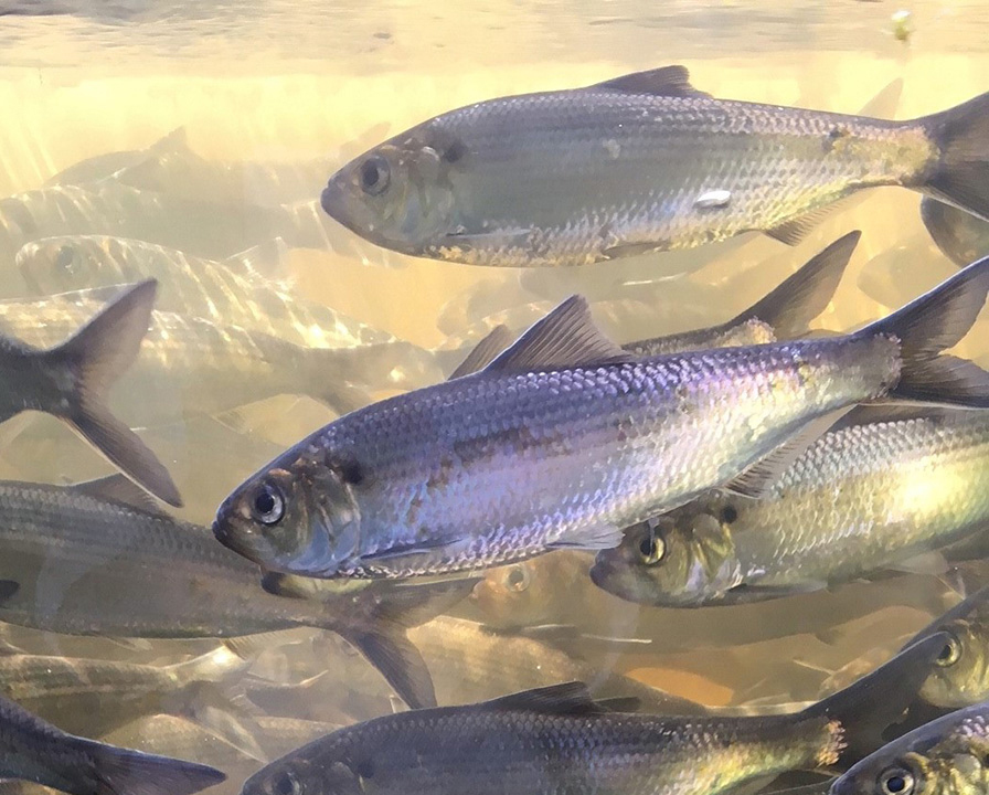
Reconnected Rivers
The Nature Conservancy, along with our partners, is working to safeguard the health of freshwater ecosystems in the Appalachians by reconnecting rivers, protecting and restoring floodplains, and addressing the impacts of aging infrastructure and flooding on human communities. By 2030, we aim to conserve:
- 22,000 miles of rivers
- 215,000 acres of lakes and wetlands
See how we are Reconnecting Appalachian Rivers.
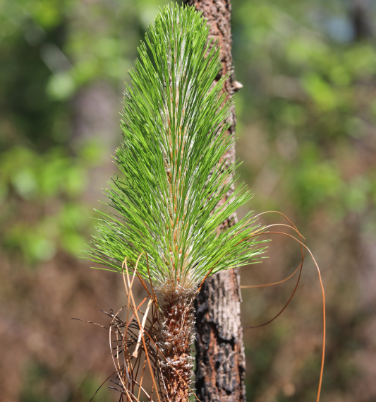
Resilient Forests
We improve the health and vitality of our forests by restoring and reforesting degraded lands, applying prescribed fire, and incentivizing sustainable, climate-adapted forest management.
- Together with local communities, we restore forests on once degraded land, including former mined lands, providing additional protection from flood, drought, and wildfire while ensuring native plants and wildlife can thrive.
- We’re building a sustainable workforce by investing in the next generation of fire practitioners and working with Indigenous communities to incorporate cultural burning practices.
- We partner with local, state, and federal agencies and support private landowners to improve the resiliency, health, and biodiversity of Appalachian forest lands, both public and private.
Where We Work
This color-coded graphic is a map of the eastern United States with the Appalachian landscape outlined in a maroon color. Also highlighted are resilient and connected lands in green, the Appalachian waterscape in blue, and urban areas in orange. The highlighted areas extend from northern Alabama in the south to the Maritime provinces of Canada in the north.

Appalachians By the Numbers
-

393,640
stream miles
-

198Mil
acres of land
-

$25Bil
annually in recreation and tourism economy
-

36Mil
people’s source of drinking water
-

9Bil
tons of forest carbon in the US stored in the region
-

64
high-priority migratory bird species
-

80K
occurrences of rare species
-

1.8Bil
tons of oxygen created
A Superhighway for Nature

This graphic is a map of the entire continental United States with a dark background. Over that background are color-coded lines, including yellow, blue, and pink, showing the directions in which mammals, birds and amphibians are moving in order to adapt to a changing climate. Circled in red is the Appalachian region, and within that circle is the convergence of many different lines of migration that create the effect of a superhighway of movement.
Between East Coast cities and the agricultural plains to the west, the Appalachian Mountains rise to form a natural superhighway for species to move. Whether seeking refuge from warming temperatures and extreme weather events, or migrating along an ancient flyway, the Appalachians can provide wildlife with a healthy and connected network of lands and waters—but only if we protect it.
Our Past Impact Reports
More Appalachians Stories


Videos About the Appalachians


Explore More

The Nature Conservancy awards over $1.2 million to projects in northern Appalachian states through new grant program
Land conservation projects across seven states will protect over 10,000 acres.

TNC to Receive $200 Million from EPA’s Climate Pollution Reduction Grant Program, Part of Historic $421 Million Multi-State Coalition Grant
TNC Chapters in Maryland, North Carolina, South Carolina and Virginia to Scale Up Forest, Peatland and Wetland Restoration Work Toward Carbon Reduction Efforts

The Nature Conservancy and Partners Receive More Than $450,000 from NFWF’s Cumberland Plateau-Southern Appalachians Stewardship Fund
The Nature Conservancy and partners are expanding oak‑pine forest restoration across priority Appalachian landscapes with support from NFWF’s Cumberland Plateau–Southern Appalachians Stewardship Fund.