Media Contacts
-
Fran Perchick
The Nature Conservancy
Phone: 561-328-9221 x205
Email: fran.perchick@tnc.org
TNC announces the launch of the new Southeast Marine Mapping Tool, a digital tool that allows decision makers to draw from the best available regional data when making ocean planning decisions. Developed by scientists at TNC with funding from the Southeast Coastal Oceans Observing Regional Association (SECOORA), this tool informs siting of conservation and ocean use activities while acting as a repository of data for the U.S. southeast Atlantic region.
The number and breadth of ocean uses is increasing. This mapping tool, initially designed to aid state and local agencies as they make decisions about wind energy projects, can also guide sustainable ocean activities and development, such as conservation efforts or siting of artificial reefs, the installation of undersea electrical transmission cables, or dredging sand to nourish beaches.
The data will also benefit TNC’s Ocean and Coasts Network, a program spanning nine states across the southeastern U.S. and Gulf of Mexico to address ecosystem-wide challenges with a cohesive and united approach.
Quote: Mary Conley
Offshore wind energy is a key piece of climate mitigation, and we must manage offshore wind placement in a way that minimizes the negative impacts on the ocean and its marine and wildlife habitats.
“This project combines two of TNC’s core goals: climate mitigation and ocean conservation,” says Mary Conley, director of TNC’s Ocean and Coasts Network. “Offshore wind energy is a key piece of climate mitigation, and we must manage offshore wind placement in a way that minimizes the negative impacts on the ocean and its marine and wildlife habitats. The Southeast Marine Mapping Tool provides greater access to crucial data needed for thoughtful decision making.”
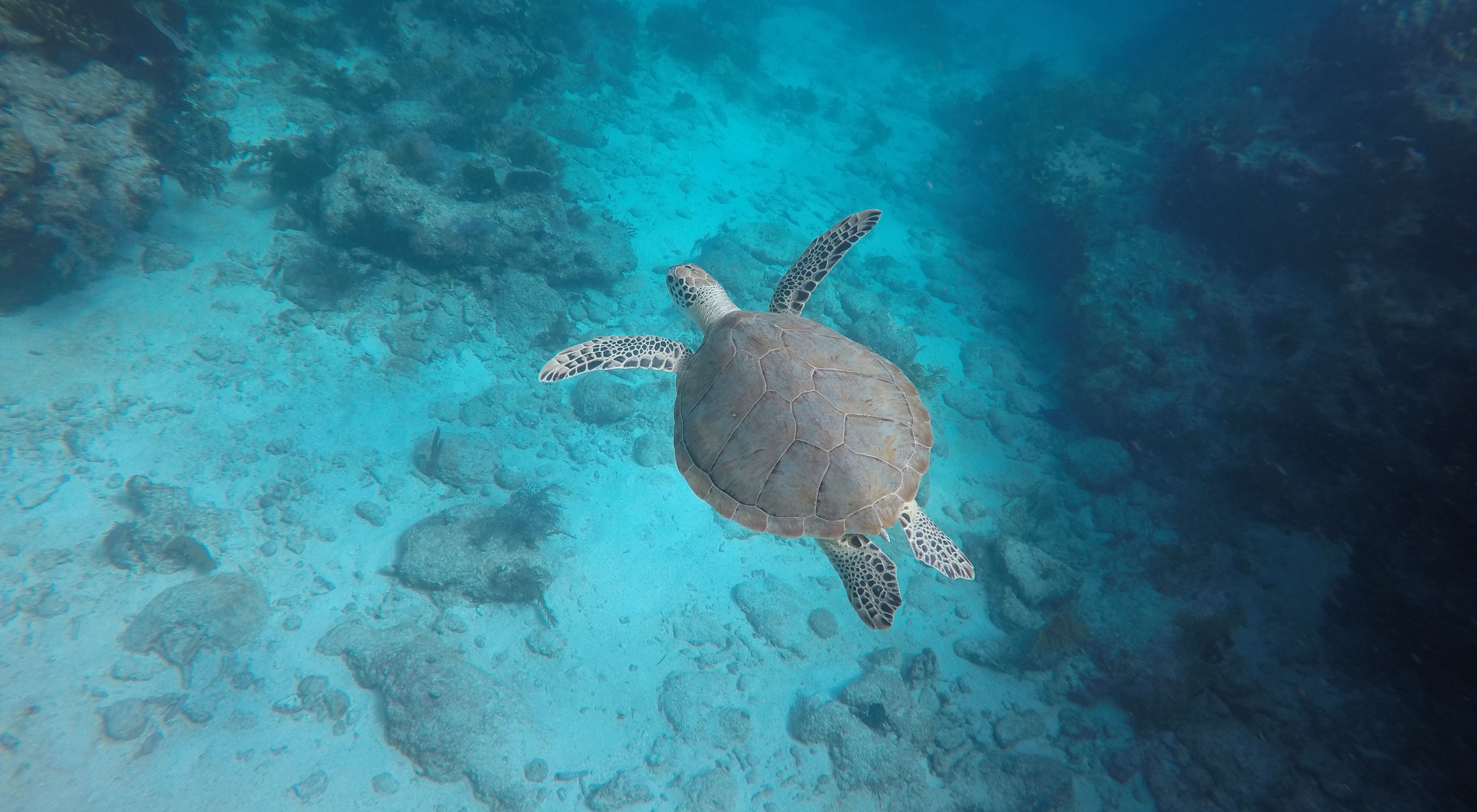
To create it, TNC scientists drew on data provided by partners, including the National Oceanic and Atmospheric Administration, South Atlantic Fishery Management Council, and Duke University. On the digital platform, drawing a box on the map pulls up a trove of information critical for marine management and project planning, including average temperature and depth, currents, water column characteristics and seafloor substrate. It describes allowed uses and restrictions for a given location, as well as trends in shipping traffic. The tool also includes data on species that live or migrate through the area, including marine mammals, fish and migratory birds. The data also details ecologically important wildlife and habitats, including endangered species and coral reefs with high biodiversity.

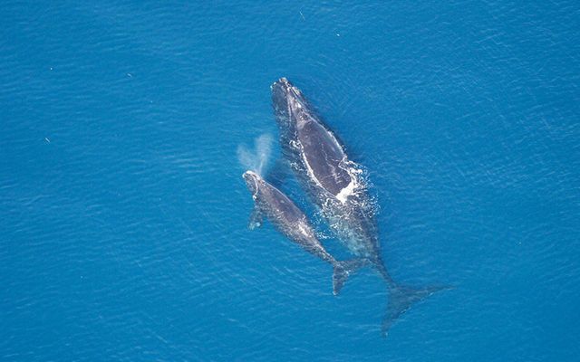
In 2021, the Biden Administration announced a national goal of installing 30 gigawatts of offshore wind capacity by 2030—about 2,500 new turbines. Siting those turbines appropriately requires necessary data on ocean conditions and wildlife habitat. For example, the coastal waters off Florida and Georgia are the only known calving grounds for the North Atlantic right whale, one of the most endangered whales in the world. Those same waters offer promising sites for locating new wind energy projects.
TNC scientists launched a similar mapping tool for the North Atlantic region in 2021, extending from coastal Maine to North Carolina. This tool stretches from North Carolina south to Florida, and scientists hope to expand its coverage into the Gulf of Mexico.
The Nature Conservancy is a global conservation organization dedicated to conserving the lands and waters on which all life depends. Guided by science, we create innovative, on-the-ground solutions to our world’s toughest challenges so that nature and people can thrive together. We are tackling climate change, conserving lands, waters and oceans at an unprecedented scale, providing food and water sustainably and helping make cities more sustainable. The Nature Conservancy is working to make a lasting difference around the world in 81 countries and territories (40 by direct conservation impact and 41 through partners) through a collaborative approach that engages local communities, governments, the private sector, and other partners. To learn more, visit nature.org or follow @nature_press on X.
