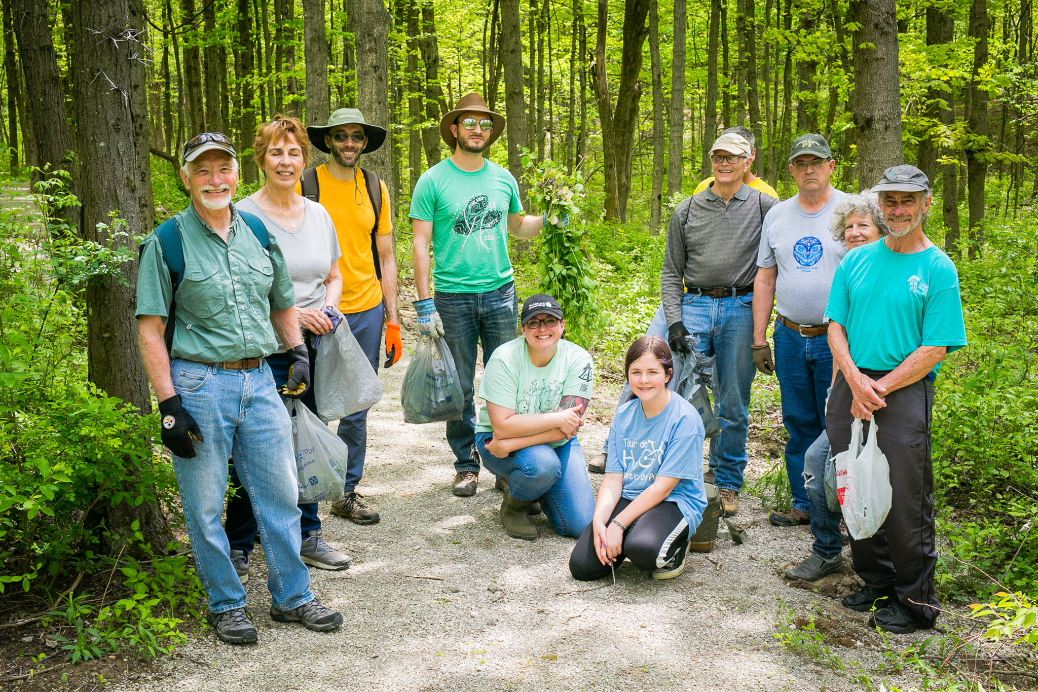
The Edge is a wonderful place to hike, bird watch, fish, kayak, canoe, take photos and enjoy the sights and sounds of nature. In addition, hunting is permitted on a very select portion of the Edge of Appalachia Preserve at certain times of the year. Permission to hunt is granted by Nature Conservancy staff to a limited number of applicants on a first-come, first-served basis. The permit application process for Edge of Appalachia will open in summer. For more information about hunting, including links to permit applications (once open), please visit our Ohio Hunting page.
Trails
The Edge of Appalachia Preserve (“The Edge”) is comprised of a number of distinct areas that were historically separate preserves. Over time, as the preserve has grown in size, these areas are now part of the larger Edge of Appalachia preserve. Today, many of the Edge’s trailheads are located at these historic preserve locations.
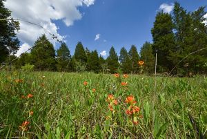
E. Lucy Braun Lynx Prairie Preserve Trail: This is the very first preserve protected by The Nature Conservancy (TNC) in Ohio and one of the earliest TNC preserves in the U.S. Protection of this site was inspired by the work conducted here by the renowned botanist E. Lucy Braun. Enjoy a mix of forest and rare dry limestone prairie, along with impressive displays of prairie wildflowers in late spring and summer.
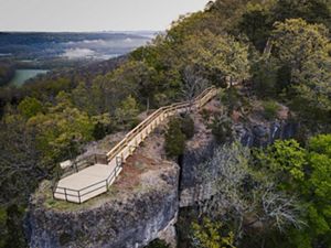
Christian and Emma Goetz Buzzardroost Rock Preserve Trail: This trail first follows along the top of a deep stream valley, then travels through forest and prairie. Visitors will follow along a high wooded ridgetop before finishing at an overlook atop Buzzardroost rock. The overlook was constructed to protect the rare dry limestone prairie that grows on the rock and to provide a sweeping view of the Ohio Brush Creek valley.
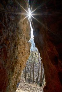
The Charles A. Eulett Wilderness Preserve Trail: Escape into the woods for some peace and quiet on this lightly used trail. The trail path guides visitors down into deep woods, past stands of rare Northern white cedar and by impressive cliffs and boulders of Peebles dolomite.
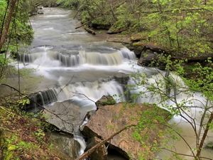
John and Marion Becker Cedar Falls Preserve Helen C. Black Trail: This trail traverses the length of Cedar Run gorge, terminating at an overlook of Cedar Falls. Hikers will see lush stands of wildflowers in the spring and large blocks of bedrock in the boulder field. Near the overlook, the trail travels through a rare older growth stand of northern white cedar trees. The falls are at their most impressive in the spring, winter and after heavy summer rainfall.
Joan Jones Portman Trail: This trail provides an excellent introduction to the many varied habitats at the Edge of Appalachia preserve. Hikers will see dry limestone prairie, deciduous forest, dolomite cliffs and a small creek before the trail terminates at a promontory rock with a view of the surrounding hillsides. The trail is coincident for ¾ of a mile with a section of the North Country National Scenic Trail/Buckeye Trail, which continues on for another 15 miles within the preserve.
North Country National Scenic Trail/Buckeye Trail (NCNST/BT): 16 miles of this national and state trail travel through the preserve. Stretching for 4,800 miles from Vermont to North Dakota, the NCNST is the longest national scenic trail in the nation. At 1,444 miles, the BT is the longest trail in Ohio. Within the preserve, the two trails follow the same trail bed as they traverse steep hillsides and deep hollows that are heavily forested with rich deciduous forest. Primarily designed for backpackers, the trail can also be used by day hikers via four different trailheads. The trail features TNC’s only Ohio campsite, which is only accessible on foot and available by permit only. For more information contact The Nature Conservancy at 937-544-2880 or ohio@tnc.org.
Please check individual trail pages as activities and visitation rules are different for each trail.
Please note: Most trails do not have any restroom facilities. There is a restroom at the Dr. George Rieveschl, Jr. Creek's Bend Overlook near the Joan Jones Portman Trail, as well as at the Buzzardroost Rock trailhead.
Community and Activities
The Nature Conservancy and the Edge of Appalachia Preserve System are part of an active community of local businesses and organizations working to promote the exciting destinations and things to do in Adams County. Spend the day on the trails but make sure to explore the rest of what Adams County has to offer at the Adams County Travel & Visitors Bureau. Follow backroads to find quilt barns, Amish baked goods, historic sites and much more. Here are a few other opportunities to enjoy the area.
The Nature Conservancy in partnership with many other organizations, as part of Leadership Adams, created a Hiker's Guide to Adams County, Ohio. The guide is a detailed brochure of nature trails, maps and interpretive information to make visiting Adams County easy and enjoyable. Download the map.
The Nature Conservancy and the Cincinnati Museum Center (CMC) are active partners in managing and protecting the Edge of Appalachia Preserve. The Eulett Center is a hub for that partnership. It sits tucked into a hillside overlooking the preserve and serves as staff offices, meeting space and research lab.


_2504x1565.jpg?crop=3%2C0%2C2497%2C1565&wid=1500&hei=940&scl=1.6648936170212767)