Partnering with an Unlikely Bedfellow—the Military—to Conserve Natural Resources
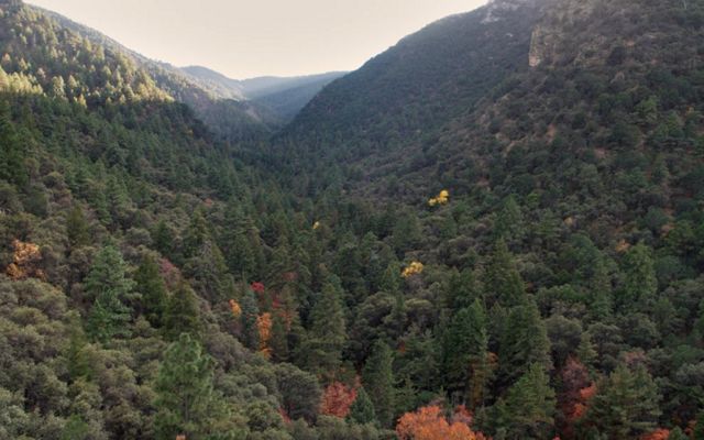
In Fort Huachuca, Ariz., aircrafts take off from the United States Armed Forces’ 81,723-acre testing and training area, then swoop over the surrounding Sonoran Desert. The quietness of the natural landscape is a benefit to the Army’s electromagnetic testing operations that take place there, given that the testing can be disrupted by ambient noise.
That is why several federal agencies and other entities are working together, via the Sentinel Landscapes Partnership, to help ensure that 2.2 million acres of this landscape are protected—and, therefore, quiet.
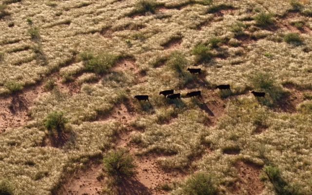
Fort Huachuca is the anchor military installation in a network of natural areas and working landscapes around military installations that have been designated by the partnership as "sentinel landscapes." They are places where federal and state agencies, nongovernmental organizations, landowners and land managers work together to advance sustainable land use practices.
A Shift Toward Comprehensive Stewardship
The Sentinel Landscape Partnership is an outgrowth of a Congressionally authorized program created in 2003—the Readiness and Environmental Protection Integration program. Through the program, the Department of Defense works with landowners and partners to protect working lands and natural areas that are near military installations or airspace. The projects may involve nature-based solutions that strengthen the resilience of military installations to extreme weather and other impacts of a changing climate. The program is successful but tends to result in an incomplete mosaic of protection, instead of the comprehensive landscape-level stewardship needed for these areas to thrive. TNC was a key partner in evaluating whether the program is effective in achieving its goals.
The U.S. Department of Agriculture, Department of Defense and Department of the Interior created the Sentinel Landscapes Partnership in 2013, with input from The Nature Conservancy and others. They did so because they knew that these natural areas and working landscapes could provide multiple benefits to advance the aims of many stakeholders but would need concerted cooperation and funding to continue doing so. Benefits include strengthened military readiness, conservation of natural resources, stronger agricultural and forestry economies, increased public access to outdoor recreation and increased resilience to the impacts of a changing climate.
There are 18 designated sentinel landscapes, covering a total of more than 50 million acres, in the continental U.S. and Hawaii. More are being planned. All contain at least one high-value military installation or range, as well as lands that are a high priority for the participating federal agencies. TNC is a partner in 15 of the sentinel landscapes. Other federal agencies, such as the Federal Emergency Management Agency and the National Oceanic and Atmospheric Agency, are seeking to become partners.
“The key to the success of the partnership is its collaborative stakeholder approach that delivers multiple co-benefits as a result of the land management and stewardship actions taken,” says Bob Barnes, a senior policy advisor for TNC and a retired Brigadier General, U.S. Army. He provided input to the Department of Defense on the creation of the partnership.
“Anyone who supports farmers, ranchers and foresters should support this partnership,” he says. “Anyone who’s a supporter of voluntary actions to preserve natural areas and habitat should support it. Anyone who’s a supporter of military readiness and the Department of Defense should support it.”
Learn more about REPI
See how creating additional financial incentives for landowners to participate in the Readiness and Environmental Protection Integration program will benefit both national defense and conservation.
Note: Prior to disseminating or providing any public use of the PwC slide deck, TNC must take care to ensure that any dissemination is done in a manner that is neither false nor misleading. TNC must quote material from deliverables verbatim. If TNC references or cites PwC's deliverables or analysis, TNC must make PwC's deliverables available in its entirety on TNC’s website or through another electronic medium.
Strategic Management Ensures Success
On a practical level, the success of the partnership is rooted in three core approaches.
-
Strategic coordination to achieve large objectives
The partnership assigns personnel to facilitate the development of strategic plans that enhance the conservation and resilience of each landscape. The plans are based on input from multiple stakeholders and ensure that land management yields multiple benefits to satisfy diverse priorities.
-
Prioritization of military readiness
The partnership prioritizes the critical readiness of the military units stationed at or using the installations and ranges within each designated landscape. The approach of bolstering national defense through advancing landscape-level resilience is key to the partnership’s widespread support.
-
Focus on developing plans at the local level
Multiple public and private sector entities with an interest in each landscape must work together to conserve working lands and natural areas. This bottom up approach ensures that action is tailored to each landscape’s needs and is undertaken by those who created its strategic plan.
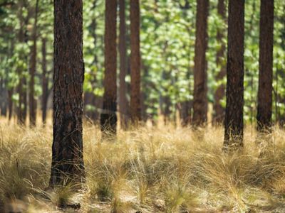
Sentinel Landscapes Partnership
Learn how this program is advancing sustainable land use practices around military ranges.
Learn MoreAlong with these management approaches, the success of the partnership also depends on local leadership by designated full-time and fully-funded coordinators in each landscape.
Conserving Our Most Vital Landscapes
TNC has worked with the U.S. military since the 1970s, as we recognize its influence as a natural land steward and its ability to advance land management priorities at scale. Other federal agencies, such as the Department of Agriculture and Department of Interior, also have a strong interest in using the nation’s natural and working lands wisely and can bring resources to bear in the process of managing them.
Together, we are advancing vital progress in conserving some of our nation’s most important—and strategic—natural and working landscapes through this partnership. Partnerships like this, in the U.S. and around the world, are essential to reaching TNC’s 2030 goals.
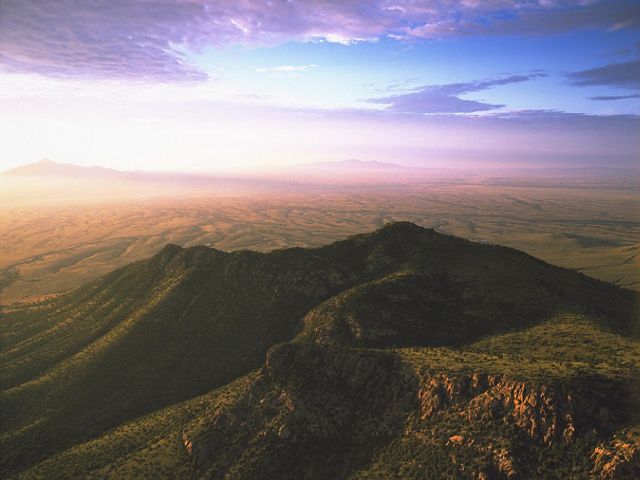
Fort Huachuca Sentinel Landscape Documentary
In 2015, a group of partners formed the Fort Huachuca Sentinel Landscape Partnership. Located in southeastern Arizona, the partnership's purpose is to build resilience through collaborative community-driven strategies that preserve and enhance key landscapes and habitats, support working lands including local farms, ranches and forests and protect the testing and training missions at Fort Huachuca. Watch the Fort Huachuca Sentinel Landscape documentary to learn more about this unique sentinel landscape.

