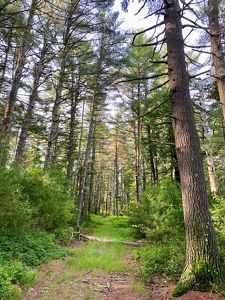
Note: This preserve's trails are unmarked, with many side paths. Areas may be seasonally wet or overgrown. We recommend using AllTrails or another trails app to avoid getting lost.
Please respect our neighbors' property. Some trails continue off the preserve and onto neighboring land without signage. The trail map provides a few landmarks to look for as you approach the preserve's boundaries.
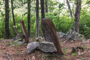
Harrington South/Fire Trail (2.2 miles round trip): Park on the wide, flat shoulder between the houses at 170 and 180 Henry Brown Road. Enter the preserve at a low spot in the stone wall near utility pole #22 and follow a short, rough path through a gap in the pines, heading toward the edge of a hayfield. Small fieldstones indicate a historic cemetery there.
Turn left, avoiding our neighbor's property, and walk toward the forest (approximately a tenth of a mile.) Turn right when you reach the eastern edge of the field and enter the forest at gap in a stone wall. Follow the old fire road into the woods, climbing gradually through the preserve and ending within sight of Hopkins Hill Road.
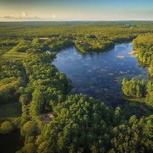
Return to your car by the same route, using the cemetery sign as a landmark for the parking area. Highlights include views of Pendock Brook and the Harrington family cabin.
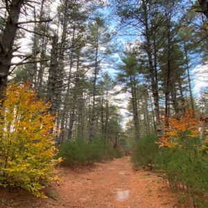
Harrington North via Big River Expresway (3.6 miles round trip): Start at the Big River Management Area parking lot on Hopkins Hill Road in West Greenwich. Cross the street and follow the mountain bike path into the forest, gradually walking downhill. After a half mile, cross the stream and turn right. Follow the stream for 250 feet and turn left, hiking back up a steeper hill. At the top of the hill, you’ll reach what is essentially a 6-way intersection. Continue straight but then bear right to avoid walking on the paved access road for Hopkins Hill Sand & Stone. Soon you’ll cross that road at a slight, right diagonal to pick up the trail on the other side.
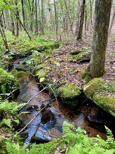
Approximately one mile from the parking area, the trail enters the Harrington Preserve at a stone wall. You'll see a red maple swamp with wetland pools on the right, followed by a cluster of granite boulders as you climb a small hill. At the top of the hill, turn right at the four-way intersection to start a 1.1-mile loop. The unmarked trail takes many twists and turns and is a just faint path on the ground in places.
Follow the winding trail and cross a second shallow stream. Bear right through the stone foundation of an old home, and then in 200 feet, turn left at a three-way intersection, passing between two large boulders. Here, you’ll see a fascinating complex of ancient stone walls that stop and start among boulders of all sizes, with the stream babbling below.
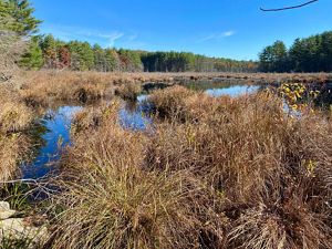
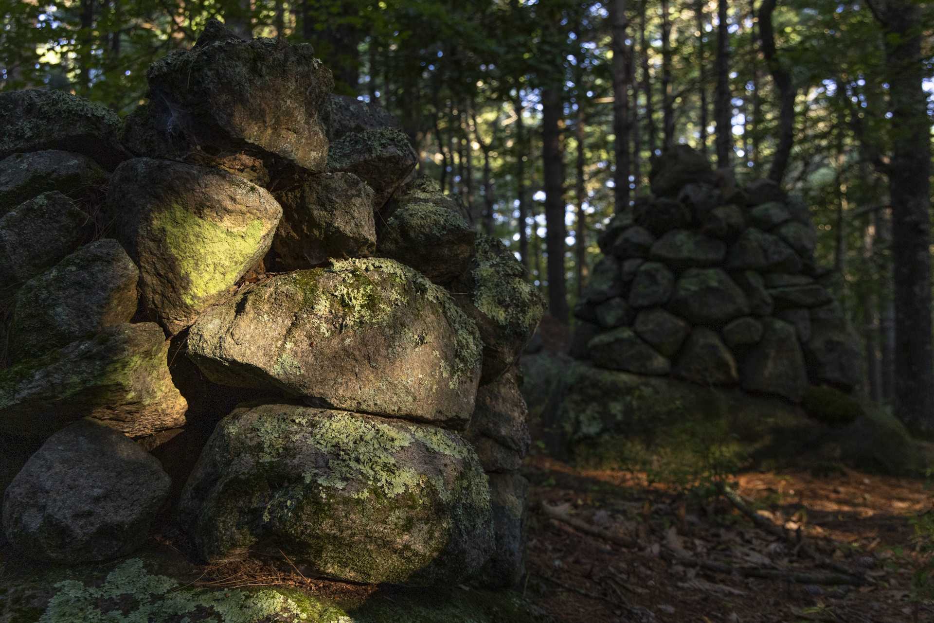
The trail then makes a fairly rugged but short climb to the top of a hill. Where the trail splits, bear left and a short distance ahead, turn left again onto a well-defined path that was once a logging trail. The trail passes by a dozen impressive cairns, consisting of rocks piled on top of boulders or exposed bedrock. At the next four-way intersection, go straight to see the historic cemetery, which overlooks a beaver pond.
Returning to that trail intersection, turn left to explore spur trails into the western half of the preserve. This will add 1.7 miles to your hike.
Or turn right to continue the loop, with the beaver pond on your right. Cross a stream once more and look for a narrower trail that bears to the left, about 50 feet after the stream. Follow this path back to the intersection at the top of a hill, closing the loop. Continue straight ahead, retracing your steps through the forest, and cross back over the paved road for the gravel bank. At the 6-way intersection, take the second left and head downhill. At the bottom of the hill, turn right and then take a quick left over the stream to return to the parking lot.