

Cumberland Plateau
We're stepping up efforts to safeguard the world's longest hardwood forested plateau.
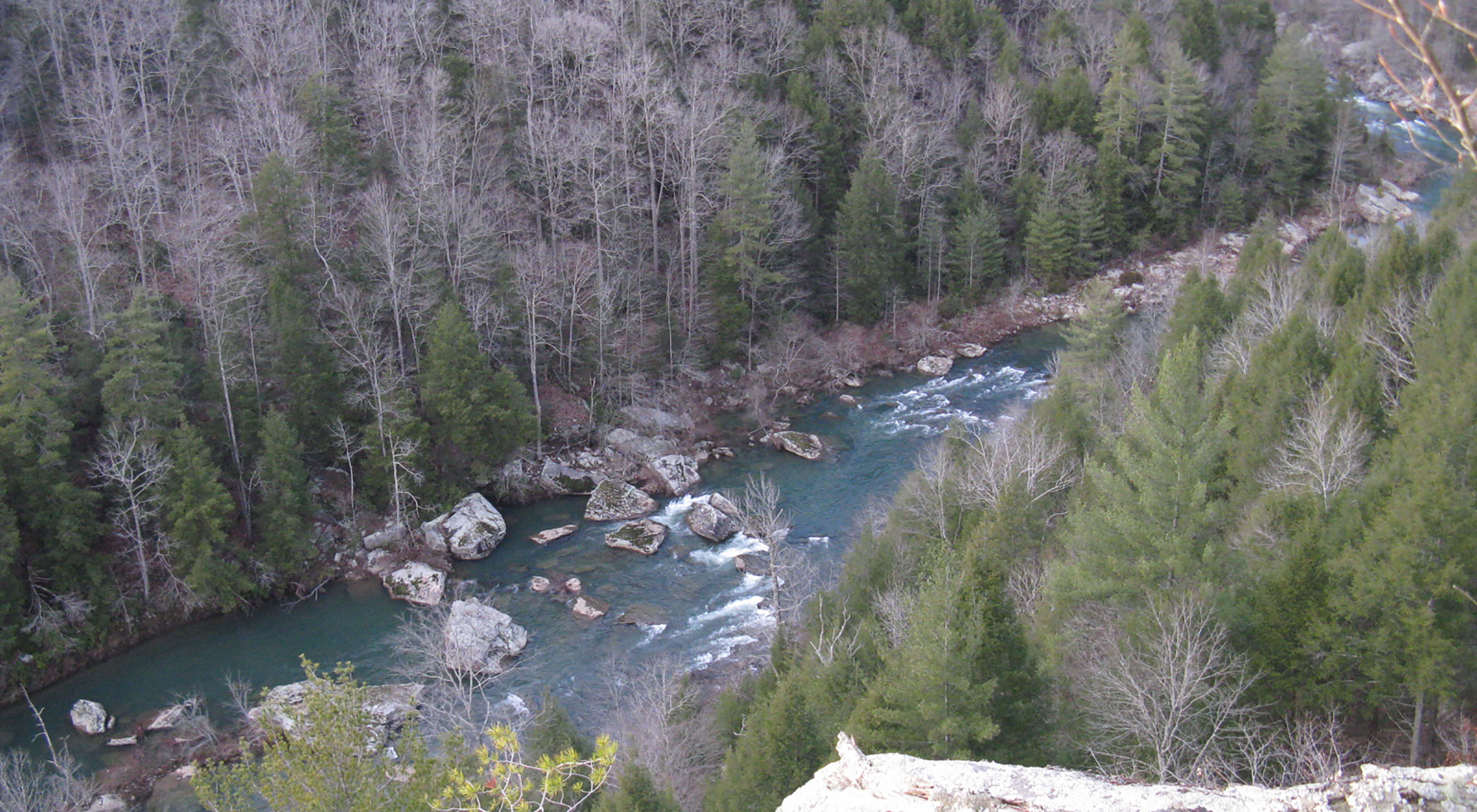
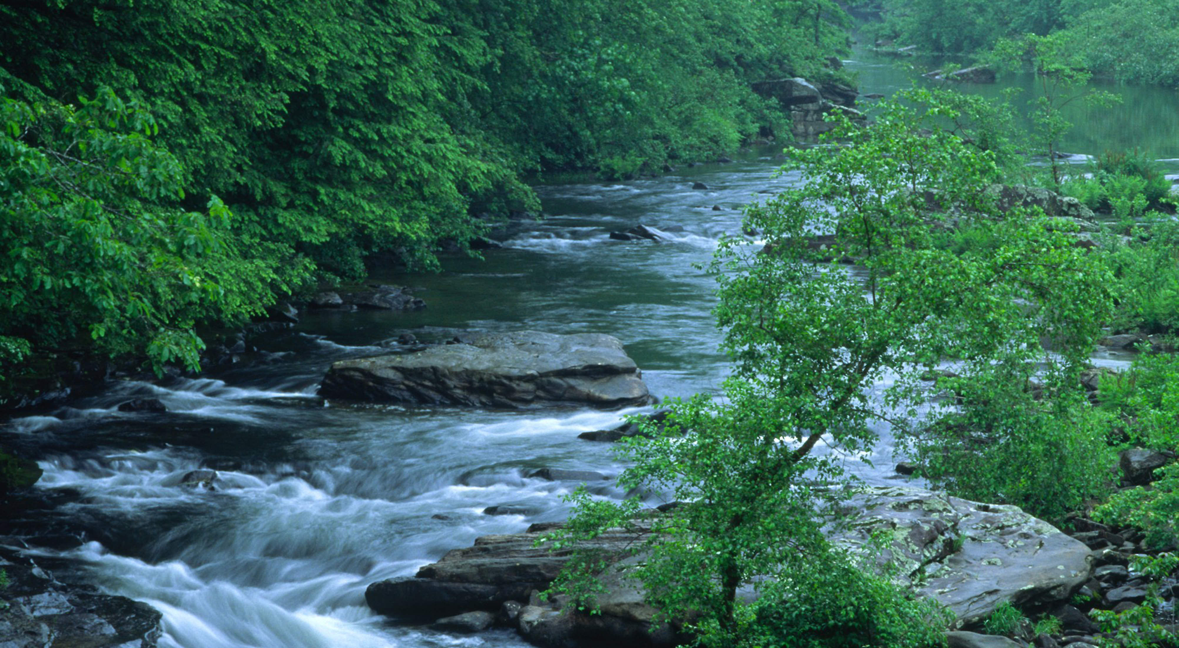
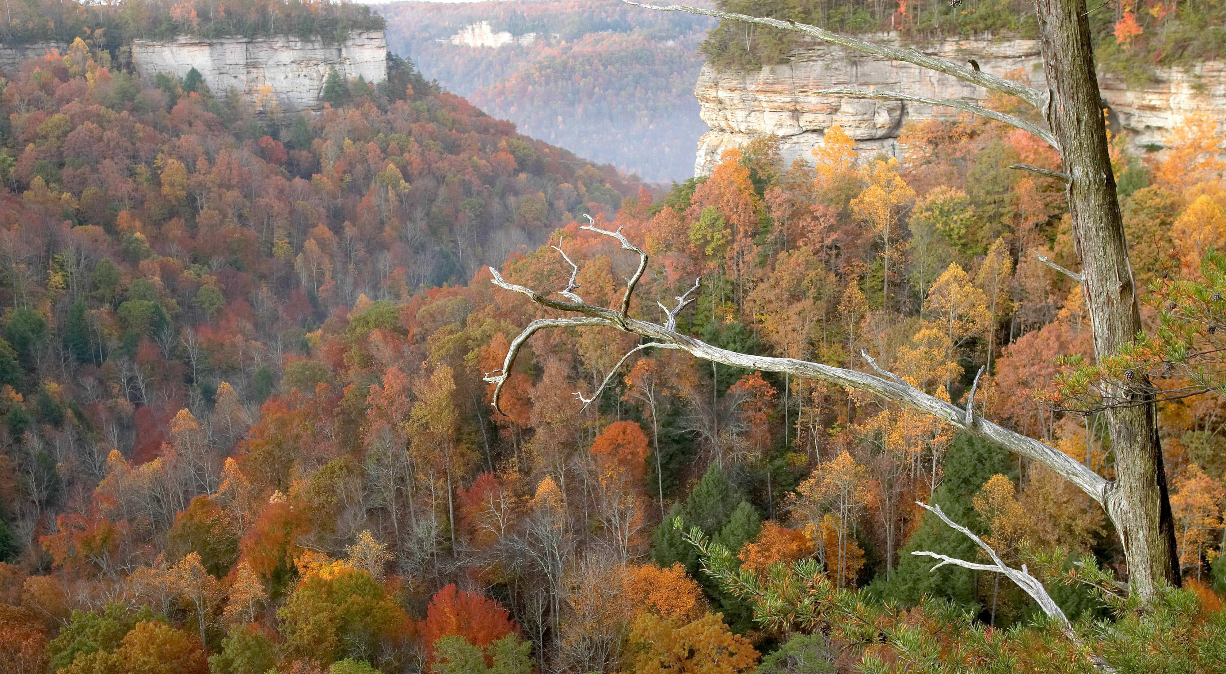
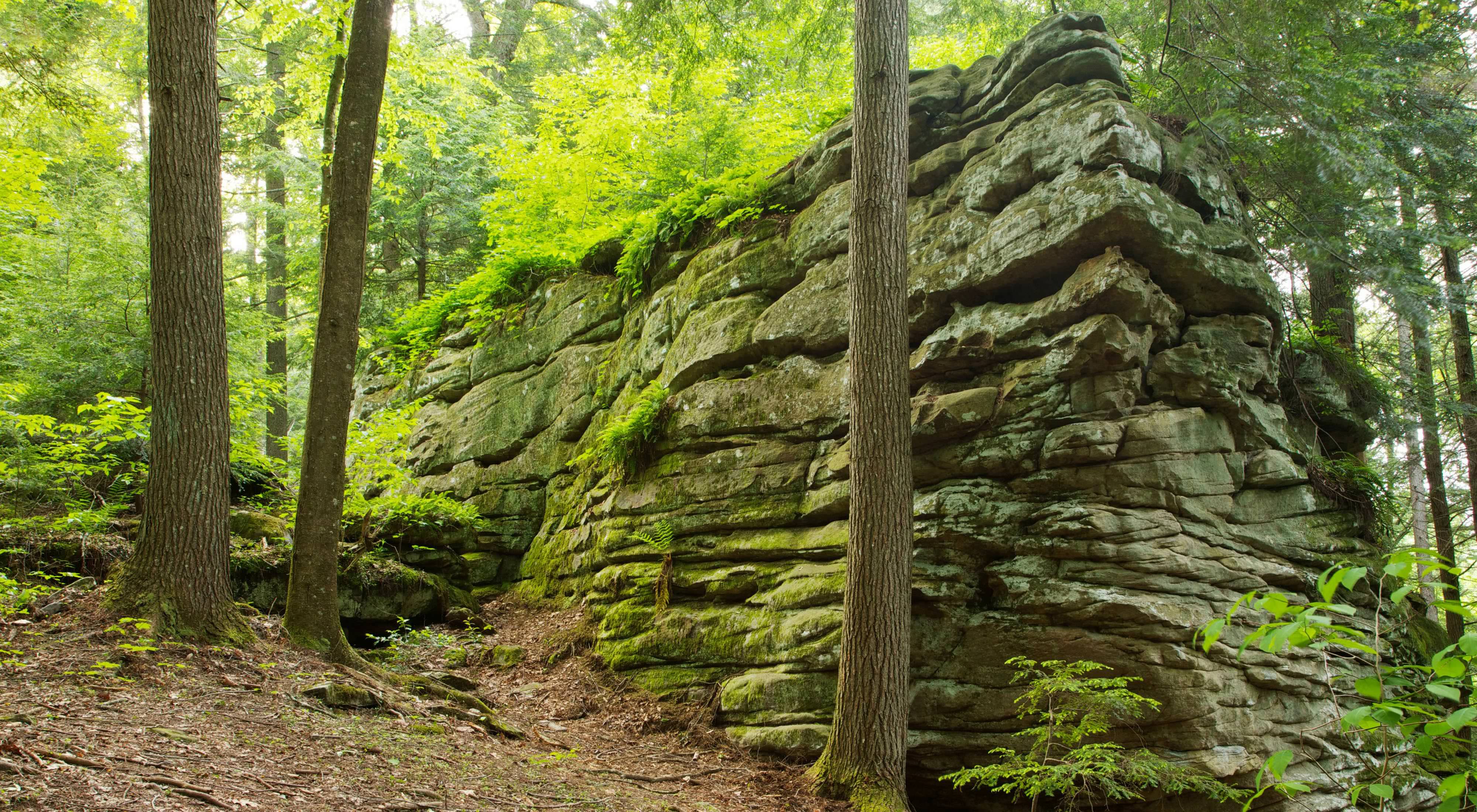
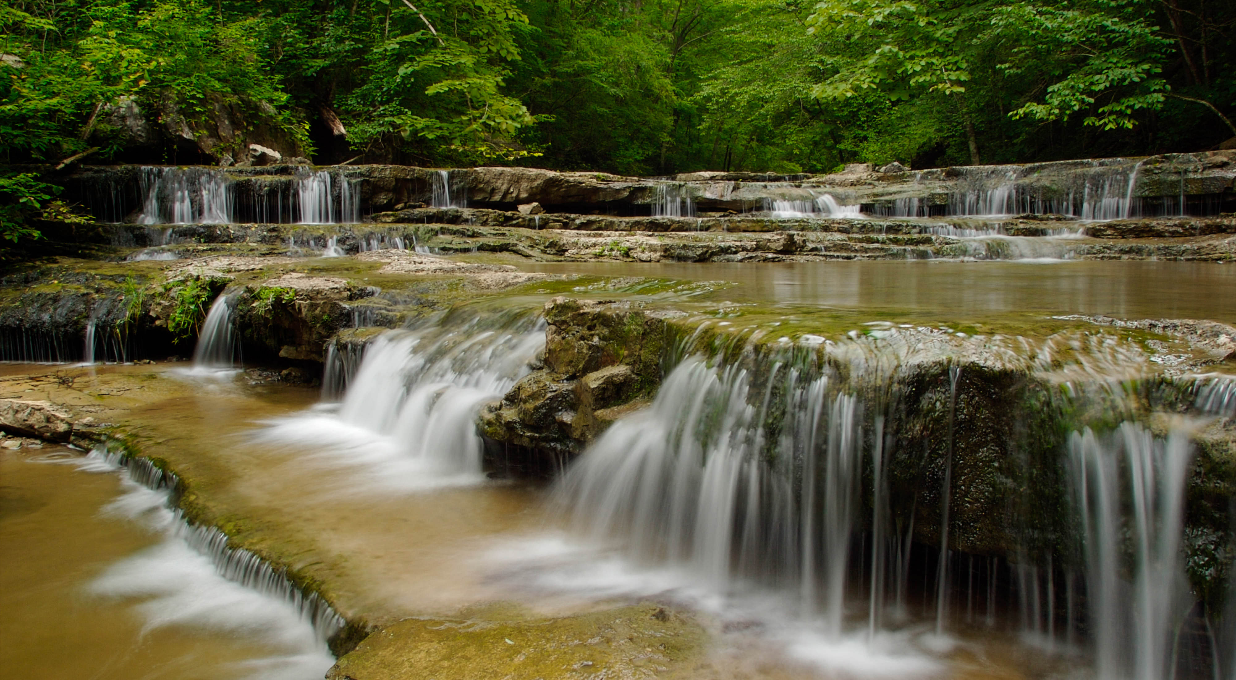
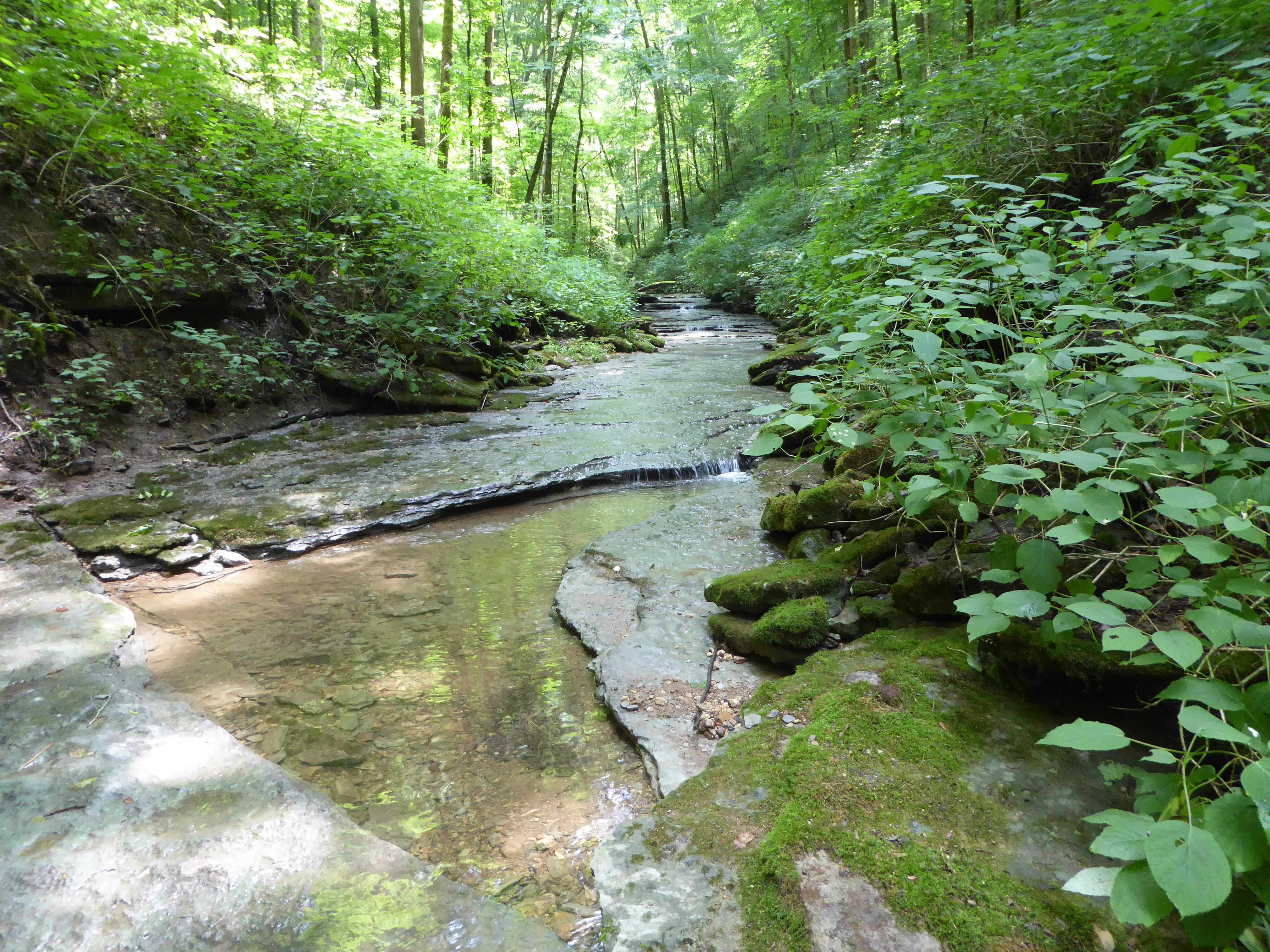
Carved by time and water, the Cumberland Plateau—the world's longest expanse of hardwood-forested plateau—boasts varied elevations, topography, soils and microclimates. With portions remaining remote and rugged, the Cumberland Plateau is a global hotspot for amphibians, cave fauna and vascular plants, and some of our nation's greatest variety of fish and mollusks, including laurel dace, purple bean and Cumberland pigtoe. Shortleaf pine and oak forests, interspersed with open woodlands and grasslands, welcome birds such as northern bobwhite, prairie warbler, brown-headed nuthatch and Bachman's sparrow.
Conserving the Cumberland Plateau
- fire suppression
- tree disease and pest infestations
- agricultural runoff
- stream modification
- introduction of non-native species
- unsustainable farming, timber and mining
The Nature Conservancy is well positioned to face these pressures due to our science-driven, collaborative approach that includes pursuing mutual goals with agency partners on public lands, working with private landowners to sustainably manage their working farm or forest, and building on lessons learned at TNC's system of Tennessee nature preserves.
In recent years, TNC has marked several achievements in the Cumberland Plateau, most recently with a transaction that secured 253,000 acres of Central Appalachian forestlands spread across two parcels, one located in Southwest Virginia and one along the Kentucky and Tennessee border. In addition to storing millions of tons of carbon, these properties comprising the Cumberland Forest Project—one of TNC’s largest conservation efforts in the eastern U.S.—secure critical habitat and natural corridors for diverse wildlife while providing a variety of recreation opportunities for people throughout the region.

Chestnut Mountain: A Living Laboratory
In 2018, TNC welcomed the opportunity to permanently protect 5,763 acres in the Cumberland Plateau thanks to a land donation from a longtime corporate partner, Bridgestone Americas, Inc. Prior to the donation, Bridgestone Americas, Inc. was already working with TNC on securing Forest Stewardship Council® certification for the property—now known as the Bridgestone Nature Reserve at Chestnut Mountain. TNC also implemented protective treatments to combat the non-native, invasive hemlock woolly adelgid pest and planted native shortleaf pines, a forest community that has declined by more than 50 percent in the past 30 years throughout its native range.
Since assuming ownership of the property, TNC has been conducting scientific research and on-the-ground conservation at the Reserve to gain an understanding of the property’s ecology through inventory and field study, and building relationships with local partners and members of the community. Specifically, this work includes:
- Developing the preserve as a cornerstone for science and research with cutting edge tools such as bioacoustics monitoring and Lidar mapping, and through partnerships with several universities.
- Continuing to restore shortleaf pine woodlands to accommodate plants and animals found in this rare habitat.
- Pursuing Forest Stewardship Council® certification for the entire property to advance sustainable management of timber harvested at the preserve.
- Exploring the idea of harnessing, and even building on, the preserve’s potential for sequestering more than 200,000 metric tons of carbon each year.
- Identifying ways of engaging the surrounding community by reaching out to youth, developing the preserve as a stop on the Cumberland Plateau’s Fire Learning Trail, and through other opportunities.
- Working to connect the preserve with nearby conservation lands totaling more than 65,000 acres to establish corridors for wildlife and improve the health and resilience of the Cumberland Plateau.

Establishing Chestnut Mountain as a living laboratory for ground-truthing conservation tools and technologies benefits the surrounding Cumberland Plateau. Results of this work also extend to the Appalachian Mountains, a global hotspot for biodiversity that harbors more rare and imperiled fish, mussels, crayfish and other freshwater species than anywhere in North America. These species benefit from healthy, intact forests that double as important carbon reserves with the potential for storing even more carbon with improved management.

Fire on the Plateau
One primary strategy emerging from TNC's research is a need to return periodic fire disturbances to the landscape. For thousands of years, fire played a significant role in shaping the Cumberland Plateau, however until recently, questions regarding fire on the Plateau remained:
- Where exactly on the landscape did fire occur most frequently?
- How can we prioritize prescribed fire efforts to maximize our impact?
- How can we implement fire with limited resources during a narrow window of opportunity?
In response, TNC and partners embarked on a mapping effort that paints a comprehensive ecological portrait of the entire Cumberland Plateau using a remote sensing tool—called LiDAR—capable of creating a precise, three-dimensional view of the earth below. Specifically, this exercise generated models of environmental variables for 23 counties and 3,977,320 acres that received review by local ecological experts. The data revealed a significant loss of native, fire-adapted forest and woodland habitat that once covered 85 percent of the landscape after more than a century of fire suppression. These findings illustrate a clear need for ecologically appropriate controlled burning that will invite native, fire adapted forests, and the species that depend on them, back to targeted portions of the Cumberland Plateau.
The data represent a huge leap forward in our understanding of this landscape’s ecology and provide a foundation for all ecological restoration going forward.
Another study, also conducted at Chestnut Mountain, confirms findings of the larger mapping effort. Specifically, dendrochronologists from the University of Missouri's Center for Tree Ring Science found evidence that naturally occuring fire was historically much more frequent in the region, changing over the last 300 years as humans settled across the landscape. In fact, they were frequent enough to sustain much more open conditions--such as grasslands and open woodlands--that were rich with fire-tolerant and sun-loving plants.
Based on the mapping and tree ring data, TNC and its partners are moving ahead with prioritizing specific locations for prescribed fire using a method called Ecomath, which customizes the process based on goals identified by participating land managers. After that, teams of highly trained prescribed burn practitioners deliver fire to the landscape.


Places We Protect
In addition to the Bridgestone Nature Reserve at Chestnut Mountain, TNC is protecting lands and waters at other locations throughout the Cumberland Plateau in Tennessee:
-

Clifty Creek Preserve
Clifty Creek cuts through a scenic, forested gorge before flowing into the Emory River. A globally endangered plant, Virginia spirea, grows along the creek's banks. Learn More
-
Clear Creek Preserve
This 73-acre preserve encompasses breathtaking sandstone cliffs that make it a popular destination for sport climbing. Learn More
-

Dobbs Creek/Tally Wilderness
These properties, adjacent to each other, are classic examples of northern Cumberland Plateau native hardwood forest. Support This Work
-
Obed River Preserve
While the National Park Service manages this preserve as part of the Obed Wild & Scenic River corridor, TNC treats hemlock trees on the property against the woolly adelgid. Learn More
-
Pogue Creek Canyon
Pogue Creek Canyon is an ecological and geological jewel of the northern Cumberland Plateau. Learn More
-
Stone Preserve
Known for its massive sandstone boulders, Stone Preserve is ideal for "bouldering" and exploring. Learn More
-
Walls of Jericho
This 21,543-acre landscape conntects several natural areas that straddles the Tennessee-Alabama border. Learn More
-
Wahmorgan Hollow Preserve
Washmorgan Hollowis a 73-acre preserve featuring a rocky creek that leads to a waterfall. Learn More
Support Tennessee Nature
Help us work with landowners and ensure a future in which people and nature can thrive.
Related Stories

Working Woodlands
The Nature Conservancy provides incentives to landowners interested in conserving their forest lands forever.

Why We Work With Fire
The Nature Conservancy is well known for conducting controlled burns to restore health and diversity to natural lands. But that's not the whole story.

Tennessee Forests and Woodlands
Conserving forests supports wildlife, benefits water quality and combats the effects of climate change in Tennessee.