
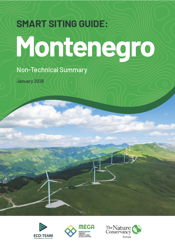
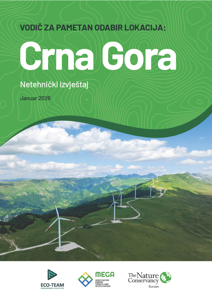
Smart Siting Guide: Montenegro
Balancing renewable energy, conservation and community priorities.
Explore Montenegro's Smart Siting Maps
Smart siting is a win for climate, nature and communities.
EXPLOREMontenegro already satisfies 45.5% of its energy needs through renewable energy sources, and has set an ambitious target of 50% by 2030. To achieve this target, accelerating the development of wind and solar energy is essential.
Expanding wind and solar energy at this scale means making choices about where and how to build. Choices that will shape landscapes, communities and ecosystems for generations to come.
The Nature Conservancy's smart siting approach offers a practical roadmap for decision-makers, renewable energy actors and civil society to identify the optimal locations for renewable energy development, whilst avoiding conflict with areas of high biodiversity or social value.
This study and guide bring together the best available science, policy context and local knowledge to answer a central question:
How can Montenegro accelerate renewable energy while protecting biodiversity and respecting social values?
The Smart Siting Approach
TNC's smart siting approach uses a robust data collection, analysis and presentation methodology to identify locations for solar and wind energy development that avoid conflict with areas of high biodiversity or social value.
Launched by TNC and local NGO Eco-Team in October 2024, the Montenegro Energy Growth and Acceleration (MEGA) project implemented TNC's smart siting approach to develop a low-conflict solar and wind siting scenario for the entire country.
Gathered around the Advisory Committee, the project was supported by the line ministries of the Government of Montenegro, International Financial Institutions and the Energy Community Secretariat, through data sharing, oversight of the study development process, verification and endorsement of the results.
The primary product of the study is granular mapping of renewable energy development potential across Montenegro, including sites suitable for Renewable Acceleration Area (RAA) designation.
Applying the approach in Montenegro can be broken down into four steps:
- Identifying and applying constraints: Areas with factors that prevented utility-scale (>5MW) wind or solar development were eliminated, either for environmental reasons such as slope and terrain or legal reasons such as residential zones and zones of strict protection in national parks.
- Calculating development potential: Parameters that affect the feasibility of wind and solar projects such as resource availability, (e.g. average wind speeds and solar irradiance), availability of infrastructure (e.g. proximity and capacity of electrical grids, roads) or proximity to load centers were assessed and assigned weighted values in calculations according to detailed expert input.
- Estimating conflict potential: An array of datasets related to different conflict categories were compiled, such as places important for biodiversity (e.g. Important Bird Areas and other ecologically significant areas), areas of heightened socio-cultural value (e.g., sacral architecture, high landscape value viewsheds) or natural resources (e.g., valuable forests and high-value agricultural land).
- Bringing all the data together: Steps 1-3 were visualised and overlaid onto maps to identify optimal locations, prioritizing places with a low potential for conflicts and high development potential.
Whilst the process was data intensive, this methodology produced a detailed and actionable mapping of renewable energy development potential and generated datasets on grid capacity, brownfield sites and rural settlements that added value beyond the project.


Explore Montenegro’s Smart Siting Maps
This interactive view allows you to access each layer of mapping and an overlaid view.
ExploreContextual Challenges
Developer and investor interest is already high in Montenegro. However, development progress faces challenges that could stifle or prevent the fulfilment of the country's renewable energy potential.
These challenges - financing gaps, lengthy permitting processes and grid capacity - are magnified when projects intersect with other land uses and values, risking delays or cancellations.
These are all factors that have been highlighted as shaping the renewable energy development process and have been engaged with as part of this study
Breaking the Gridlock: The proximity of a prospective renewable energy project to high-voltage infrastructure means nothing if it's already carrying as much power as it physically can. Because the connection capacity of the electrical grid was repeatedly identified as one of the main bottlenecks, special attention was given to this criterion.
Montenegro's transmission system operator (Crnogorski elektroprenosni sistem-CGES), provided expertise and data to produce a bespoke nation-wide capacity model that was used to refine the study's development potential calculations.


Shaping Development Priorities: When identifying priority areas for development, asking the right people is just as important as having the right methodology. The MEGA project team comprised of national experts in energy, geospatial analysis, biodiversity, spatial planning and social values.
The methodology and results were verified by an independent peer-review panel, a high-level advisory board with representatives from all relevant institutions.
Two groups of subject matter experts were consulted to calculate weighting factors for Step 2 and 3 of the smart siting approach process using the well-supported Analytic Hierarchy Process. These weights were used to combine criteria into single development potential and conflict maps.

Using Brownfields to their Full Potential: Brownfields, i.e. already converted and underutilized or abandoned areas such as landfills and former industrial sites, are widely recognized as a sensible first target for development of renewable energy, firstly because their use for this purpose avoids conversion of more valuable natural or agricultural areas and secondly because they frequently possess the necessary infrastructure for development.
For these reasons, brownfields are recognized in the revised Renewable Energy Directive (RED) as priority areas for new renewable energy projects. In this analysis, particular attention was paid to brownfields by calculating their total potential separately from the other areas, but still taking into account the possible conflicts associated with their development.

MEGA Project Findings
The findings of the MEGA project are encouraging. Based on the identification and mapping of low-conflict, high development potential sites, Montenegro can meet its 2030 renewable energy targets by developing just 1/5th of the available low-conflict sites into new solar and wind plants.
Furthermore, the potential combined capacity from developing low-conflict sites, for solar and wind, is approximately 17 times larger than the current installed capacity of all energy plants in Montenegro.
Through smart siting and proactive investment, Montenegro can surpass its 50% renewable energy share target using exclusively low-conflict sites and scale up its energy production using purely renewable energy sources.
These findings strongly complement TNC's partnership agreement with the Energy Community Secretariat, supporting coordinated action on sustainable and just renewable energy deployment across the region and providing a strong analytical foundation for policy alignment.

Recommendations
Montenegro can emerge as a regional leader in accelerating renewable energy development, with a special emphasis on the potential of brownfield locations.
The approach used in Montenegro could inspire other countries in the Southeast Europe to adopt a similar strategy that balances decarbonization with biodiversity priorities, contributing to Europe’s progress towards a more sustainable energy future.
Following the findings of this study, TNC and Eco-team have developed a set of call-to-actions for stakeholders in Montenegro to help the country fulfil its renewable enery potential:
To improve the regulatory and institutional frameworks, we call on:
- The Government of Montenegro to use these results as a basis for designating RAAs in national legislation and to integrate them into decarbonization measures within the national strategic documents.
- Spatial planning authorities to take into account these maps when mapping locations for renewable energy development in both national and local spatial plans.
- National grid operators to use the maps to inform grid optimization and development planning.
- The Ministry of Energy and Mining to consider incorporating maps in the design of auctions, either as a tool for selecting locations for site-specific auctions or for assessing the sustainability of projects proposed by developers.
- Competent authorities involved in renewable energy permitting to leverage the study maps to prioritize projects with low environmental and social conflicts over those following a business-as-usual approach.
To unlock investment potential, we can call on:
- The Montenegrin Investment Agency to use the study findings to promote the renewable energy investments towards low-conflict locations.
- Investors and commercial banks to consult maps to identify projects that are financially viable, climate neutral and sustainable, leading to reduced risk from public opposition and accelerated permitting.
- financial institutions and donors to use the study results as a decision-making tool for directing financial and technical assistance to initiatives that contribute to the sustainable achievement of the national renewable energy targets.
Smart Siting Guide: Montenegro (ENGLISH VERSIONS)
-
 Executive Summary
An overview of the key findings and recommendations from the MEGA project to help guide decision-making for future energy planning.
Download -
 Detailed Methodological Report
In-depth insight into the MEGA project's methodology and findings, developed for renewable energy practitioners and project developers.
Download
Smart Siting Guide: Montenegro (Montenegrin VERSIONS)
Global Insights Newsletter
Sign up to receive our Global Insights newsletter and other select content for thought leaders who believe that, together, we can build a better future for people and the planet. We address the sustainability issues of the moment and explore potential solutions—all in a five-minute read or less.

Related Reading

Renewable Energy Smart Siting Guide: Portugal
The Smart Siting Guide: Portugal offers a practical roadmap for decision-makers, renewable energy actors and civil society for spatial considerations of a renewable energy future.

Meeting Serbia’s Energy Needs: A Smart Siting Map for Solar Power
Our analysis has identified enough low-impact solar potential to generate 10% of Serbia's household energy consumption.

Croatia: Mapping Nature to Power the Transition
Croatia’s new sensitivity maps, developed in collaboration with The Nature Conservancy and other local partners, provide a data-driven foundation for developing renewable energy in harmony with nature