Croatia: Mapping Nature to Power the Transition
Croatia’s sensitivity maps provide a data-driven foundation for developing renewable energy in harmony with nature.
Mapping a Renewable Future in Croatia
The biodiversity sensitivity maps are key to nature-positive energy planning.
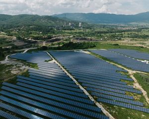
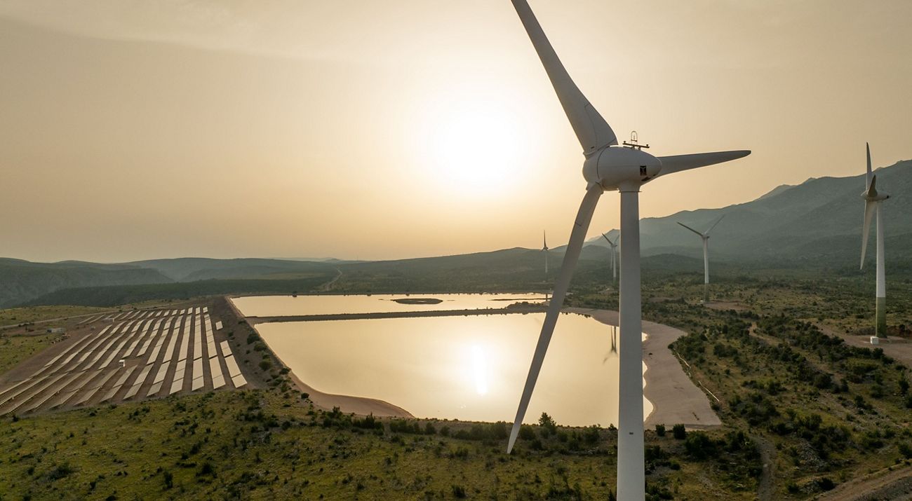
Explore the mapsAs part of the European Green Deal, Croatia aims to achieve a 42.5% share of renewables in gross final energy consumption by 2030. To reach this ambitious goal, the country must accelerate the deployment of solar and wind energy—while protecting its rich biodiversity.
With over 38% of Croatia’s territory covered by protected areas and Natura 2000 sites, careful spatial planning is essential to ensure that renewable energy development supports climate goals without compromising the country’s exceptional natural heritage.
To support this, the Ministry of Environmental Protection and Green Transition, the Hrvoje Požar Energy Institute, and The Nature Conservancy (TNC) partnered to develop a new set of biodiversity sensitivity maps. These maps help identify areas across the country where solar and wind development would have the least conflict with nature, allowing for more informed and sustainable decision-making.
The sensitivity maps are now available to the public via Croatia’s national Bioportal, providing essential tools to guide energy developers, planners, and policy-makers toward responsible renewable energy siting.
A Tool for Smart Siting
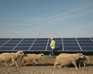
The development of renewable energy is a top priority across Europe—but not every location is suitable for wind turbines or solar panels. Many proposed sites overlap with critical habitats for protected species such as bats, birds, and large carnivores.
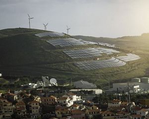
Smart siting is the process of placing renewable energy projects where they can deliver the most benefits while minimizing conflicts with nature and people. When done well, it accelerates energy development and helps avoid delays, public opposition, and biodiversity loss.
Together with partners from the Hrvoje Požar Energy Institute, TNC applied this smart siting approach on a national scale in Croatia, bringing together sensitivity maps as a measure of biodiversity conflict with land use and other spatially relevant information in a scientific, transparent and replicable framework to provide a basis for future Renewables Acceleration Area (RAA) designation.
The maps build on a pilot study conducted by TNC and Energy Institute Hrvoje Požar in 2021 that identified enough land in the county of Zadar alone to meet half of the country’s total national 2030 target for solar and wind power at that time with minimal impact to nature and communities. TNC has since deployed this smart siting methodology across Southeast Europe to inform national studies in Serbia and North Macedonia, as well as a similar pilot study in Nikšić, Montenegro.
Biodiversity sensitivity maps of Croatia
Key findings
The sensitivity maps are built on more than one million animal observations and data on 350 species, including birds, bats, and large carnivores, making them one of the most comprehensive biodiversity-based siting tools in Europe.
They offer:
- Transparent, science-based prioritization of areas with minimal environmental impact for solar and wind energy projects.
- Faster and more informed decision-making for planners and investors.
- A strong basis for the future designation of Renewable Acceleration Areas - facilitating rapid renewable energy development and ensuring that conservation and decarbonization go hand in hand.
The mapping approach combines machine learning, expert validation, and open-access data, offering a replicable model for future updates.
What’s next?
With the sensitivity maps now publicly available, Croatia is taking a crucial step toward aligning energy expansion with nature protection. These maps can be used as a foundation for strategic spatial planning and will continue to guide national efforts in identifying RAAs.
The next phase includes integrating the maps with land use and grid capacity analyses, as well as providing guidance for project screening and permitting processes. Just as importantly, it involves raising awareness among stakeholders and the broader public—helping ensure that these tools are effectively applied across sectors. In doing so, Croatia is paving the way for a just, science-based energy transition that safeguards its natural heritage.
Global Insights Newsletter
Sign up to receive our Global Insights newsletter and other select content for thought leaders who believe that, together, we can build a better future for people and the planet. We address the sustainability issues of the moment and explore potential solutions—all in a five-minute read or less.


