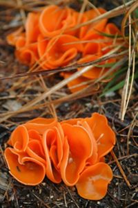
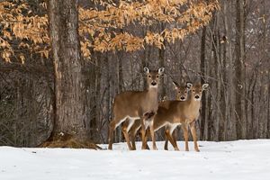
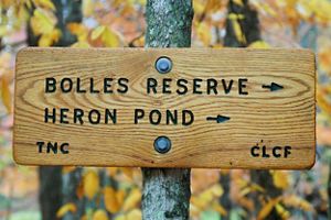
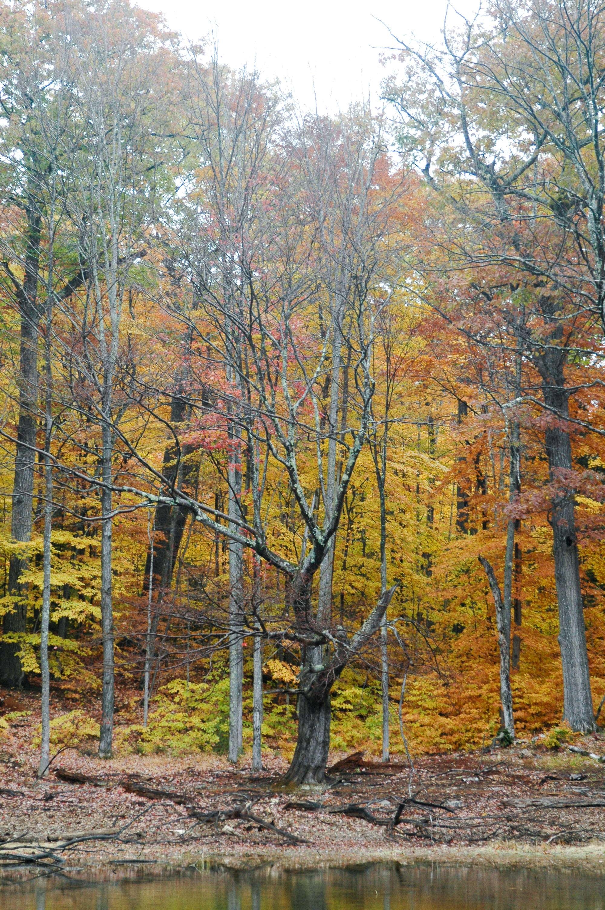
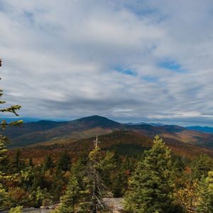
interstitialRedirectModalTitle

interstitialRedirectModalMessage

Places We Protect

Frank Bolles Nature Reserve

New Hampshire

A man and two boys look at a sign-in sheet at a register box in the woods. A wooden sign in the foreground reads Frank Bolles Nature Reserve, The Nature Conservancy.
Frank Bolles Preserve NH Hikers sign in at the Frank Bolles Preserve in Tamworth, New Hampshire © Rebecca Laflam

An easy escape into the woods, where glacial ponds, gentle trails and mountain views reward every step.

Overview

Description

Frank Bolles Preserve is a place to slow down and notice the quiet wonders of the natural world. Located in Tamworth at the foot of Mount Chocorua, this 247‑acre preserve protects an exceptional mix of forests, wetlands, streams and glacial landforms, with frontage along the northern shore of Chocorua Lake.

Here, wooded trails wind past kettlehole ponds, eskers and peaceful shoreline views. The preserve is part of a larger, interconnected conservation landscape that includes the White Mountain National Forest and lands protected by the Chocorua Lake Conservancy—creating an expansive refuge for wildlife and a serene escape for visitors seeking reflection, exploration and connection with nature.

Access

OPEN TO THE PUBLIC

Frank Bolles was a naturalist and writer.

Hours

Dawn to dusk, daily.

Highlights

Keep an eye out for wildlife as you explore—this reserve is home to moose, white‑tailed deer, black bear, red fox, river otter and snowshoe hare. Heron Pond and surrounding wetlands attract a variety of birds, making the trails especially rewarding for quiet wildlife watching. Move slowly, listen closely and you may spot tracks, calls or fleeting glimpses along the way.

Size

247 acres

Explore our work in New Hampshire

Photos from Frank Bolles Nature Reserve

Nestled at the foot of Mount Chocorua, Frank Bolles Preserve offers peaceful trails, glacial ponds and sweeping views of Chocorua Lake.

A view of Chocorua Lake and mountain in fall colors.
A red fox standing on a log in the woods.
An orange fungus on the forest floor that looks like orange peel.
Three white-tailed deer standing under a tree in snow.
A wooden sign nailed to a tree that says Bolles Reserve and Heron Pond, with arrows.

Visit

    • Wildlife & Birdlife: Watch for signs of moose, white‑tailed deer, black bear, red fox, river otter and snowshoe hare, along with a variety of birds drawn to the forests, wetlands and Heron Pond. Quiet walking and patient listening often reveal the most sightings.
    • Literary Landscape: Walk the forests and lakeshore that inspired Frank Bolles, a beloved New England naturalist whose writing celebrated the quiet beauty of this region.
    • Heron Pond (Lonely Lake): Visit this unique pond formed by melting glaciers, with water levels that shift so dramatically they sometimes change the shape of the pond itself.
    • Lake & Mountain Setting: Trails wind through forests at the foot of Mount Chocorua and reach Chocorua Lake’s shoreline.
    • Rich Natural Diversity: Forests, wetlands, streams and glacial landforms support abundant wildlife.
    • Heron Pond Loop (~2.5 miles, moderate): A favorite route circling the pond through forest and wetland habitats.
    • Lake Trail (~1 mile, easy): A gentle walk leading to the shores of Chocorua Lake.
    • Bickford Heights Trail: A gradual climb to a small summit (1,080’) with forested views.
    • Old Mail Road & Middle Trail: Historic and connector routes linking to neighboring conserved lands.

    Trails at Frank Bolles Preserve connect seamlessly with the broader Chocorua Conservation Lands trail network.

    • Access Points:
      North: Scott Road (shared parking with White Mountain National Forest)
      South: Bolles Road off Fowler’s Mill Road
    • Parking: Small roadside lots; please park only in designated areas.
    • Allowed Uses: Hiking, nature observation, education and research.
    • Pets: Dogs must be leashed at all times.
    • Seasonal Conditions: Trails may be wet or muddy in spring; winter travel is suitable for snowshoes or skis.
  • To minimize disturbance of the wildlife and habitat of this nature preserve and to support the enjoyment of all visitors, please follow these guidelines:

    • Pedestrian use only—no motorized vehicles, horses, ATVs or bikes.
    • Leave No Trace—please keep the preserve clean by carrying out your trash.
    • Respect the natural world around you! Do not remove or destroy plants, wildlife, minerals, rocks or cultural items.
    • No camping or open fires allowed.
    • Dogs are allowed but must be leashed at all times.
    • Other Power-Driven Mobility Devices (e.g., utility vehicles, Segways, golf carts, etc.) are prohibited at this preserve.
A craggly tree with no leaves stands in front of trees cloaked in fall colors.
Fall at Frank Bolles Reserve It's easy to see how writer and poet Frank Bolles was inspired by this landscape. © Dan McCarthy

History

In the Footsteps of Frank Bolles

Frank Bolles Nature Reserve was protected in 1969 through a gift from Evelyn Bolles Phenix, daughter of renowned New England naturalist and writer Frank Bolles (1856–1894). Bolles was known for his lyrical observations of nature, most notably in his book At the North of Bearcamp Water, which celebrates the landscapes, wildlife and quiet beauty of the Chocorua region.

The land was conserved to honor his legacy and to protect the remarkable diversity found here—forests, wetlands, streams, glacial formations and lake shoreline—all within a single landscape.

Today, Frank Bolles Nature Reserve is co‑managed with the Chocorua Lake Conservancy and remains open to the public for quiet recreation and discovery. Walking these trails is not only a journey through a beautiful natural setting, but also a connection to a long tradition of conservation, curiosity and reverence for the natural world.

Find More Places We Protect

The Nature Conservancy owns nearly 1,500 preserves covering more than 2.5 million acres across all 50 states. These lands protect wildlife and natural systems, serve as living laboratories for innovative science and connect people to the natural world.

See the Complete Map