

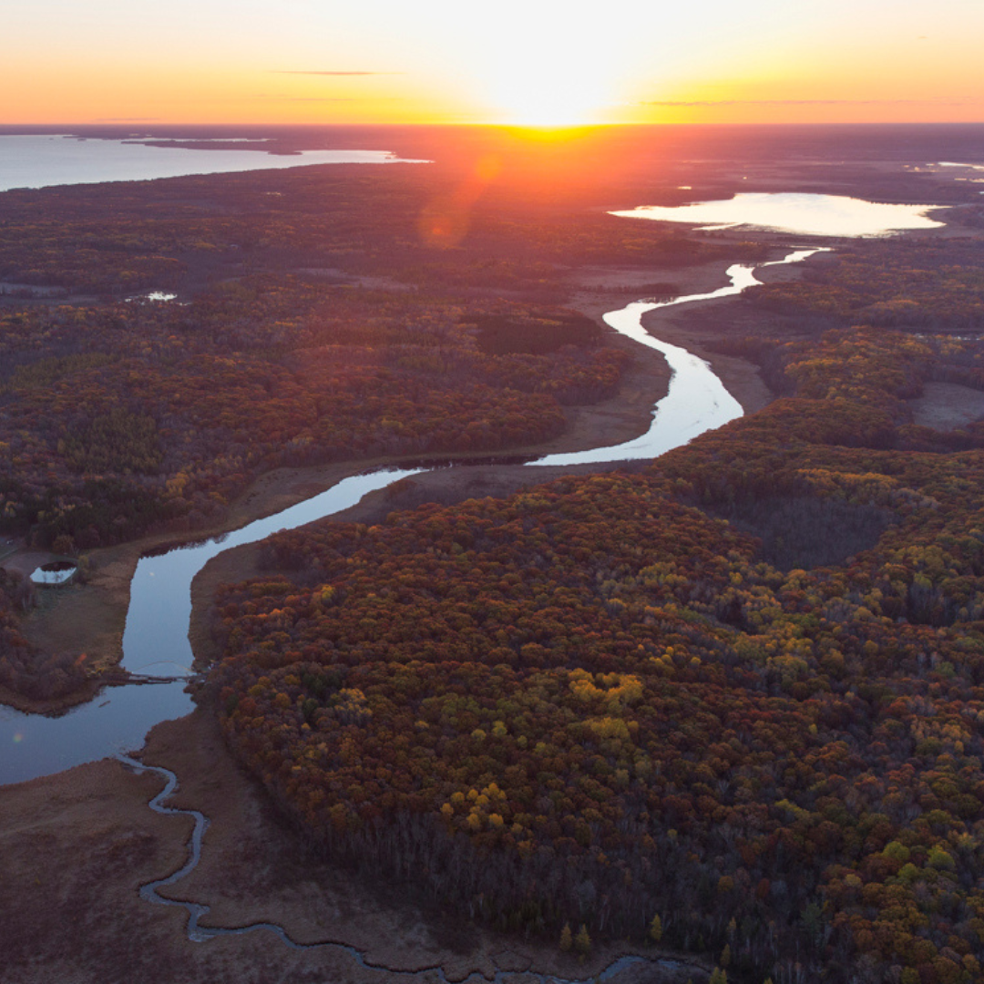
Lifeblood Aerial view of the Mississippi River system near Rosedale, Mississippi. October, 2020. © Rory Doyle
Imagine the Mississippi and Missouri rivers as wild, sprawling waterways—before we tried to tame them. In the late 1800s, these rivers looked quite different than they do today. Starting in the early 1900s, we began to drastically change the way we try to manage these huge and important rivers. For years, there were high-profile differences of opinion in how a river like the Mississippi could be managed to reduce catastrophic flooding. Some believed that containing the river between tall levees, long earthen mounds that border the river on one or both sides, would protect those behind the levee from flooding and would cause the river to cut deeper into its bed, lowering the river level or at least preventing it from rising over time. Others believed that trapping the river between these levees would only result in more disastrous floods as the river inevitably broke through during powerful floods.
That debate came to a head during the Great Flood of 1927. In its wake, Congress passed the Flood Control Act of 1928, authorizing the world’s longest levee system along the Mississippi. Later, the Pick-Sloan Flood Control Act of 1944 extended similar control structures to the Missouri River.


In 1993, our river management was tested again with another great flood, resulting in around $15 billion in damages and compromising levee systems along both the Missouri and Mississippi rivers. In Missouri, we learned some valuable lessons from this flood, namely that trees have a lot to do with flood resiliency.
This realization spurred the creation of the U.S. Fish and Wildlife Service Big Muddy Wildlife Refuge in 1994, a natural floodplain “string of pearls” between St. Louis and Kansas City meant to allow the river room to expand during moderate flooding. It also informed the creation of the Center for Agroforestry at the University of Missouri in 1998. Realizing how important trees are in floodplains, this program seeks to find ways to reintroduce trees into the working lands in a way that benefits farmers and wildlife.
Building for the Future
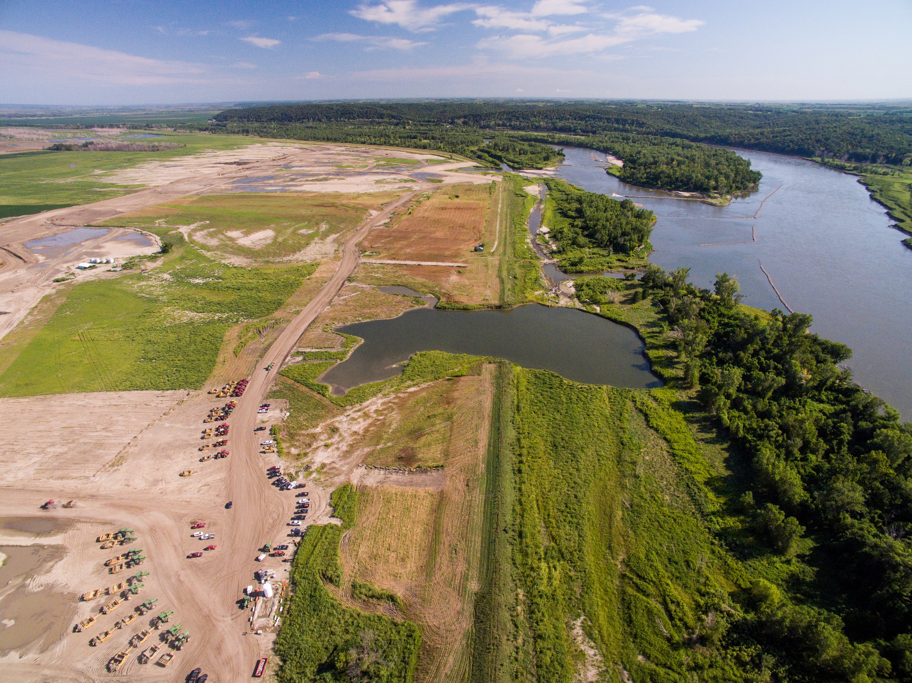
Following the 2019 flood, TNC worked with Atchison County to create an innovative levee setback along the Missouri River that reduces flood risk and boosts habitat.
It's in Our Nature Podcast
Listen to It’s in Our Nature to hear from TNC staff and partners about the project.
Listen NowWhen the Missouri River surged in 2019, Atchison County in northwest Missouri faced devastation: 56,000 acres underwater, 166 homes flooded and $25 million in agricultural losses. For decades, the solution had been to rebuild levees in the same place—but this time, local leaders chose a different path.
Working with The Nature Conservancy, the U.S. Army Corps of Engineers and other partners, the Atchison County Levee District moved five miles of levee inland, reconnecting 1,040 acres of floodplain. This levee setback gave the river room to spread out during floods, reducing pressure on levees and creating new habitat for wildlife. It’s a win-win: stronger protection for communities and healthier ecosystems for birds, fish and native plants.
This innovative project is changing how Missouri thinks about flood resilience—and it’s just the beginning. Learn how collaboration is shaping Missouri’s rivers and future at nature.org/moriverlevee.
The Nature Conservancy’s work for rivers in Missouri, across the Mississippi River Basin and around the world is supported in part by the Enterprise Mobility Foundation.
The Mississippi Basin Is Bigger Than You Think
The Mississippi River Basin, or watershed, is the vast area of land where rainfall feeds an interconnected system of more than 7,000 rivers and streams across 31 states, all flowing into the Mississippi River.
Stretching from the Missouri River in Montana to the Allegheny in Pennsylvania and south to the Atchafalaya in Louisiana, this vast system provides drinking water, nourishes crops and offers critical wildlife habitat. Yet the Mississippi River Basin has been dramatically reshaped over time, and these changes cause serious consequences. Decades of draining wetlands, tilling grasslands, straightening rivers and disconnecting floodplains have increased nutrient pollution, worsened flooding and led to widespread habitat loss.
By caring for local lands and waters, we improve the entire system. What does this look like? Planting trees and restoring prairies and grasslands to keep roots in the ground. Employing regenerative agriculture practices that mimic natural ecosystems to hold onto nutrients, soil and water. And protecting wetlands that absorb floodwaters and provide wildlife habitat.
That's why TNC partners across sectors and state lines to improve water quality, restore habitat and strengthen climate resilience. The work adds up across landscapes to create a healthier river and a more sustainable future. Learn more about the Mississippi River Basin.
More from Missouri

Protecting the Meramec River
Learn how The Nature Conservancy is working with partners on the Meramec River to restore habitats, protect wildlife and increase water quality for future generations.

Restoring Missouri’s Landscapes with Fire
TNC Missouri is using prescribed fire, strategic partnerships and hands-on training to restore native habitats and build a more resilient landscape.

Going Underground: Protecting the Interior Highlands
The Nature Conservancy is crossing borders—Missouri, Arkansas, Oklahoma and Kansas to be specific—to protect our caves and increase water quality.