
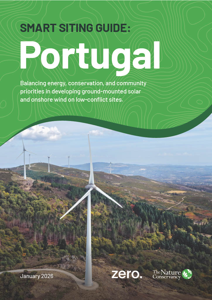
Smart Siting Guide: Portugal
Balancing renewable energy, conservation and community priorities.
Explore Portugal’s Smart Siting Maps
Smart Siting is a win for climate, nature and communities.
EXPLOREPortugal stands at a crossroads. The country’s commitment to generate 93% of its electricity from renewable sources by 2030 is bold, but the path forward is not simple.
Expanding wind and solar energy at this scale means making choices about where and how to build. Choices that will shape landscapes, communities, and ecosystems for generations to come.
The Smart Siting Guide: Portugal offers a practical roadmap for decision-makers, renewable energy actors and civil society for spatial considerations of a renewable energy future. It brings together the best available science, policy context, and local knowledge to answer a central question:
How can Portugal accelerate renewable energy while protecting biodiversity and respecting social values?
A Science-Based Approach
The Smart Siting Guide’s methodology starts by mapping areas where wind and solar projects have the highest likelihood of successful deployment.
This is carried out using a predictive modelling approach that blends technical criteria and real-world constraints.
Next, it overlays two critical lenses:
- Biodiversity: A “coarse-filter/fine-filter” approach combines ecosystem-level data with species-level information. This enables nuanced classification of land, from low to high conflict, based on ecological sensitivity.
- Social Values: Landscape aesthetics, cultural heritage, and coastal sensitivity are mapped using national datasets and innovative proxies such as geotagged social media photos. These layers highlight areas that matter most to people, which translates into places where new infrastructure could spark resistance or require extra care.
Finally, these layers are integrated to identify “low-conflict, high development potential” sites: places where renewable energy can be built with minimal risk to nature or communities.

This graphic, which shows the mapping layers of the smart siting methodology, provides a description of each layer. At the bottom is the Social Value Layer, including landscape aesthetics, cultural heritage, and coastal sensitivity. Next is the Biodiversity Layer, a coarse-filter/fine-filter approach that combines ecosystem data with species-level information. Above that is the Energy Potential Layer, a predictive modelling approach that blends technical criteria and real-world constraints to identify areas where wind and solar projects have the highest likelihoods of successful development. Finally, at the top is the map combination, where layers are combined to identify low conflict, high development potential sites, places with strong technical potential for renewable energy development that pose minimal risk to nature and communities.
Key Findings
- Solar Energy: Mainland Portugal has more than five times the low conflict land needed to meet its 2030 goal for ground-mounted solar (exclusive of rooftop solar). This surplus gives policymakers and developers flexibility to choose sites that work best for both energy and the environment.
- Wind Energy: Up to 70% of the onshore wind energy target can be met on low-conflict sites. The rest can be achieved by adopting strong mitigation measures for upgrading existing wind farms (e.g., repowering/overpowering) and, where necessary, developing in moderate conflict zones.
- Moderate Conflict Zones: These areas are not off-limits. With careful planning and stakeholder engagement, they offer a strategic reserve for future expansion with nature restoration co-benefits, especially as technology and policy evolve.
- Grid Expansion: Smart siting data can guide where to invest in grid upgrades, focusing on regions with high renewable energy potential and low-conflict. This helps avoid unnecessary impacts and supports efficient energy delivery.
- Social Inclusion: Participatory mapping and viewshed analysis highlight the importance of listening to communities. Projects that reflect local priorities are more likely to succeed and deliver lasting benefits.

This graphic displays four side-by-side maps of Portugal, each with color-coded data. The map on the far left is a biodiversity conflict map, which shows levels from low to moderate to high, each denoted by a different color. The center left map shows social high conflict sites in Portugal. The center right map shows high development potential for onshore wind, and the far right map shows high development potential for ground mounted solar.
Explore Portugal’s Smart Siting Maps
This interactive view allows you to access each layer of mapping and an overlaid view.
ExplorePolicy Relevance
Portugal’s approach aligns closely with the European Union’s Renewable Energy Directive (RED III), which calls for Renewable Acceleration Areas (RAAs), streamlined permitting, and mitigation rulebooks.
The Smart Siting Guide provides the spatial evidence needed to:
- Designate RAAs that prioritize the low-conflict zones with high development potential.
- Support fast-track permitting while maintaining environmental safeguards.
- Inform the Strategic Environmental Assessment (SEA) process for the RAA designation.
- Inform renewable energy developers and transmission and distribution grid operators for their deployment and upgrading decisions.
- Embed stakeholder engagement and community benefit-sharing schemes into national frameworks.
- Adopt holistic spatial plans that address renewables acceleration, grid enhancement and nature restoration needs.
By integrating these elements, Portugal can meet its National Energy and Climate Plan targets while setting a precedent for nature-positive energy development across Europe.


Key Recommendations
This guide acknowledges gaps in fine-scale biodiversity and social data, as well as limitations in grid infrastructure information.
In order to strengthen future work, the authors offer the following recommendations:
- Improve access to more detailed ecological and social datasets, as well as up-to-date information on grid locations and grid capacity, through collaboration with national and regional agencies, NGOs, and academic institutions.
- Expand stakeholders to include local communities and specific groups identified through conflict mapping and prioritize engagement efforts where local input is most critical.
- Establish robust monitoring of biodiversity impacts, community responses, and permitting timelines as well as feedback mechanisms to enable iterative improvements to the siting methodology and adaptive management over time.
- Integrate grid expansion modeling into the smart siting analysis and explore advanced modeling, such as co-location of technologies and rooftop solar.
- Improve analysis of the environmental and social impacts of repowering/overpowering existing wind power facilities to better understand the potential benefits and risks.


The Bottom Line
The Portugal case shows that climate ambition and nature protection are not mutually exclusive.
By combining rigorous science, transparent mapping, and genuine engagement, the country can meet its energy goals while safeguarding what matters most.
The Smart Siting Guide should be read as a blueprint for responsible, inclusive, and forward-looking energy planning, taking a holistic spatial planning approach that considers multiple interests in land use.
The tools and lessons here offer a replicable model for balancing climate action with nature and people.
Download
Balancing energy, conservation, and community priorities in developing ground-mounted solar and onshore wind on low-conflict sites.
DownloadResources
-
Technical Annex
Detailed methodology and technical annex that unpacks the modelling, data, and methods behind low‑conflict renewable energy planning. DOWNLOAD
-
Data Catalogue
Full national scale spatial datasets, used to produce the smart siting guide, with detailed descriptions of each geospatial layer, including energy development potential, social sensitivity, and biodiversity. DOWNLOAD
-
FAQ
Answers to the key frequently asked questions regarding the Portugal smart siting study following its publication. DOWNLOAD
Global Insights Newsletter
Sign up to receive our Global Insights newsletter and other select content for thought leaders who believe that, together, we can build a better future for people and the planet. We address the sustainability issues of the moment and explore potential solutions—all in a five-minute read or less.

Related Reading

How to Build a Renewable Energy Future in Europe that Is Good for People and Nature
To go climate-neutral, Europe must accelerate its renewable energy. If we site solar and wind projects smartly, we'll reduce costs, conserve natural and cultural resources, and support equity.

Meeting Serbia’s Energy Needs: A Smart Siting Map for Solar Power
Our analysis has identified enough low-impact solar potential to generate 10% of Serbia's household energy consumption.

Croatia: Mapping Nature to Power the Transition
Croatia’s new sensitivity maps, developed in collaboration with The Nature Conservancy and other local partners, provide a data-driven foundation for developing renewable energy in harmony with nature