Groundwater: Our Most Valuable Hidden Resource
Though it's largely out of sight, groundwater is critical for biodiversity, growing food and other needs for a healthy planet.
What is Groundwater?
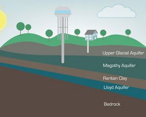
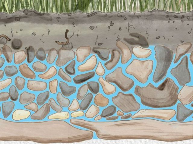
Groundwater is water held underground in the soil or in pores and crevices in rock. An aquifer is a body of porous rock or sediment saturated with groundwater.
There is much truth behind the saying “out of sight, out of mind.” When most people think of freshwater, they envision rivers, wetlands, lakes or reservoirs. But 30 times more freshwater on Earth is stored underground and out of sight. In fact, only some 1% of available freshwater can be seen on the surface, as two thirds of the Earth’s freshwater is frozen in glaciers and ice caps, and nearly one third is groundwater.
Groundwater resources supply nearly half the world’s drinking water—and support the farms that feed us. But that’s not all: Groundwater cools the data centers that keep the Internet running, and drive industries including energy, mining and manufacturing.
Groundwater by the Numbers
-
38%
Groundwater supplies 38% of the drinking water in the United States and almost half of all drinking water worldwide.
-
70%
About 70% of groundwater withdrawn globally—including in the U.S.—is used for agriculture. In some arid countries, 90% of groundwater use is for irrigation.
-
30%
The U.S. Geological Survey estimates that groundwater provides about 30% of the nation’s surface streamflow.
-
17%
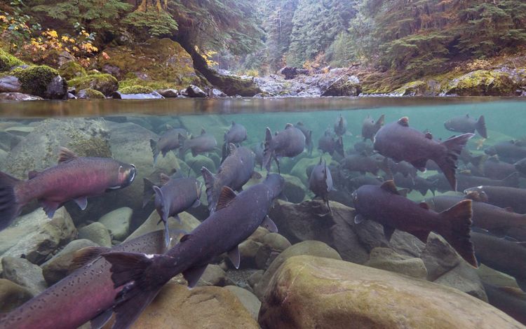
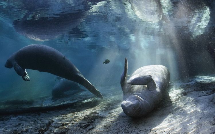
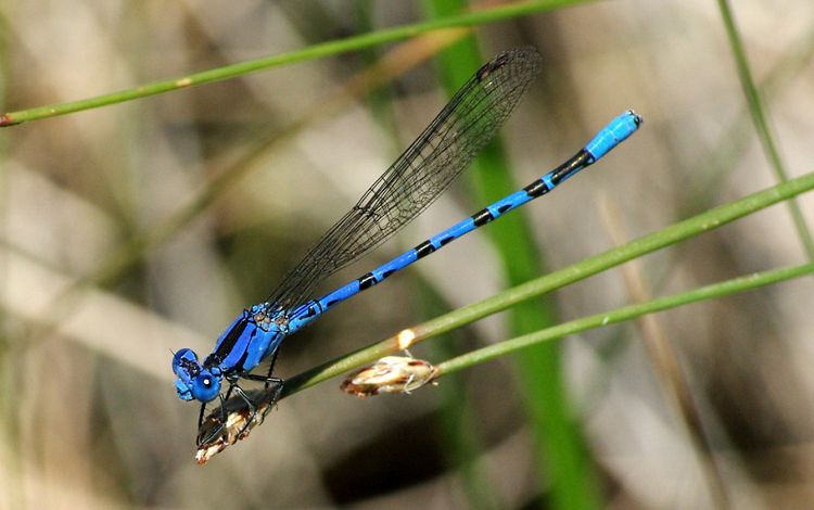
17% of all endangered species in the U.S. rely on groundwater for survival.
Threats to Groundwater
While contamination and pollution impact groundwater, its major stressor is withdrawals from pumped wells, as it’s not easily—if ever—replenished when water from rain, snowmelt, rivers, lakes and wetlands soaks into the ground.
Unlike the concern generated when major reservoirs reach dangerously low levels, many of our aquifers have been quietly overused for decades and aren’t being replenished at rates that can keep up with demand. Groundwater withdrawals in the U.S. have more than tripled over the last five decades, even while precipitation has decreased in many parts of the nation, and similar trends are seen around the world. This overuse presents real threats to the people, crops, industries and habitats and wildlife that depend on groundwater.
It’s clear that the consequences of continued mismanagement of groundwater are profound. Population growth and more frequent and severe droughts due to climate change will continue to increase pressure on this critical, out-of-sight resource.
Groundwater for Biodiversity
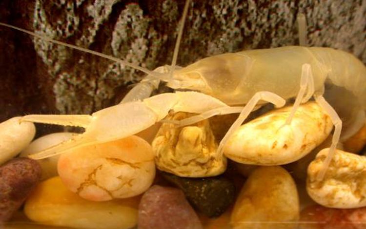
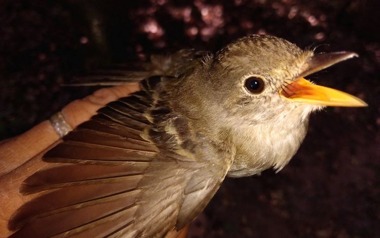
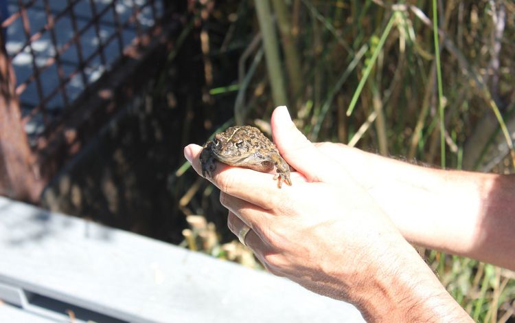
Mapping Groundwater Dependent Ecosystems
A first-of-its-kind map for arid ecosystems around the world.
See the mapSolutions for Groundwater Sustainability
The interactions of groundwater with surface waters we see—like lakes, streams and springs—can be complex and difficult to understand and predict without well-developed science. The Nature Conservancy (TNC) is working with local communities and other local, state, federal and non-governmental organization partners to build the science to forecast future conditions and determine how water supplies—both above and below ground—can best be managed to meet the needs of nature and people.
The first step to managing and protecting groundwater-dependent ecosystems (or GDEs) is knowing where they are, but—in many places—on-the-ground data are lacking. To fill this critical data gap, TNC is preparing a first-of-its-kind global map that shows where groundwater-dependent ecosystems occur in arid regions around the world. This state-of-the-art effort, which uses advanced computing informed by satellite data, will help TNC determine future priorities for groundwater conservation efforts.
Our Groundwater Strategies
TNC’s Strategies to Sustain Groundwater & Dependent Ecosystems
Examples of TNC’s Groundwater Work
Returning Water to Arizona’s San Pedro River
The San Pedro River is one of the last undammed rivers in the Southwest that still flows year-round in many of its reaches. Just north of Mexico, the river flows through the U.S. Bureau of Land Management’s San Pedro Riparian National Conservation Area in Arizona for 43 miles. The cottonwood-shaded corridor along this river provides critical habitat for millions of migrating birds, along with a wide variety of mammals, reptiles and amphibians.
These lush streamside forests, however, depend on the same limited groundwater supplies as communities in the region, as well as large copper mines and irrigated agriculture. From the development of predictive hydrologic models and new groundwater pumping agreements to land conservation deals and the innovative capture of stormwater runoff to recharge groundwater supplies, learn how TNC collaborates to protect the San Pedro and the people, habitats and wildlife it supports.
Water Funds Protect Groundwater in Latin America
In Latin America, TNC collaborated with several partners to create water funds that help protect groundwater resources that provide a substantial portion of the water used in large metropolitan areas. For instance, Funcagua—Guatemala’s Water Fund—includes groundwater mapping and monitoring to help guide conservation actions that protect this critical underground resource, which supplies 60-70% of the water used in one of the nation’s largest metro areas. (Learn more about this water fund—en español.)
Groundwater supplies two-thirds of Mexico City’s water. Here, TNC worked with partners to create Agua Capital—a water fund—that focuses on the use of conservation and nature-based solutions to help maintain and increase water filtration that can recharge vital groundwater. (Learn more about this water fund—en español.)
Learn more (in English) about how these water funds help secure water for people and nature at these places.
Increasing Irrigation Efficiency Can Reduce Global Groundwater Withdrawals
Globally, agricultural use of surface and groundwater accounts for about 70-90% of total freshwater consumption, making it the biggest human-driver of water depletion. On average, however, the efficiency of irrigation around the world is estimated to be around only 20-30%, suggesting strong opportunities to improve efficiency and reduce surface and groundwater withdrawals. From California to India, TNC has worked with partners to study and demonstrate ways in which better irrigation efficiency—achieved through alternative crops, infrastructure improvements, rainwater harvesting, land conservation, nature-based solutions, and other measures—can reduce the amount of water that’s pumped from the ground. Learn more in this report.
Protecting Florida’s Springs
The Florida Springs region has the highest concentration of the largest class of springs in the world (more than 1,000), making it one of the most unique freshwater regions anywhere. The Floridan Aquifer, which underlies approximately 100,000 square miles that extends from portions of South Carolina, Georgia, Mississippi, Alabama and all of Florida, provides drinking water to most cities in the central and northern part of Florida. Learn what TNC is doing to protect this natural treasure.
TNC Land Conservation Helps Sustain One of Texas’ Most Important Water Sources
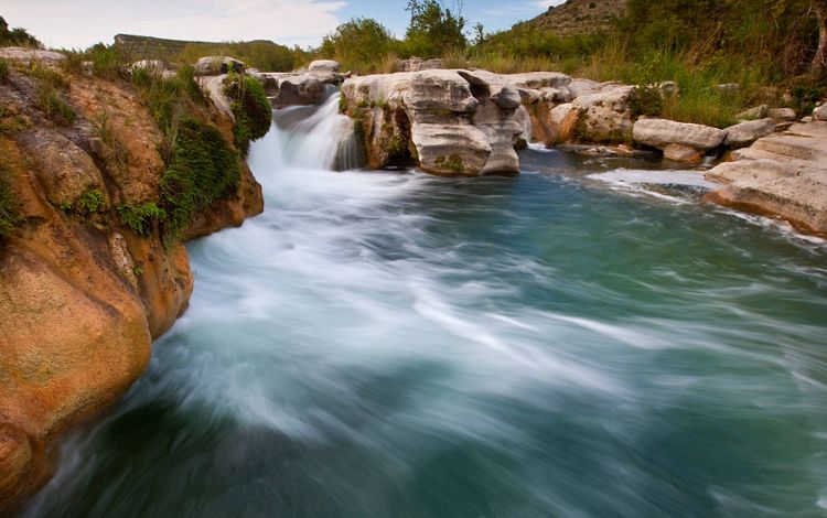
One of the largest, most prolific artesian aquifers in the world, the Edwards Aquifer serves as the primary source of drinking water for nearly two million Texans, including the entire city of San Antonio. Its waters feed springs, rivers and lakes and sustain diverse plant and animal life, including rare and endangered species. The aquifer also supports agricultural, industrial and recreational activities that are important to Texas’ economy. To ensure the landscape above the aquifer isn’t developed in ways that reduce the quality of water that recharges the aquifer, TNC has helped protect more than 160,000 acres of land. Learn more about this and other efforts to ensure the aquifer’s sustainability well into the future.
Safeguarding Groundwater in California
California is home to a diverse range of groundwater dependent ecosystems, including palm oases in the Sonoran Desert, hot springs in the Mojave Desert, seasonal wetlands in the Central Valley, and riparian forests along the Sacramento and San Joaquin rivers. These ecosystems rely on groundwater, especially during California’s dry summers and periods of drought. Learn about TNC’s groundwater work in California.
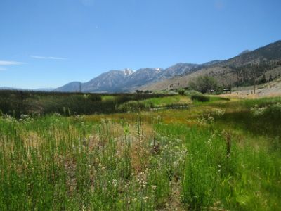
Mapping Groundwater Dependent Ecosystems in Nevada
Nevada is the driest state in the U.S., receiving an average of less than 10 inches of precipitation annually. Because surface waters are so limited, many of Nevada’s native species rely on groundwater-dependent ecosystems. TNC partnered with several agencies to produce a cool story map about these ecosystems that includes stories, photos and more information about TNC’s work. Check it out here.
Global Insights
Check out our latest thinking and real-world solutions to some of the most complex challenges facing people and the planet today.
