Announcing the New Geospatial Annual Report
With our third edition annual report and map book, we focus on how geospatial technology and data are supporting the organization’s 2030 goals.
Media Contacts
-
Zach Ferdaña
Director, Conservation & Geospatial Systems
The Nature Conservancy
Email: zferdana@tnc.org
Get The New Geospatial Annual Report
Learn about how geospatial technology and data support TNC's 2030 goals.
Download Report NowWith ever-growing emphasis, geospatial technology systems are playing a key role in supporting and amplifying The Nature Conservancy’s conservation priorities. The combined fields of Geographic Information Systems or GIS, remote sensing and data science are advancing these priorities as we set ambitious goals for 2030. These goals are grounded in science, supported by geospatial technology and guided by our mission: to conserve the lands and water on which all life depends.
This third edition Geospatial Conservation Annual Report & Map Book highlights:
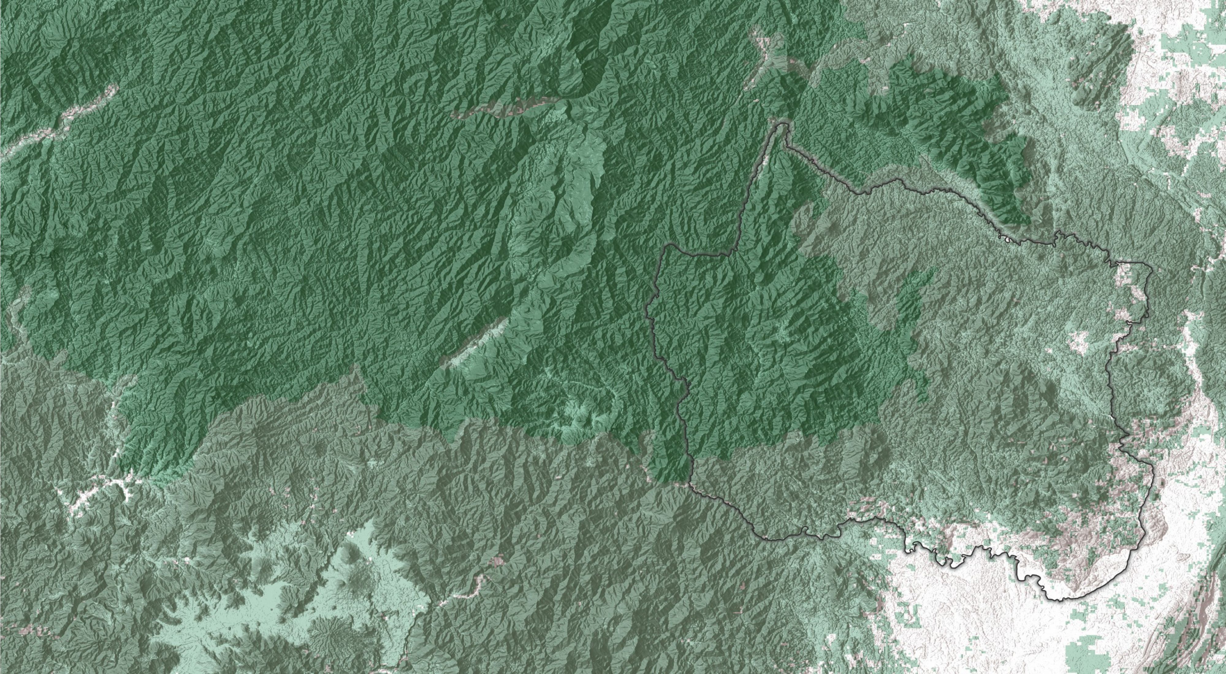
- TNC’s geospatial conservation science in action in four key geographies that are integral to achieving our 2030 goals: the U.S. Appalachians, Kalimantan in Indonesia, the Brazilian Amazon and Kenya
- A first global analysis that summarizes development threats to Indigenous lands from the expansion of renewable energy, oil and gas, mining, commercial agriculture and urbanization, and provides opportunities for conservation actors to respond
- A first ever map spotlight that features new work from one of our agriculture and climate scientists: a global spatial analysis on the warming impact of methane emissions with maps illustrating the successful adoption of our cartographic guidelines
- A look to future work in conservation accounting and geospatial reporting in tracking our goals
- Results from our annual survey that reached over 1,500 staff
Quote: Johanna M. Ward
These spatially explicit conservation stories support the integral role of geospatial technology as we set our sights on accomplishing our 2030 goals for the health of our planet and all people.
We hope you find this third edition insightful in how the organization is leveraging conservation science and geospatial work to inform our conservation actions. See more of our geospatial conservation portfolio in our Geospatial Conservation Atlas.
The Nature Conservancy is a global conservation organization dedicated to conserving the lands and waters on which all life depends. Guided by science, we create innovative, on-the-ground solutions to our world’s toughest challenges so that nature and people can thrive together. We are tackling climate change, conserving lands, waters and oceans at an unprecedented scale, providing food and water sustainably and helping make cities more sustainable. Working in more than 70 countries and territories, we use a collaborative approach that engages local communities, governments, the private sector, and other partners. To learn more, visit nature.org or follow @nature_press on Twitter.


