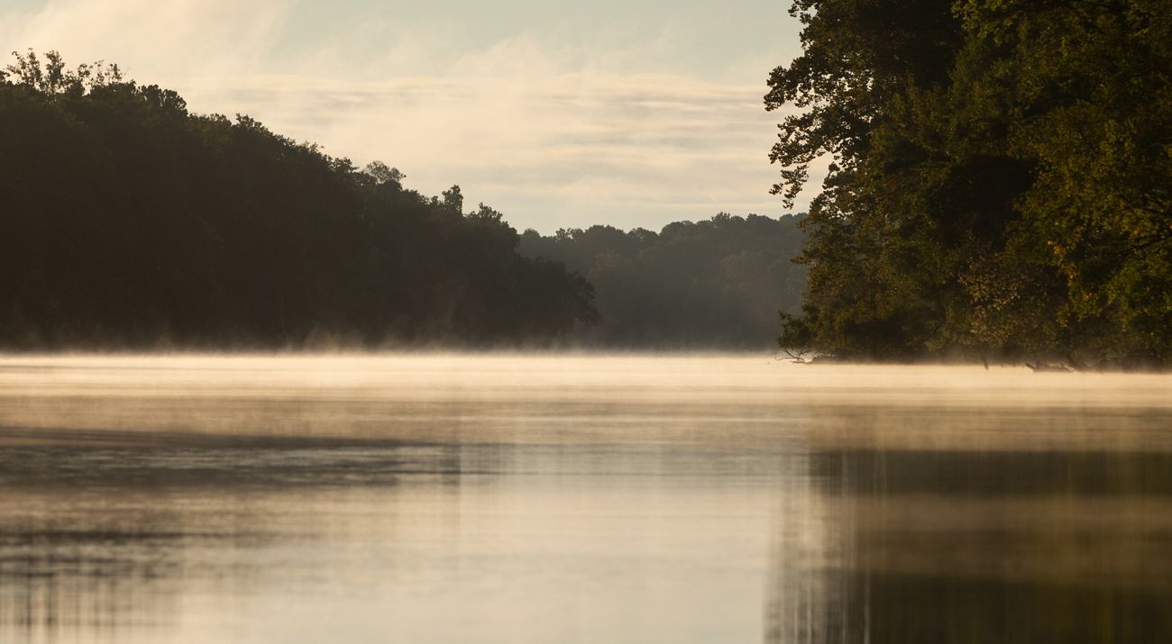
New Cape Fear River Pollution Study Provides a Blueprint for Restoration and Protection
The study uses computer modeling to map water quality across the entire watershed during a variety of conditions.
Media Contacts
-
Debbie Crane
The Nature Conservancy
Phone: 919-619-8613
Email: dcrane@tnc.org
Until now, getting an accurate understanding of water quality in the Cape Fear River Basin, which is larger than the state of New Jersey, has been virtually impossible. But, a new study published in Earth’s Future uses computer modeling to map water quality across the entire watershed during a variety of conditions, from extreme drought to hurricane deluges.
“We found that the highest priority areas for actions to improve water quality are just 16 percent of the basin, often in dense urban areas and regions with intensive agriculture,” explains Lead Author Danica Schaffer-Smith, a Nature Conservancy watershed scientist. “These results give state and local governments, communities and non-profit organizations a place to focus additional sampling and strategies to reduce, or mitigate, water pollution where they will make the most difference.”
The modeling can help guide future work in the basin by The Nature Conservancy and other conservation organizations. “The good news is that there are extensive areas in the basin where land protection can maintain relatively good water quality,” says Schaffer-Smith. “There are also watersheds within the basin that fall in the middle range of water quality risk, which could be good candidates for wetland restoration.”
Schaffer-Smith and colleagues at Arizona State University and North Carolina State University used the Soil and Water Assessment Tool (SWAT), an open-source watershed model developed by the U.S. Department of Agriculture. Building on a previous study of water supply and water demand by the U.S. Geological Survey, the team developed an enhanced watershed model for the Cape Fear River Basin, accounting for existing waterbodies and wetlands, detailed land use, point source discharges such as municipal wastewater treatment plants, nonpoint source discharges or runoff, and daily weather conditions from 1979 to 2019. The model looks at nitrogen, phosphorus, and sediment going into the river—determining where that pollution originates and how it varies depending on weather and the local topography, soil, and land use. Until now, our understanding of water quality in this basin has been biased toward urban areas, where most water sampling occurred.
Schaffer-Smith says that the modeling shows that during very wet conditions, as much as 80 to 99 percent of the sediment and nutrients at Wilmington’s drinking water intake is from nonpoint sources; the reverse is true during droughts. “If you pull out a dry year like 2011, as much as 75 to 85 percent of the pollution is coming from point sources.”
TNC is using the model to identify the best places where protection and restoration could help reduce pollution, absorb or slow flooding during storms, and enhance water supplies during droughts. Schaffer-Smith previously led a study identifying the areas that repeatedly flooded in recent hurricanes; these represent some of the candidate restoration sites TNC is exploring with the model. The model can also be used to prioritize land for conservation. “Our hope is that this work can increase the pace and scale of conservation and restoration in the basin and help use taxpayer dollars wisely to get the best projects on the ground,” says Schaffer-Smith. The study and results are freely available to the public.
Article: Danica Schaffer-Smith, Julie E. DeMeester, Daoqin Tong, Soe W. Myint, Dominic A. Libera & Rebecca L. Muenich. ‘Landscape Pollution Source Dynamics Highlight Priority Locations for Basin-Scale Interventions to Protect Water Quality Under Hydroclimatic Variability.’ Earth’s Future
The Nature Conservancy is a global conservation organization dedicated to conserving the lands and waters on which all life depends. Guided by science, we create innovative, on-the-ground solutions to our world’s toughest challenges so that nature and people can thrive together. We are tackling climate change, conserving lands, waters and oceans at an unprecedented scale, providing food and water sustainably and helping make cities more resilient. The Nature Conservancy is working to make a lasting difference around the world in 81 countries and territories (40 by direct conservation impact and 41 through partners) through a collaborative approach that engages local communities, governments, the private sector, and other partners. To learn more, visit nature.org or follow @nature_press on X.
