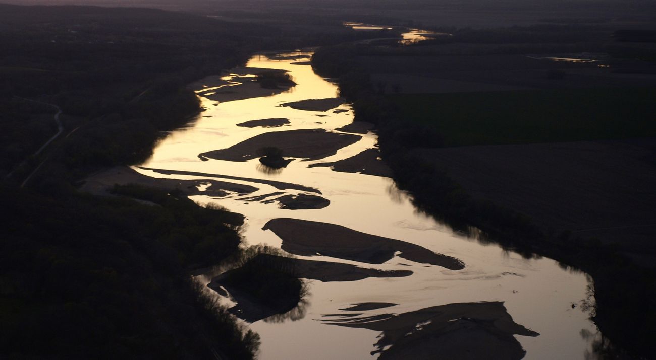
The Kansas River provides drinking water for more than 800,000 people.
The Kansas River, known locally as The Kaw flows 173 miles from Junction City to Kansas City. It is one of the longest prairie streams in the world and it provides for hundreds of thousands of Kansans who drink its water, harness its power, dredge its sands, float its currents and harvest its water for fields. But for decades, people have also controlled how the Kansas river flows.
After the devastating Great Flood of 1951, the Kansas River was transformed with a network of levees, dams and reservoirs to prevent future natural disasters. The management plan at that time focused only on the human needs for the river and not the health of the river itself. That plan was never updated.
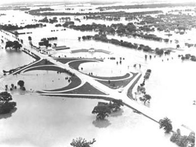
Now, 70 years later, the way reservoirs are managed and water is released from dams along the Kansas River is being revisited. The Kaw was added to the Sustainable Rivers Program, a nation-wide partnership between The Nature Conservancy and the U.S. Army Corps of Engineers.
“We first had to determine how species in the Kansas River rely on the natural flows of the river, and then how those flows have been disrupted by dams,” says Heidi Mehl, freshwater director for The Nature Conservancy Great Plains. “We reviewed all the scientific literature from before the dams were built to understand how conditions in the river would vary. We could then show how the river would have flowed after a wet year or a drought, when it would be dry and how these changing conditions affected the health of the river ecosystem.”
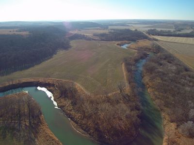
Variability is key to restoring a more natural flow to the Kansas River, and it impacts every aspect of river health from fish and insect life cycles to sedimentation and water quality. In 2020, the project team—which includes representatives from state and federal agencies along with other non-profit organizations—reviewed what changes to dam and reservoir operations could be made while still meeting all the demands of the communities that rely on the river. The team’s formal recommendations to establish environmental flows must go through many layers of review. Some of the recommendations are simple: a mid-summer pulse of water to help specific fish species. Others are more complicated and will take the cooperation of a diverse group of stakeholders to implement.
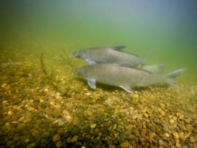
The first of these recommendations was put into action in May and June 2024. A large amount of water was discharged from the Tuttle Creek Lake reservoir into the Kansas River to mimic the high water levels and fast currents that would naturally occur after spring rains. That provided the cue for fish like the blue sucker that it was time to get moving and spawn.
"This process won’t happen overnight,” explains Mehl. “We have to reconcile a perfect world scenario with the realities of what we all need the river to provide for us. But what we can do is find a scientifically defensible plan to improve the river without harming commercial interests.”
Partners
The Sustainable Rivers Program is a nationwide partnership between The Nature Conservancy and the U.S. Army Corps of Engineers to find more sustainable ways to manage river infrastructure. With a focus on collaboration and maximising benefits for people and nature, the Kansas River project has many diverse partners, including:
Bowersock Mill & Power Company
Friends of the Kaw
Kansas Alliance for Wetlands and STreams
Kansas Biological Survey
Kansas Department of Agriculture
Kansas Department of Health and Environment
Kansas Department of Wildlife, Parks and Tourism
Kansas Forest Service
Kansas Geological Survey
Kansas River Regional Advisory Committee
Kansas State University
Kansas Water Authority
U.S. Fish and Wildlife Serivce
U.S. Geological Survey
WaterONE
Make a Difference for Kansas Freshwater
The mission of The Nature Conservancy is to conserve the lands and waters on which all life depends. For more than 30 years, we’ve worked in Kansas to do just that. We've permanently protected over 160,000 acres across the state, including six preserves that are open to the public.
Find More Places We Protect
The Nature Conservancy owns nearly 1,500 preserves covering more than 2.5 million acres across all 50 states. These lands protect wildlife and natural systems, serve as living laboratories for innovative science and connect people to the natural world.
