Welcome to the Two-Minute Takeaway, a quick explanation of scientific terms and concepts we use regularly in conservation.
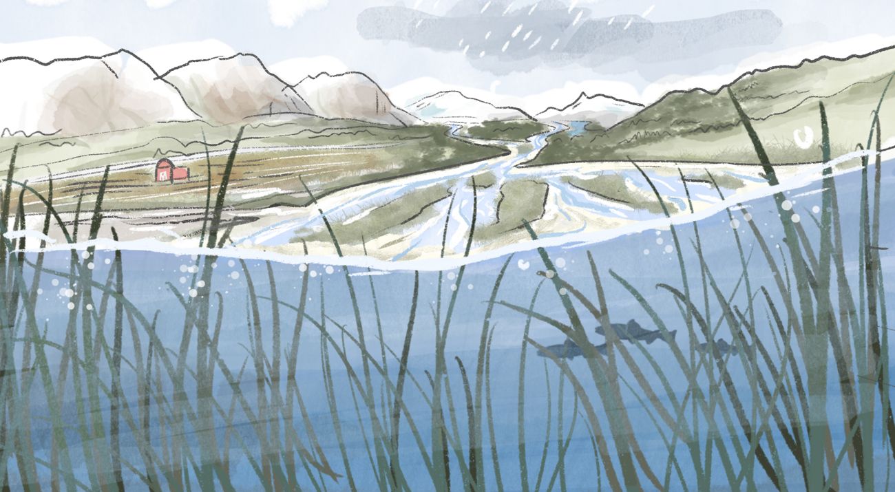
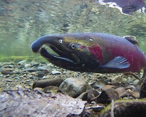
You may not think about floodplains all that much. But they are all around us, quietly at work, providing rich soil for our farms, habitat for our salmon and beautiful backdrops for our lives.
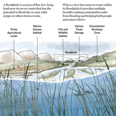
Floodplains are made by a river meandering as it travels downstream. When this happens, it leaves behind silt and other deposits. These gradually build up to create the floor of the plain—a rich, fertile habitat and prime agricultural lands.
In the past we tried to “control” rivers so we could “use” the floodplain—straightening unruly rivers and building levees to keep the water in its place. We built whole cities where rivers once meandered. Now, salmon runs are disappearing and people live in the path of dangerous floodwaters.
Floodplain management needs a re-think. Our challenge is to modernize our approach so floodplains can sustain us—all of us—as our climate changes and population swells.
Floodplains by Design
We Can’t Save Nature Without You
Sign up to receive monthly conservation news and updates from Washington. Get a preview of Washington's Nature News email.
