Drones Take Flight for Conservation
See how drones are emerging as a valuable tool in modern conservation efforts.
Drones are changing the way we care for the land. Once seen primarily as tools for recreation, Unmanned Aerial Vehicles (UAVs) are now at the forefront of ecological restoration, offering conservationists new ways to see, understand and manage the natural world.
“Using technology in conservation work helps our teams make real progress toward our landscape-scale goals,” says Clint Harris, Manager of Resilient Forests. “Given our limited capacity, it’s important to lean into tools that make fire operations safer and more efficient.”
From mapping landscapes and monitoring wildlife to tracking invasive species and assessing habitat health, drones provide a bird’s-eye view that was once costly or impossible to achieve. But perhaps their most transformative role is in the realm of prescribed fire.
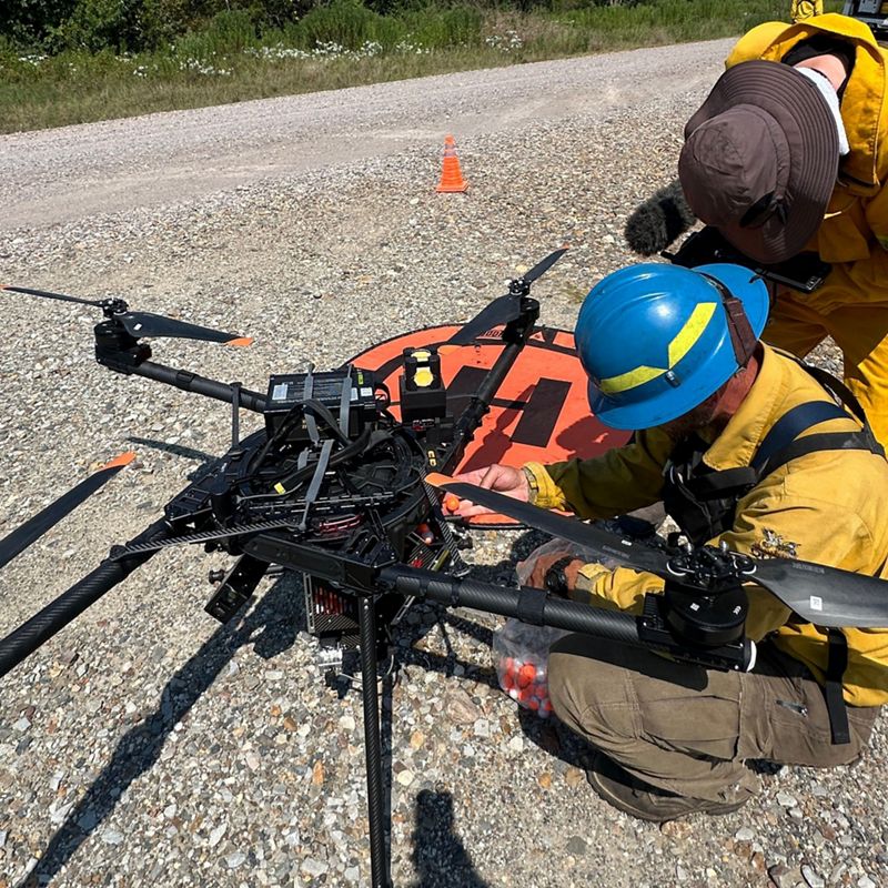
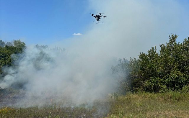
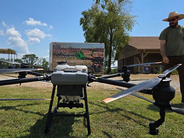
Prescribed burns are essential for maintaining biodiversity, reducing wildfire risk and restoring fire-adapted ecosystems. Yet traditional fire operations can be dangerous and labor-intensive. Drones offer a safer, more precise alternative—especially in rugged terrain or sensitive habitats. With aerial ignition systems like IGNIS, drones can drop ignition spheres from above, allowing fire crews to start burns remotely and monitor them in real time.


What is a TREX?
A TREX, or Training Exchange, is a collaborative event designed to build capacity in prescribed fire. TREX events bring together professionals from across disciplines to learn, practice and innovate. The Drone TREX is a specialized version that focuses on integrating drones into fire operations and conservation work.
Inside the Drone TREX: A Weeklong Deep Dive
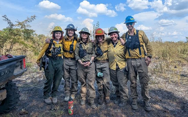
To build skills and capacity around drone use in fire and land management, TNC Arkansas hosted a specialized Drone TREX (Training Exchange) in August 2025 at the Grandview Prairie Conservation Education Center in Columbus, Arkansas. This was the first event of its kind for TNC, marking a major step forward in integrating drone technology into conservation and fire management practices.
The event brought together 8 partner organizations and 29 students from all across the country. Over the course of a week, participants immersed themselves in drone operations, fire management and collaboration.
Drone TREX by the Numbers
-
253
acres burned
-
19
fire missions
-
31
practice flights
-
29
students
-
8
partners
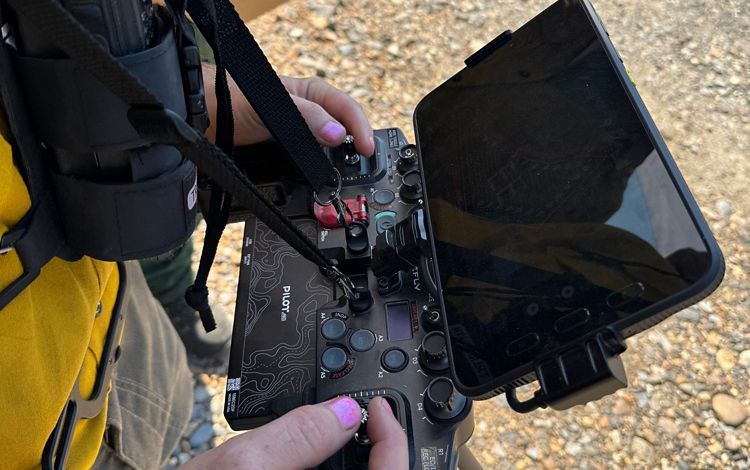
The week began with FAA Part 107 Remote Pilot Test Prep, ensuring participants understood the legal and safety requirements for flying drones in conservation settings. From there, the group moved into hands-on mapping exercises, followed by aerial ignition training with the IGNIS system. Additional sessions explored emerging drone applications, including herbicide drones for invasive species management, multispectral imaging for vegetation analysis and LiDAR for high-resolution terrain mapping.
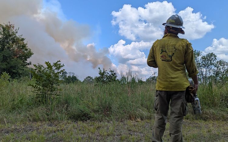
By midweek, the team was ready for live fire operations. Under the guidance of experienced fire managers, participants used drones to ignite prescribed burns, monitor fire behavior and collect post-burn imagery. In total, they completed 19 fire missions, burning 253 acres and deploying 1,766 aerial ignition spheres.
Quote: Stephen Wasp
These interagency TREXs are super important. They're a good reminder that we’re all putting down fire and fire really doesn’t know the boundaries that we set up. So we need to evolve to meet that reality and not have boundaries between our organizations.
The Drone TREX wasn’t just about technology. It was about teamwork, learning and building a shared vision for the future of conservation. As drones become more integrated into land management, events like this ensure that practitioners are ready to use them safely, effectively and collaboratively.
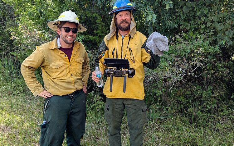
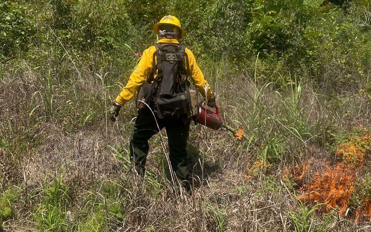
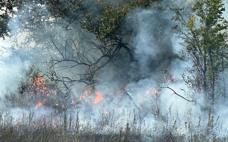
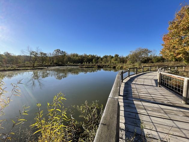
Explore the Drone TREX in Photos
Need more nature news?
Sign up for our monthly e-newsletter and get more of the news you want.

