Hidden Gems
Outdoorsman Hal Herring takes a closer look at three tucked-away wild places that were protected by The Nature Conservancy.
March/April 2013
Driving east on I-84 from Boise, past the fields filled fencerow to fencerow with irrigated corn, wheat, beets and potatoes, past the large-scale hog and dairy cattle operations, a nature-oriented traveler might suspect that there’s not much of interest in Idaho’s Snake River plain.
The traveler would be wrong.
Look north, beyond the billiard-table plain, and you see a jumble of mountains, snow clad and rugged and wild. That’s the Lost River Range, the birthplace of the Big Lost River, Little Lost River and other major waters. Those rivers emerge from the mountains onto the volcanic stones of the plain and then immediately disappear.
It is almost too much to imagine. Far beneath the bellowing herds of Holsteins and armies of hogs, cold rivers of crystalline mountain water seep and tumble in Stygian darkness, moving more than 100 miles southwest along faults and fissures in a slow fall—all underground.
And then they reappear, along the walls of the deep canyon cut into the plain by the Snake River. This dramatic reappearance is known as the Thousand Springs complex, and there once were at least a thousand of these cascades flowing into the Snake. As with the rest of the plain, most of the springs have been harnessed for human endeavors—but not all. The Nature Conservancy has worked here for more than two decades to preserve the last few free-running springs.
To find one of them, I join Matt Miller, a writer for the Conservancy and a longtime Boise resident. Twenty miles northwest of the city of Twin Falls, Matt and I park among austere wheat fields at the weathered kiosk of the Earl M. Hardy Box Canyon Springs Nature Reserve.
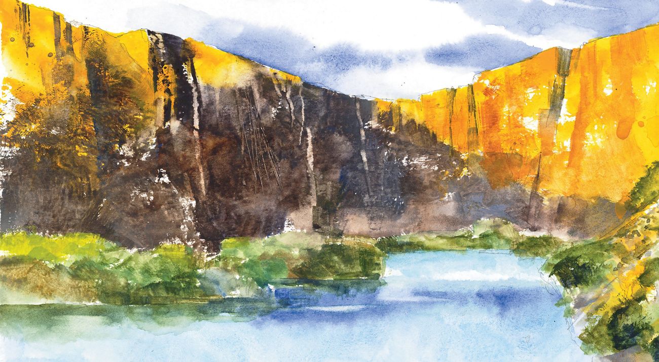
The canyon is invisible until you reach its edge, a sudden promontory where the plain collapses and cliffs of mahogany-brown columnar basalt drop away to a creek bottom-lit with new spring greenery. A pour of turquoise water—about 180,000 gallons per minute, say the experts—spills from the lower cliffs to our right, feeding an aquamarine river that pauses in a wide pool 50 feet across and then races away toward the Snake River.
Descending on an easy footpath, we come to the canyon floor, where a jumble of talus peters out into wide meadows and tangled birch and serviceberry thickets. Above us, the fortress of basalt towers, the nesting place of golden eagles. Along the ledges, marmots stand to watch us pass, giving their distinctive chirping alarm call before shambling calmly away to the safety of a million cracks and crevices. Trout rise in the eddies of the creek.
Aquaculture operations blossomed here throughout the second half of the 20th century, sustained by the bountiful spring water. By the early 1980s, the number of free-flowing springs had dwindled to a handful. Even then there were plans to capture and use what remained, including most of the flow at Box Canyon.
In 1986, the then-fledgling Conservancy program in Idaho took action. It purchased a 385-acre property that included an awe-inspiring set of spring-fed waterfalls and Ritter Island, an old dairy operation in the middle of the river. The island is now a state park and open for picnicking and birding. When nearby Box Canyon came up for sale in 1999, the Conservancy bought the property for $5 million and managed it until the state was ready to add it to the park system. Today, Box Canyon, Malad Canyon, Billingsley Creek and Ritter Island together protect almost two miles of Snake River frontage and constitute one of Idaho’s most ecologically important state parks. People have room to roam, and the roaming is very good.
Yet the parks remain relatively undiscovered. As Matt and I unlock the car after our hike, a lone visitor stands at the kiosk with a baffled look. His small pickup shows the effects of a lot of miles, and his dogs have already leapt out. The man explains that he works at the local whey plant and is looking for a place to walk after a long day of working inside.
“What’s down the trail there?” he asks.
“You really have to see it to believe it,” I answer.

THIS EDGE OF THE WORLD
Block Island is a 9.7-square-mile chunk of glacial till and granite boulders overlain with pockets of towns and farms and summer homes about 12 miles off the Rhode Island coast. It lies within four hours of an entirely different planet: the megalopolis stretching from Boston to New York City, a landscape hive of 20 million people.
In this modern age of coastal investment properties and gated vacation communities, the preservation of open space and public access on the scale found on Block Island seems almost impossible. Unlike visitors to the more famous Nantucket and Martha’s Vineyard, travelers on Block Island can wander every foot of every beach. Twenty-eight miles of trails traverse every landscape on the island, from farmland to ocean bluffs to thickets and ponds. This on a bit of land only seven miles long and three miles wide.
Such access comes thanks to an island tradition called walking cross lots, a kind of neighborly agreement that lets walkers travel on private property with the understanding that they’ll leave nothing and take nothing beyond pleasure in their freedom. When the world—in the form of vacationers, yachtsmen and home builders—began to discover Block Island in the 1970s, descendants of the original settlers took it upon themselves to protect their open space. Islanders like Capt. John R. Lewis, who would form the Block Island Conservancy, teamed up with the state Department of Environmental Management, U.S. Fish and Wildlife Service and the Conservancy to purchase property—ensuring the land would remain essentially undeveloped.
Today, nearly half of Block Island has been preserved through these ongoing efforts, and the island still includes ample farmland. The conservation partners on the island are steadily restoring habitat to keep native species abundant—including the endangered black-and-orange American burying beetle, which has, for reasons not quite clear, disappeared almost entirely from its former range across eastern North America. Except for here.
If there is a trail on the East Coast that can rival Clayhead for grandeur of scenery, I have not walked it. I arrive at the trail on a bright but cold April morning, right on time for the mass flowering of daffodils planted over decades by a local family. The trees on the bluff line are sculpted and bonsaied by a relentless wind. I hike among them, on an easy path overlooking the tumult of the ocean 120 feet below. Schools of striped bass sweep through clear green waters behind the thundering surf. A strange leonine head cuts through the sea—a seal, bound for who knows where. Beyond it, thousands of miles of ocean yawn.
To descend with the trail to the beach is to walk on cobbles of pink granite, snowy quartzite and lumps of the namesake gray clays. Hundreds of the black skate egg cases, known as mermaid’s purses, surround a quahog shell on the sand.
Geologists say the bluffs above the beach are eroding fast under the hammer and cold, blue chisel of the ocean. In 10,000 more years, Block Island will return to the sea entirely. In the here and now, however, we share the place with the thousands of migrating birds that stop to fuel up for their dangerous journeys north and south. We watch the seals, walk the paths and marvel: Sometimes, people really do work together to save the best of what they have, and pass it on to all of us.

GRAND CANYON OF THE SOUTH
Almost completely hidden within one of the last great forestlands of the southern Cumberland Mountains lies the canyon known as the Walls of Jericho. Swathed in shadowed woods on the border of Tennessee and Alabama, it cradles the headwaters of the Paint Rock River, whose watershed is one of North America’s most biologically diverse.
The river is home to 50 species of mussels, experts say, including 10 that are threatened or endangered and one that is found nowhere else. Its pristine, cave-born waters are among the final planetary holdouts for odd little species of fish like the snail darter, the blotchside logperch and the palezone shiner. All told, and as far as biologists have determined, the Paint Rock holds a mind-boggling 150 species of native fish, mussels and snails.
All of this was unknown to me when I first reached the deep canyon back in 1976, when I was 15 years old. I grew up in a place called Sharp’s Cove, northeast of Huntsville, Alabama, and directly west of the Paint Rock Valley. Mine was a life lived outside, and there was no place better to live it than among those low, flat-topped foothills of the Cumberland Mountains, with their deep hollers, hidden caves and old moonshiners’ paths. It’s a country of legends, spirits and ghost stories, and no part of it was more legendary than the Walls of Jericho.
My first trip there was up an old road that followed Hurricane Creek, past where the road devolved to a trail and then to 8 miles of continuous axle-breaking rocks and mud holes. Finally, we parked our trucks and walked up-stream to the mouth of the Walls and were struck silent for the first time all day by the cathedral-like hush of the place.
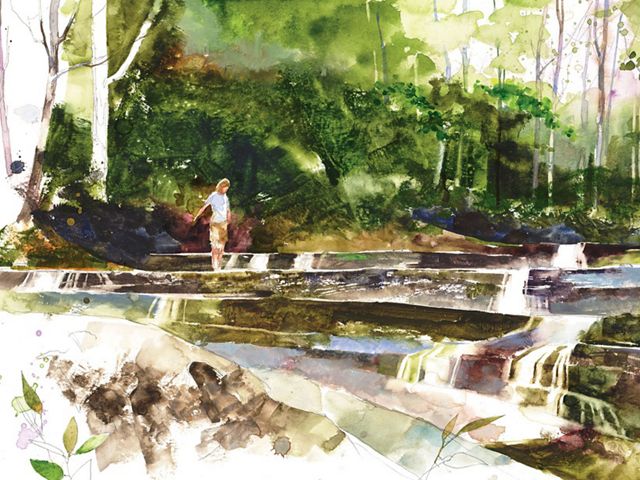
We threaded the narrow paths at the bottom of the canyon, the pale stone walls towering 200 feet above us, and we waded and swam in the big holes of the creek, the clear water such a change from the muddy lowland rivers back home. Schools of strange minnows abounded, and little rock bass with ruby eyes pursued them in the shallows. The yellow poplar trees that grew between the walls of the canyon—some of them 3 feet and more in diameter—soared straight up for the sun, limbless like the shafts of giant arrows.
I would visit a couple more times over the next few years, to fish and explore. Then the road was closed and all access ended. By the early 1990s, Mead Paper Company had acquired the Walls and the tens of thousands of acres around the canyon.
The following decade was a rollercoaster ride for America’s paper companies, and the land went through a series of rapid changes in ownership—changes that The Nature Conservancy watched closely, says Gabby Lynch, who manages the Conservancy’s land-protection program in Tennessee.
With each change in ownership at the Walls of Jericho, danger loomed: Owners tended to clear-cut or subdivide their new holdings, seeking to reap profit from their investments. The timber around the Walls was an asset, ripe for harvest. But luck prevailed, and in 2003 the land was acquired by Coastal Lumber Company, a business the Conservancy had worked with before. “We knew who to talk with there,” says Lynch. The Conservancy negotiated for the Walls and eventually got it: about 12,000 acres on the Alabama side of the state line and 9,000 on the Tennessee side.
The Conservancy’s hope was to turn the land over to the states for public recreation—a plan to which Alabama and Tennessee readily agreed. Today you can access the Walls from either Alabama’s Skyline Wildlife Management Area or Tennessee’s Bear Mountain Hollow Wildlife Management Area.
Nowadays, the preferred way into the Walls is from a parking lot off Highway 16 on the Tennessee side of the line. The trail down is well made and beautifully switchbacked across the long slope of the mountains. It’s still a bit hard on the knees on the way down and a thigh burner on the way back out. Despite the effort—or perhaps because of it—it remains one of the best day hikes in the Southeast.
