Working cooperatively with private landowners, businesses, public agencies and other partners to address water quality in Ozark streams.
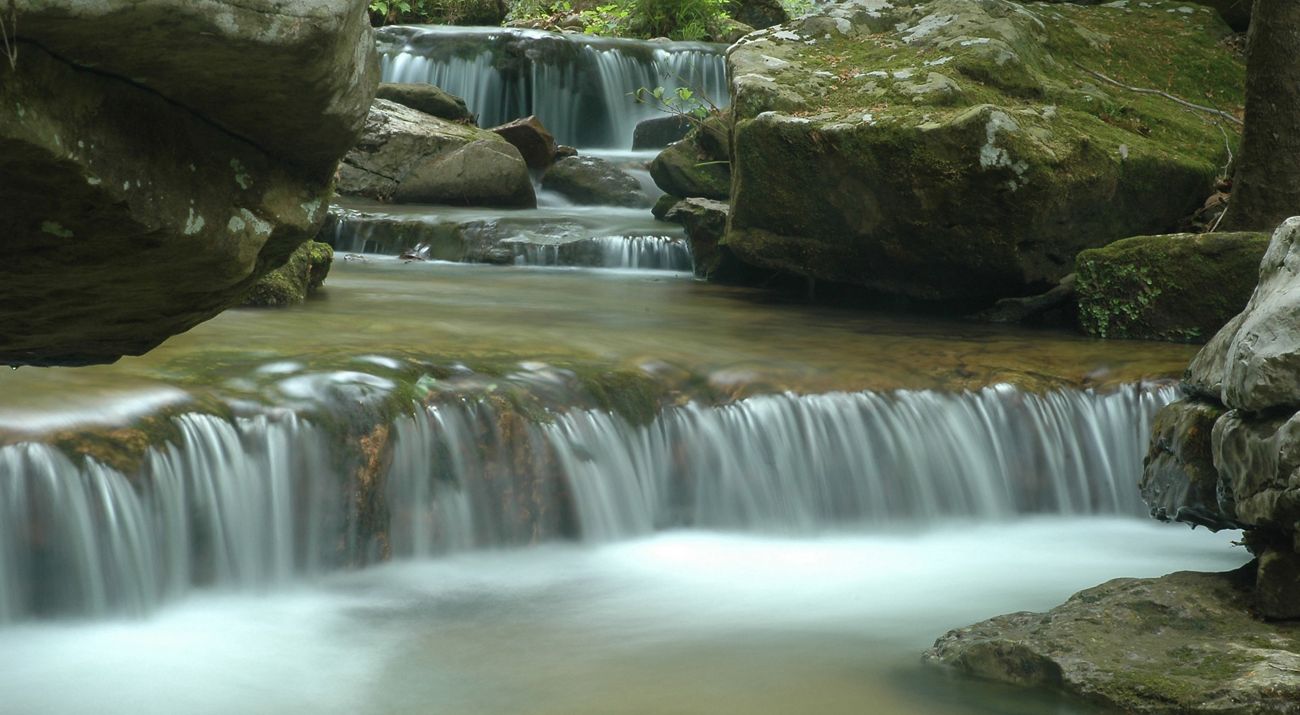
It would be hard to imagine Arkansas’ Ozark Highlands without beautiful, clear streams running through the forested mountains and valleys. Streams here are home to more than 100 rare animals, among them fish, crayfish and mussels, some found nowhere else on Earth. People flock to Ozark rivers for fishing, canoeing and swimming, fueling the state’s fourth-largest industry: tourism. And they provide drinking water for hundreds of communities.
Threats
Poorly managed land threatens not only the rich array of aquatic wildlife that lives in Ozark streams, but also tourism and drinking water. One of the biggest threats is too much sediment clouding the streams. Excess sediment clogs fish gills, makes it harder for sight-feeding fish like smallmouth bass to find food and smothers gravel beds where important food chain species like insects and smaller fish thrive. Sedimentation can also make rivers shallower, muddier and less conducive to recreation.
One of the best ways to keep sediment out of streams is to maintain plenty of trees and vegetation in the riparian zone – the area along stream banks. When farm fields, pastures or timberlands are cleared all the way to the stream’s edge, there are no roots to keep stream banks stable and nothing to stop topsoil from washing away. Cattle with direct access to streams can destroy stream bank vegetation as well. Runoff from unpaved roads is also a significant source of sediment.
What We've Done
Building on more than 30 years of work to identify and protect the state’s healthiest and most diverse rivers, the Conservancy launched in 2003 its Ozark Rivers Legacy Program, an effort that brings together state, federal and private partners to address declining water quality in Ozark streams. Throughout the Ozarks, the Conservancy has worked with landowners to stabilize stream banks and finance alternative watering methods to keep cattle out of streams. The Conservancy has used global positioning systems and mapping tools to inventory more than a thousand miles of unpaved roads in the upper Little Red River, Strawberry, Mulberry and Kings river watersheds as the first step in identifying and fixing problematic road segments such as low-water crossings, culverts and ditches. The Conservancy and its partners have also hosted workshops for county officials and road crews, demonstrating how improved road construction and maintenance techniques can keep excess sediment out of streams.
Ongoing Conservation Actions
In the upper Little Red River watershed, the U.S. Fish and Wildlife Service, the Natural Resources Conservation Service, the Arkansas Game and Fish Commission and the Conservancy created in 2007 a Safe Harbor Agreement to protect the endangered speckled pocketbook mussel and a similar agreement to protect the yellowcheek darter, a fish that is a candidate for listing under the Endangered Species Act. Both species are found nowhere else on Earth. Federal grants have made it possible for the Conservancy to offer benefits to landowners who enroll in the agreements. Within the 525,000 acres covered under both programs, the partners are helping participating landowners with stream bank stabilization projects and keeping cattle out of streams. With the Strawberry, Mulberry and Kings river inventories completed, the Conservancy is now concentrating on mapping and improving unpaved roads and hosting county road maintenance workshops in the upper Little Red River watershed.
