
Sacramento–San Joaquin Delta
California

- Phone: 415-777-0487
-
Follow


The largest estuary on the west coast of the Americas.
Where two rivers converge, so too do the future of California’s freshwater supply and the fate of 750 distinct species of plants and animals that call the Sacramento–San Joaquin Delta home. Part of an extensive system of waterways originating in the Sierra Nevada and Cascade ranges, the Sacramento and San Joaquin rivers meet just southwest of the state capitol to form the largest estuary on the west coast of the Americas.
Supporting Life in California
Not only does the Sacramento–San Joaquin Delta supply clean drinking water to 25 million Californians and sustain farmlands that help feed our country, it also supports species found nowhere else on Earth and is a vital stop for hundreds of thousands of migratory birds traveling the Pacific Flyway.


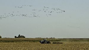

Taking Flight: Farmer Doug Thomas holds rice at a storage facility near Olivehurst, California. © Drew Kelly
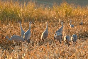
Sandhill cranes: A group of sandhill cranes gather in the Sacramento-San Joaquin Delta © John Game/Creative Commons
San Joaquin Valley: Wetlands in the San Joaquin Valley of California. © Lara Weatherly
Staten Island: Hundreds of species of birds, including waterfowl and sandhill cranes, rely on Staten Island’s rich farmland. © Erika Nortemann/The Nature Conservancy
Cosumnes River : View of riparian habitat along the Cosumnes River north of Rancho Murrietta, CA. © Jeff Hart
Today, water scarcity, climate change, pollution, invasive species and the destruction of most of the area’s historic wetland and river habitat have put one of the world’s largest water-delivery systems at high risk. The Nature Conservancy is working to support communities and wildlife in the Delta by:
- Partnering with local landowners to support migratory birds while continuing to grow crops that feed the nation
- Creating living laboratories at our preserves, where we protect nature and innovate new conservation solutions
- Advancing nature-based solutions to mitigate the impacts of climate change and land subsidence and reduce carbon emissions

From Tule Stands to Island Farmlands
The Delta’s landscape began forming about 10,000 years ago, at the end of the last Ice Age, when rising sea levels flooded the Central Valley. Wetland plants trapped sediment and formed deep peat soils, creating fertile islands and a vast freshwater marsh.
The Delta has been stewarded by Indigenous Nations since time immemorial; practices like cultural and prescribed fire, sustainable fishing, harvesting and hunting all inform the living relationships of the Delta and the Indigenous Nations who call it home.
Europeans arrived in the 18th century and Indigenous Nations were forcefully and often violently removed from the Delta. Over time, the vast tule stands that once dominated the landscapes were burned or plowed, and almost all of the Delta’s wetlands were drained for farming. When wetland soils are dried out, they oxidize and slowly break down in a process that releases significant amounts of greenhouse gases into the atmosphere. Today, the Delta is at risk of transforming from a carbon sink into a carbon source, contributing significant emissions that accelerate climate change.
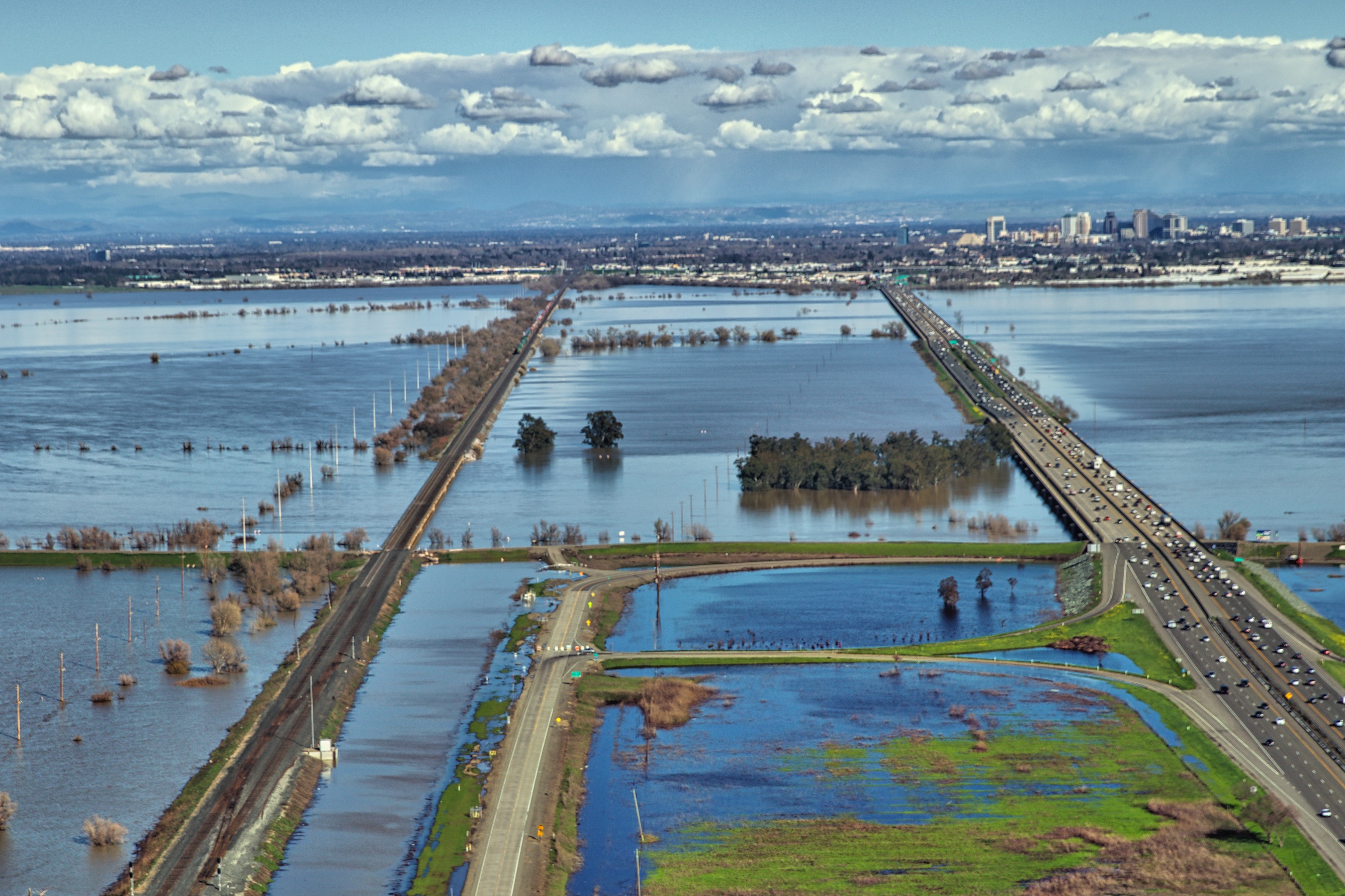
This same process also caused many islands to sink (some up to 25 feet below sea level) over the last century, and subsidence continues today. To continue farming in the Delta, residents built an intricate system of levees. Today, about 57 reclaimed islands are cradled by more than 1,100 miles of levees, a testament to both human ingenuity and to the fragility of this engineered landscape.
As we look to the future of the Delta, TNC is working to advance an approach to managing lands that considers the many critical needs of the region: to grow food, secure freshwater, care for nature and create climate solutions. From wildlife-friendly farming to restoring wetlands to reducing carbon emissions, the collaborations and innovations happening here are developing new ways to support people and nature in this vitally important part of California.
Protecting the Pacific Flyway
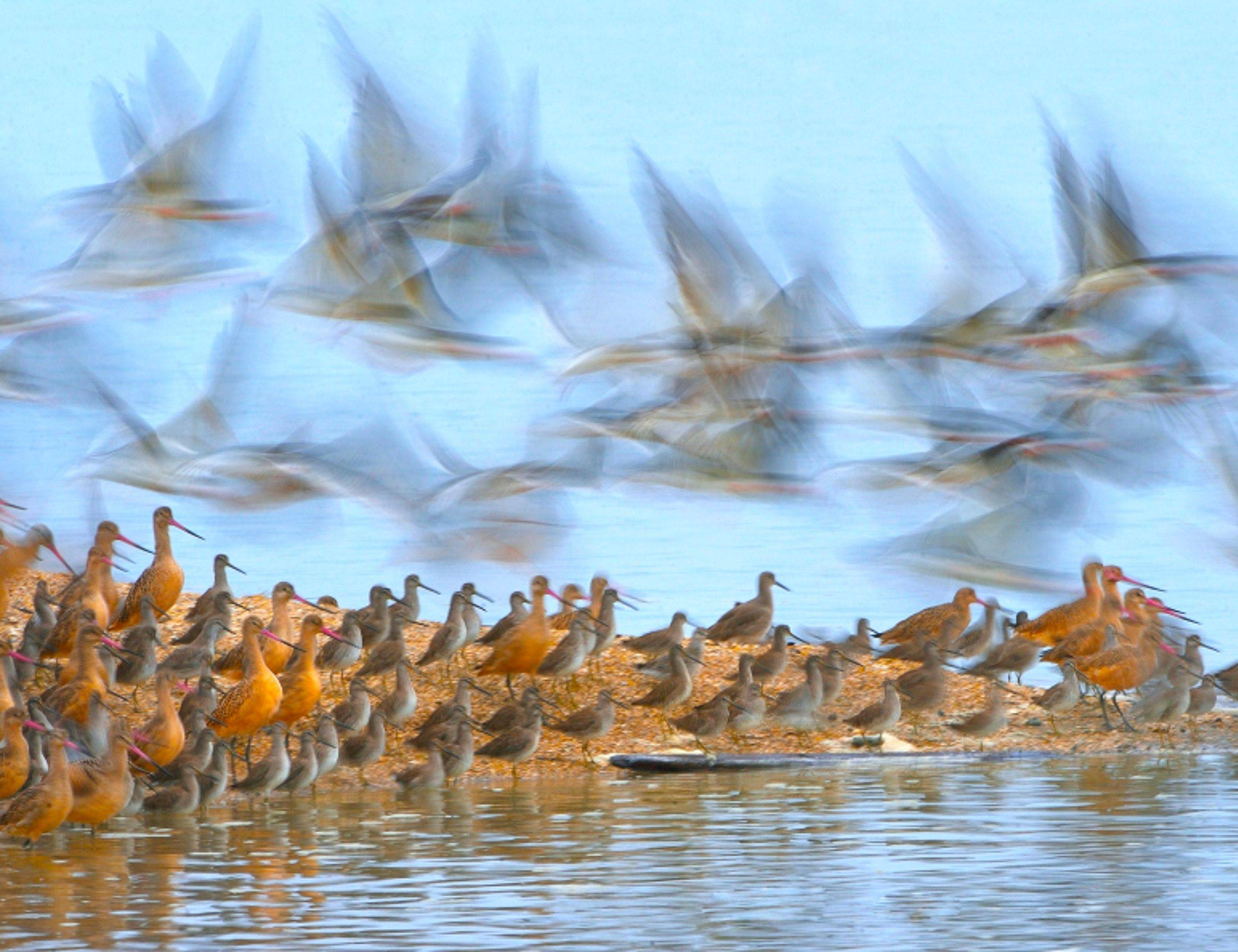
Every year, millions of birds take to the skies to travel the Pacific Flyway, an invisible path that stretches from the Arctic tundra to the tip of South America. California’s Central Valley sits in the heart of this great migration corridor. Historically, the valley was home to four million acres of wetlands that provided essential habitat so migrating birds could eat, rest and recover. Today, an estimated 95% of those wetlands have disappeared, and many of the birds that once depended on them are in trouble.


BirdReturns may be the difference between me being in the black or the red this year…this is a win-win transaction for everybody.

Fortunately, conservation organizations have partnered with Central Valley growers and wetlands managers to start “farming for the flyway” through BirdReturns. Implemented by the Migratory Bird Conservation Partnership, which consists of The Nature Conservancy, Audubon California and Point Blue Conservation Science, with critical support from the CA Department of Fish & Wildlife, this innovative program pays local farmers and wetland managers to provide short-term “pop-up” wetlands when and where birds need it most. To date, BirdReturns has partnered with more than 200 growers and wetland managers in the Central Valley to create more than 200,000 acres of temporary wetlands for migratory birds.
Living Laboratories at Work
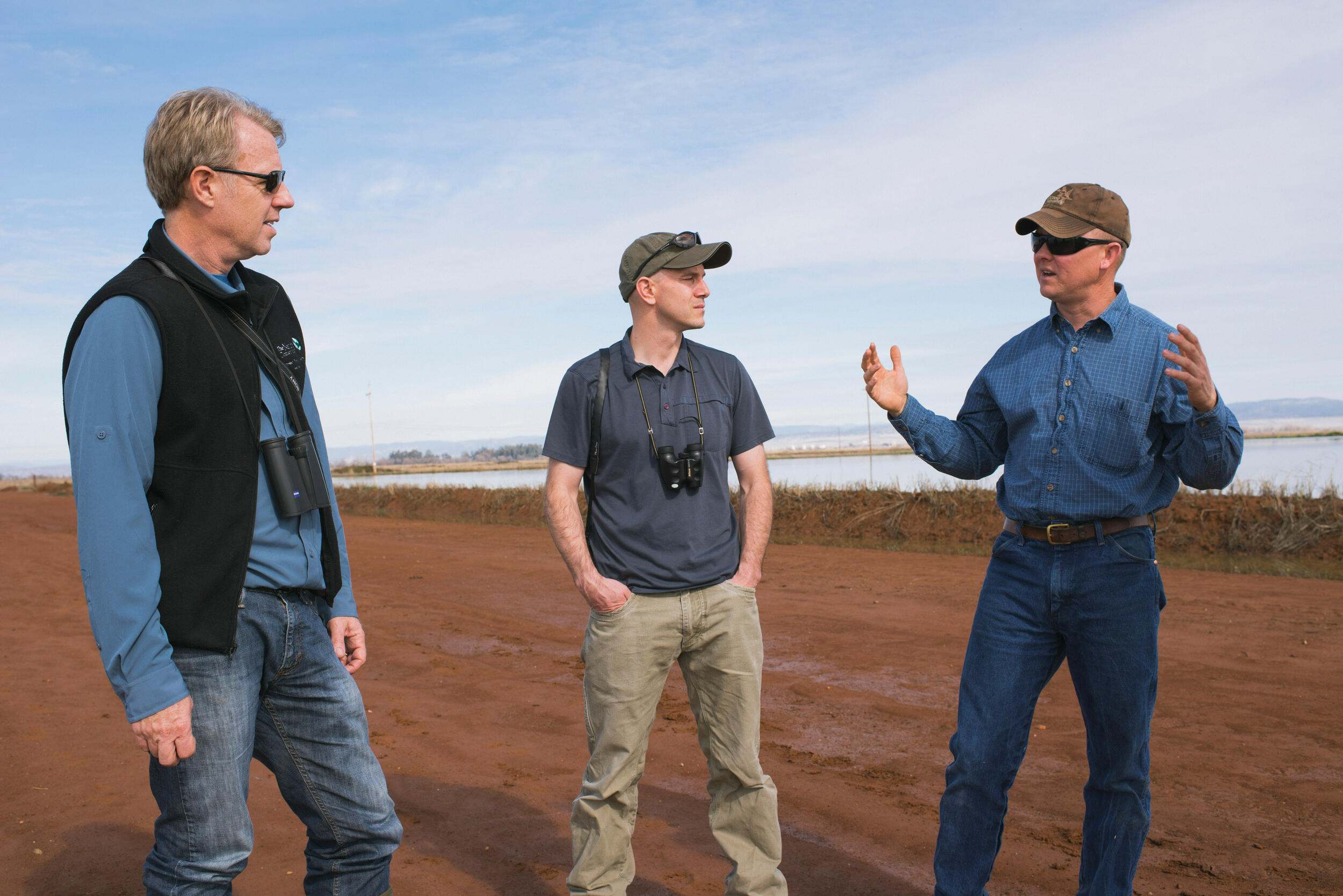
Since 2001, The Nature Conservancy, Conservation Farms and Ranches and our partners have managed Staten Island Preserve as a living laboratory. Building on decades of wildlife-friendly farming practices pioneered by local farmers, waterfowl managers and hunters, the preserve demonstrates how agriculture and nature can thrive together. By adjusting the timing of field flooding, leaving harvested fields unplowed so birds can access leftover grains and planting crops like corn, rice and alfalfa, farmers create ideal feeding and resting habitat for thousands of migratory birds, like the iconic sandhill cranes.
We’re also exploring advancing the science around climate-friendly agricultural practices, learning what practices best reduce emissions from the land and understanding how those practices connect to other important benefits like habitat for birds. Flooding rice fields and managed wetlands helps slow soil subsidence (the sinking of the land), stores carbon and improves water management—all while maintaining productive yields for local agriculture.
We’re also working to ensure that Staten Island’s experiments with crop rotation, habitat management and nature-based climate solutions can lead the way for similar efforts across the Central Valley. We’re exploring innovative incentives and policies to find economic pathways so TNC and our partners scale these practices to create a more sustainable future.
Working with Nature to Address Climate Change
Historically, the expansive wetlands of the Delta served as a “carbon sink,” as the landscape captured and stored carbon in the rich peat soil as part of a carbon cycle that regulated Earth’s climate for millennia. But when these wetlands were drained for farming, oxygen reached the soil, resulting in processes that both release significant amounts of greenhouse gases and cause the subsidence (or sinking) of the land. This means that agricultural lands in the Delta are both contributing to climate change and facing an increased risk of flooding from sea-level rise.
The good news? By understanding how natural systems work, we can use them to tackle climate change. Nature-based climate solutions are the ways we protect, manage and restore nature to store carbon, avoid greenhouse gas emissions from ecosystems and defend against harmful climate impacts.
By restoring wetlands and cultivating rice, our work at Staten Island Preserve shows how nature can be an immediate climate solution that provides multiple benefits.
TNC and our partners are putting this science into practice at Staten Island, where we’re looking into different approaches to cultivating rice and exploring different ways to restore wetlands to reduce greenhouse gas emissions. The wetlands won’t just fight climate change—they are also carefully designed to support migratory birds and improve the quality of water as it flows downstream. Creating a mosaic of rice and wetlands will also reduce subsidence, helping protect the island from flooding and sea-level rise. By mid-century, these changes should reduce Staten Island’s greenhouse gas emissions by approximately the same amount as planting more than 9 million tree seedlings and letting them grow for 10 years.
You May Also Like

Water Is Life
When nature doesn’t have enough water, it’s only a matter of time before people don’t either.

BirdReturns: A Habitat Timeshare for Migratory Birds
When it comes to habitat, why buy when you can rent?

Get Outside in California
Get the inside scoop from TNC staff on their favorite outdoor activities at our California preserves and project sites, from tide pooling on Santa Cruz Island to kayaking at Independence Lake.