
Our Science
Through bold collaboration and diverse perspectives, TNC expands scientific expertise and drives global impact.

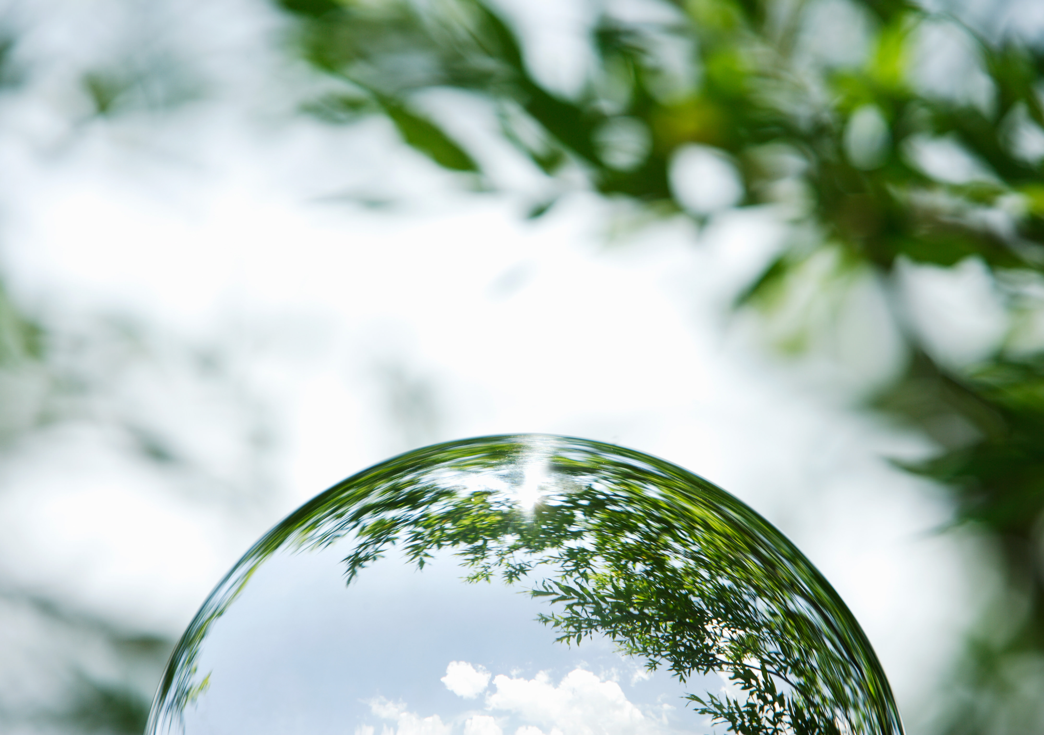
Follow the Science
At TNC, science is at the heart of everything we do. It guides every decision, shapes every strategy, and drives every solution. As we confront the crises of climate change and biodiversity loss, our commitment to world-class science has never been more important. Today, we’re focused on turning bold ideas into real-world impact, scaling solutions that drive lasting, systemic change for people and nature.
Innovating for People and the Planet: The Scientific History of TNC
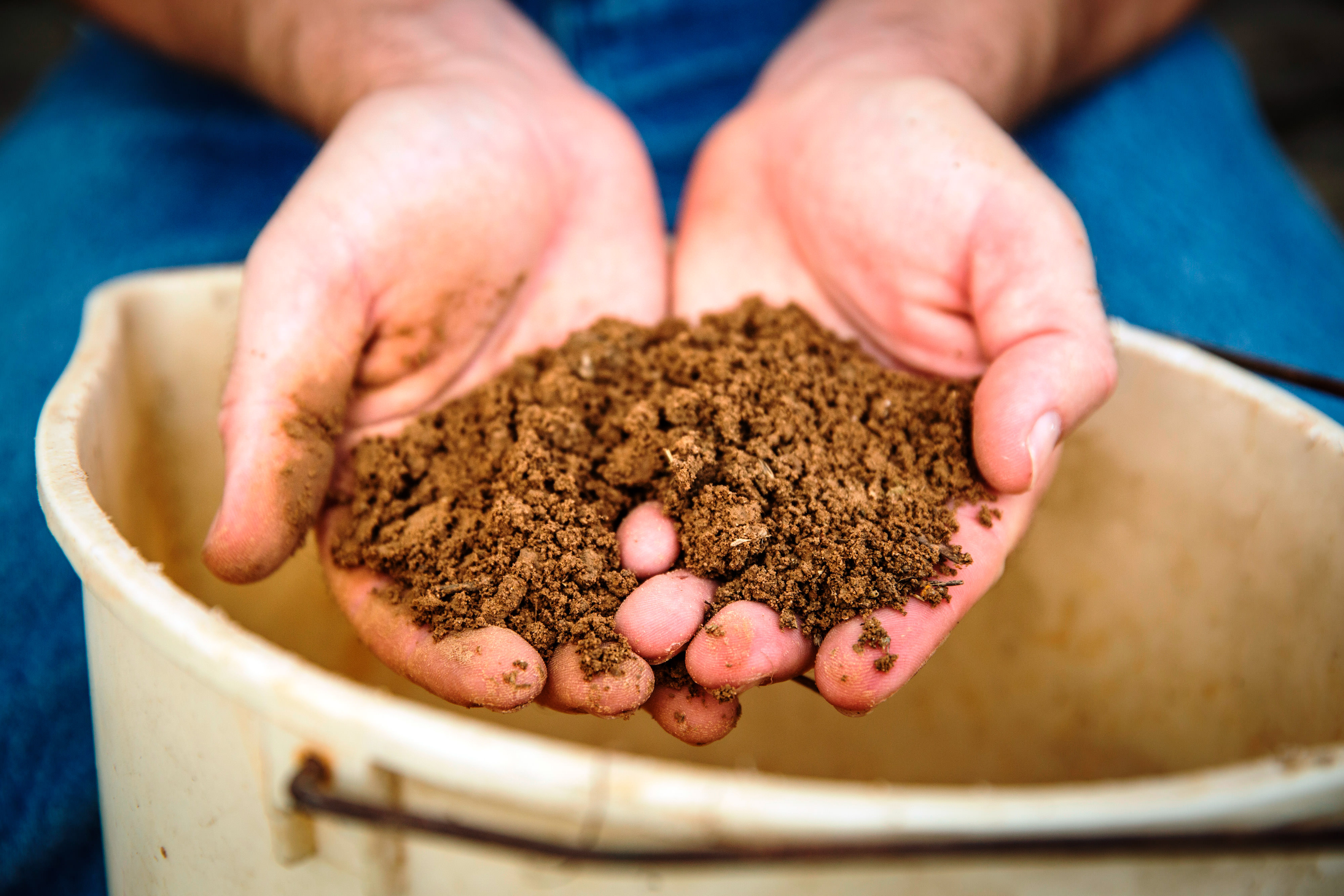
Science is the backbone of The Nature Conservancy’s mission to conserve the lands and waters on which all life depends. It provides the evidence base we need to set priorities, design effective strategies, and measure our impact. Science empowers us to address complex environmental challenges with solutions that are grounded in data, scalable across geographies, and rooted in the needs of local people and communities.
From our origins in the Ecological Society of America to our evolution into a global conservation leader, science has always defined who we are. Today, more than 1,000 science staff across all 50 U.S. states and more than 80 countries and territories are advancing TNC’s mission through interdisciplinary research and collaboration. With expertise covering more than 60 disciplines, our scientists work hand-in-hand with partners and communities to create solutions for nature, climate, and people that are locally grounded and globally scalable.
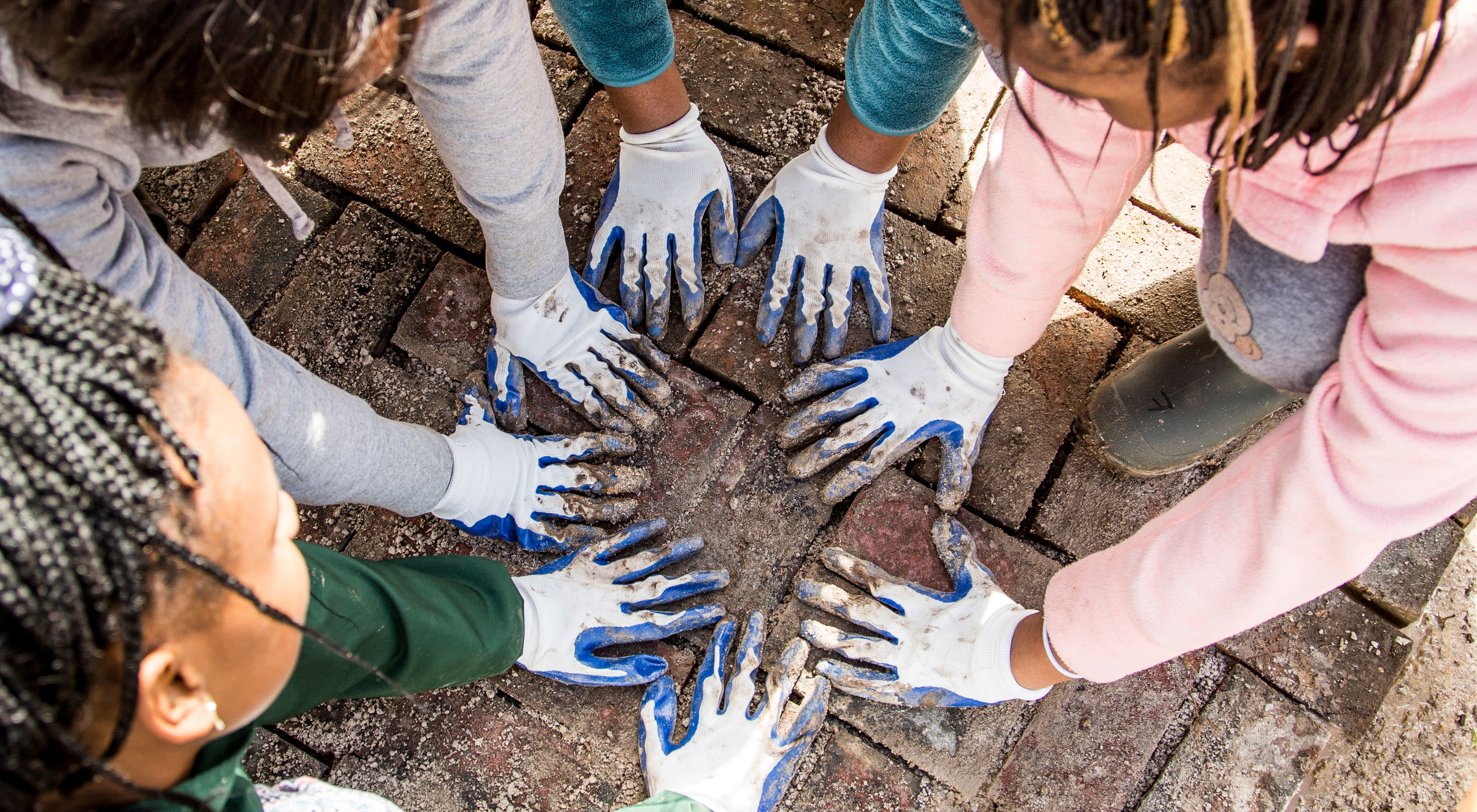
At TNC, science is inclusive, collaborative, and focused on impact. Our teams integrate cutting-edge technologies like remote sensing, artificial intelligence, and bioacoustics with Indigenous and local knowledge to develop solutions that work in the real world. Whether advancing climate adaptation, marine spatial planning, sustainable agriculture, or natural climate solutions like agroforestry and reforestation, TNC science is designed to be used—informing decisions, guiding policy, and driving change at scale.
At The Nature Conservancy, science is more than a tool or a discovery. It’s how we turn knowledge into impact, all with the goal of creating a thriving future for life on Earth.
Where Science Meets Impact
At TNC, science isn’t just a tool, it’s a bridge to a better future for biodiversity, climate and communities.


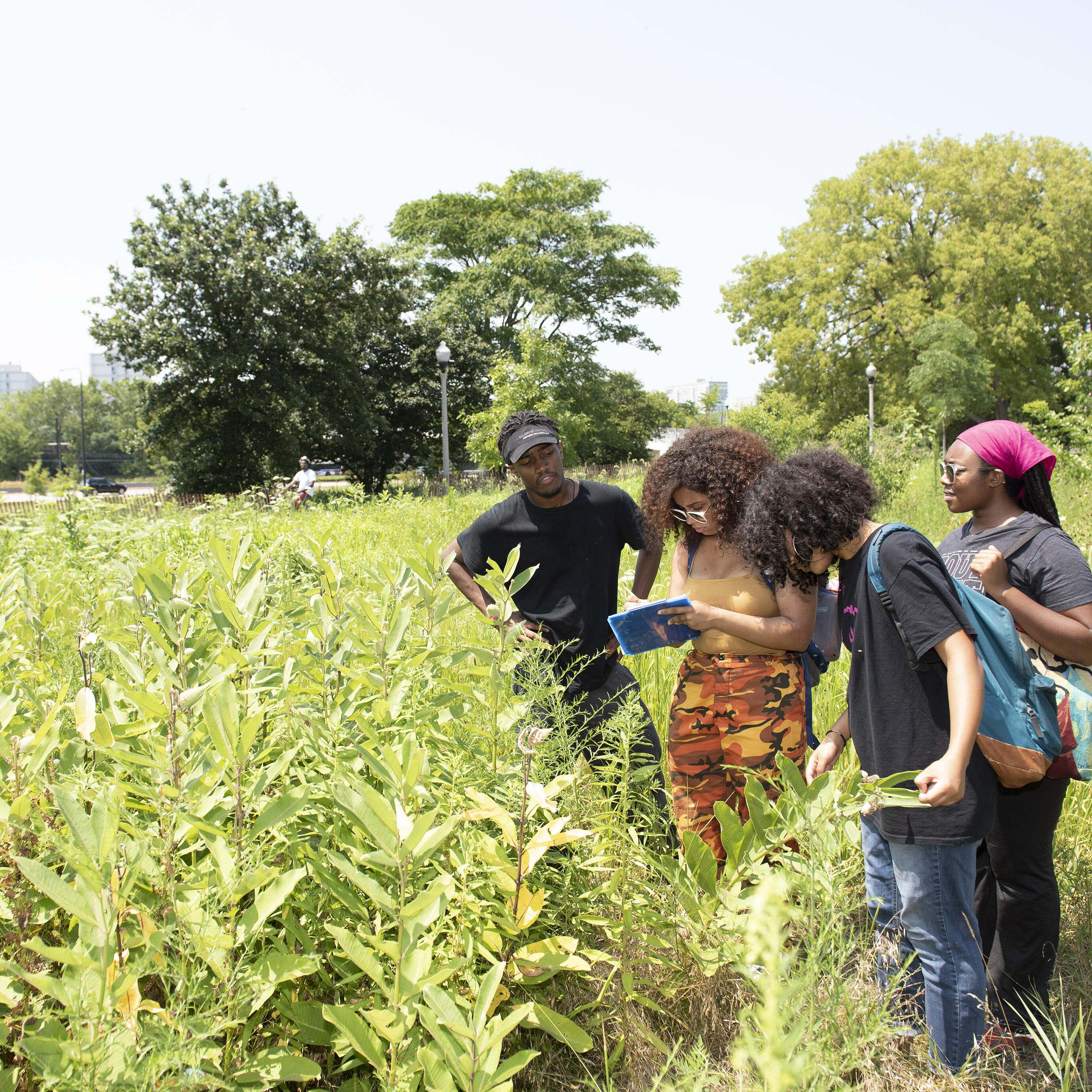
ORDWAY PRAIRIE: This preserve protects more than 800 acres of grasslands and woods that have been relatively undisturbed. © Wallace Dayton
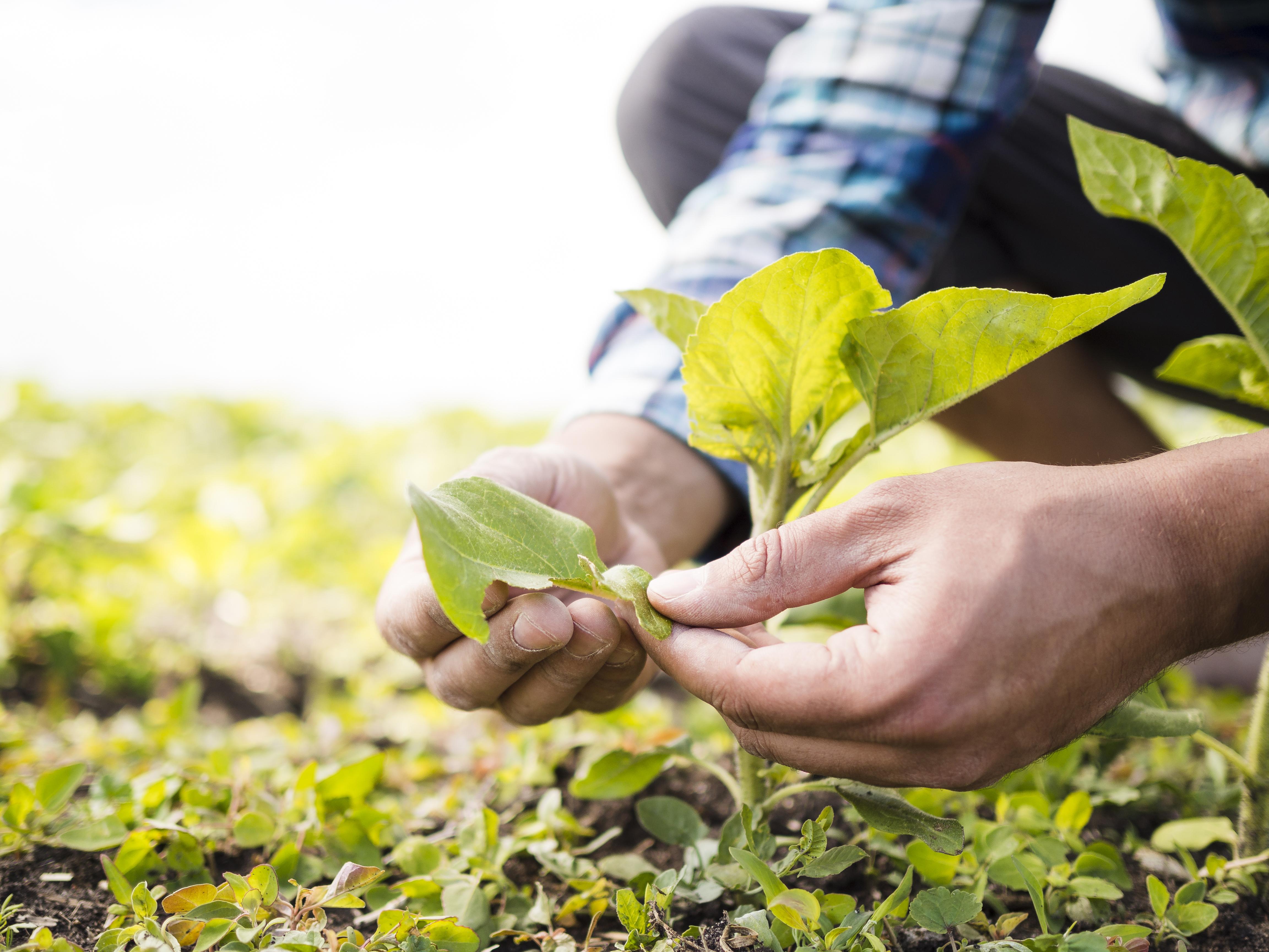
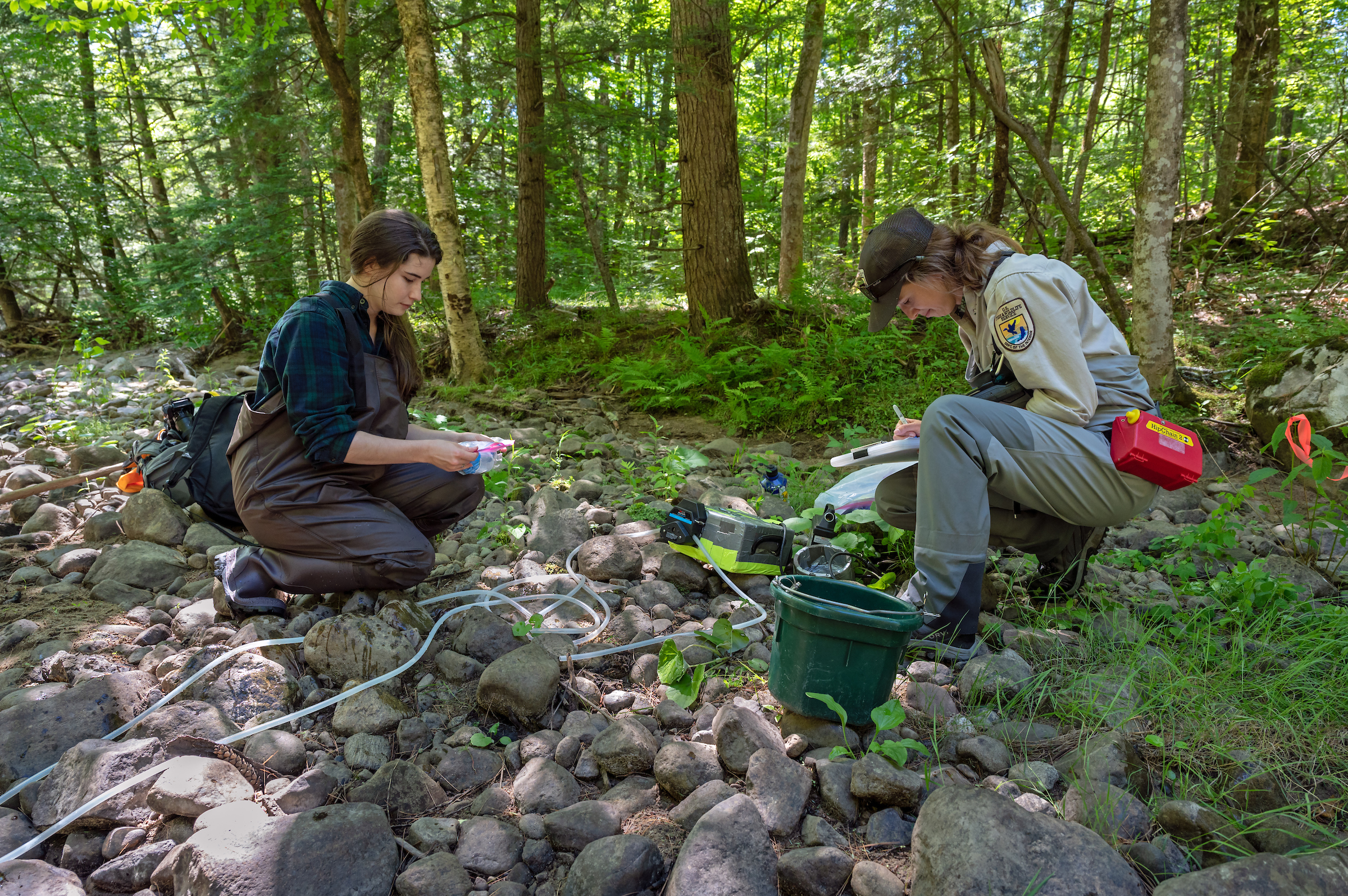
Measuring trees: Conservation practitioners examine and measure trees in a wetland. © Mac Stone
Science-Based Solutions: A researcher measures water quality on an oyster reef. © Hannah Packman/TNC
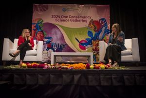
OCS Gathering Opening: TNC CEO Jen Morris and Chief Scientist Katharine Hayhoe having a fireside chat at the OCS Gathering in 2024 © TNC
One Conservancy Science Program: By the Numbers
We provide the connectivity, training, resources and support needed to deliver state-of-the-art science to accelerate progress toward our 2030 goals.
-

1,000
Science staff at TNC
-

374
2024 publications authored or co-authored by TNC staff
-

60
# of science disciplines represented
-

80+
We impact conservation in more than 80 countries and territories.
The One Conservancy Science Program invests in four key areas
Our vision is to create a sustainable and interconnected science network
Developing Connectivity
Creating a connected science community that promotes knowledge-sharing and collaboration across all scales, both internally and externally.
Honing Our Focus
Accelerating integration of science into decision-making across the organization to meet our 2030 goals.
Filling Our Gaps
Identifying and collaboratively filling critical science gaps, from social science to traditional ecological knowledge, and fostering transdisciplinary partnerships.
Building Our Consistency
Building capacity and knowledge infrastructure and promoting resources and standards to strengthen the quality and accessibility of science.
Science in the Spotlight
Discover how science is shaping conservation, from innovative research to on-the-ground impact.


Our Science Works to Advance the 2030 Goals
-
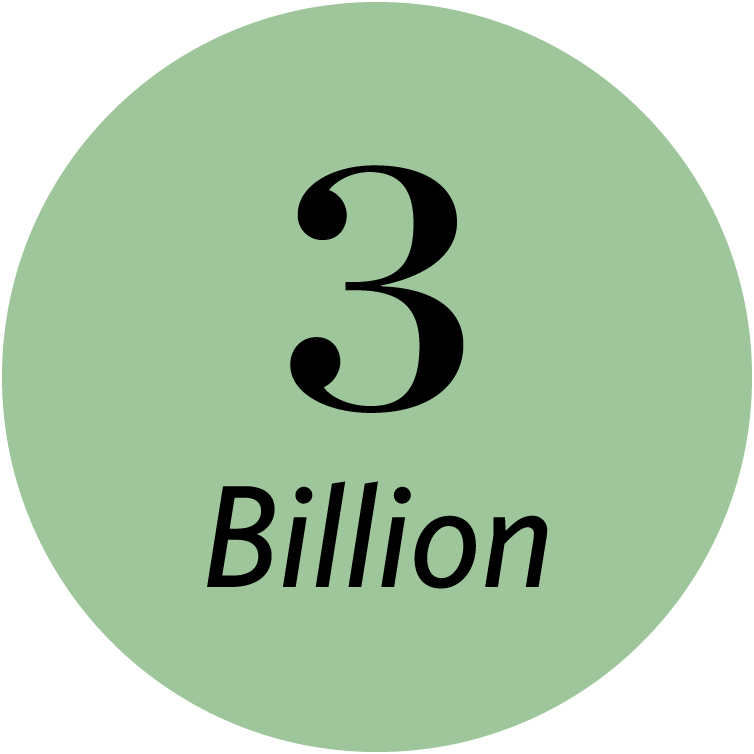
Avoid or sequester 3 billion metric tons of CO2 emissions annually
Using the power of nature and strength of policy and markets to store carbon, support the renewable energy build-out and reduce emissions equivalent to nearly 10% of global emissions from fossil fuels. Learn about Natural Climate Solutions.
-
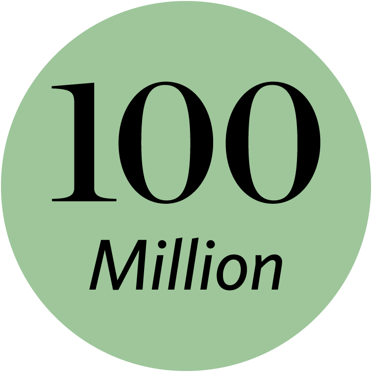
Help 100 million people at risk of climate-related emergencies
Protecting and restoring the health of natural habitats—from mangroves and reefs to floodplains and forests—that help protect communities from storm surge, extreme rainfall, severe wildfires and sea level rise. How we're strengthening coastal resilience.
-
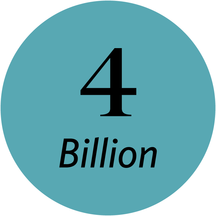
Conserve 4 billion hectares of ocean
Making sure the oceans thrive through new and better-managed protected areas, global-scale sustainable fishing, innovative financing and positive policy changes to how the world governs the seas. Learn how climate-ready fisheries can restore ocean health.
-

Conserve 650 million hectares of land
Partnering with communities across the globe to restore & improve management of working lands, support the leadership of Indigenous peoples as land stewards, & conserve critical forests, grasslands and other habitats rich in carbon & biodiversity. Explore our conservation projects around the world.
-
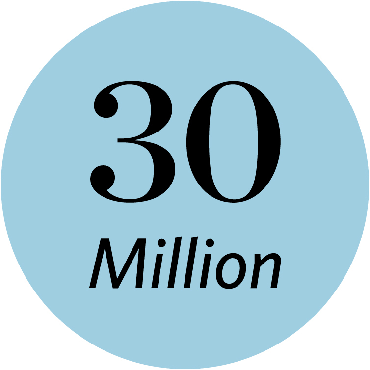
Conserve 30M hectares of lakes & wetlands, 1M kilometers of river systems
Promoting innovative solutions and policies that improve the quality and amount of water available in freshwater ecosystems and to communities. Read more on our sustainable rivers projects.
-
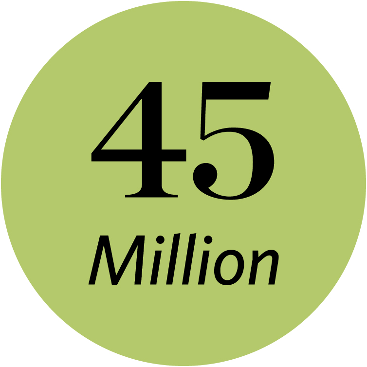
Support 45 million people, partnering with local and Indigenous communities
Partnering with Indigenous Peoples and other communities to learn from and support their leadership in stewarding the environment, securing rights to resources, improving economic opportunities and shaping their future. Learn how we partner with Indigenous Peoples and local communities.
Explore key science resources at TNC
Learn more about the science behind our conservation work. These key resources offer insights into the data, research and innovations that guide The Nature Conservancy’s global efforts to protect nature and people.
-
Conservation Gateway
Conservation Gateway is The Nature Conservancy’s online hub for practical conservation knowledge, bringing together tools, research, reports, and proven strategies in one accessible platform. Explore Conservation Gateway
-
Science Catalyst Fund Impact Report
The inaugural report of The Nature Conservancy’s 2030 Science Catalyst Fund spotlights how rapid-response research is accelerating science-based action across the globe. Check out the Inaugural Report Here
-
Council of External Science Advisors
In late 2024, TNC established the Council of External Science Advisors (CESA) for the OCS program. The CESA ensures TNC's science aligns with the latest advancements, providing independent oversight and guidance on critical topics. Council of External Science Advisors
-
Scientists Powering Conservation
Get to know the scientists driving conservation forward. Their biography pages offer a closer look at the people behind the research, restoration and innovation shaping our planet’s future. Our Scientists
-
Science for Nature & People Partnership
SNAPP is a global partnership that funds expert teams to create data-driven, scalable solutions linking nature conservation to human well-being, focusing on climate, food, water, oceans and social innovation. Learn More About SNAPP
-
Cool Green Science
Cool Green Science shares how conservation science tackles climate change and biodiversity loss. Through field stories, expert insights and fascinating discoveries, it connects readers to the science behind protecting nature. Check out the blog here
-
Geospatial Annual Report Digital Companion
Discover the integral role of geospatial mapping technologies in prioritizing conservation science to achieve our goals and earn the best return on conservation investments around the world. About the Latest Report
-

Denise O’Leary and Kent Thiry Sustainability Fellowship
The Denise O’Leary and Kent Thiry Sustainability Fellowship is a pioneering partnership between TNC and the Smithsonian Institution, designed to empower the next generation of scientific leaders in sustainability and planetary resilience. Learn More About the Fellowship
Read More

Tackle Climate Change
Climate change isn’t a distant threat—it's happening now, and it’s our biggest problem. The urgency is real, but so are the solutions to stop global warming.

Protect Ocean, Land & Fresh Water
We’re facing two existential crises: climate change and rapid biodiversity loss. Reversing these crises requires protecting and sustainably managing our ocean, land and fresh water.

Provide Food & Water
The Nature Conservancy is fostering innovations in technology, collaborating with communities to use resources more efficiently and promoting policies that enable sustainability.