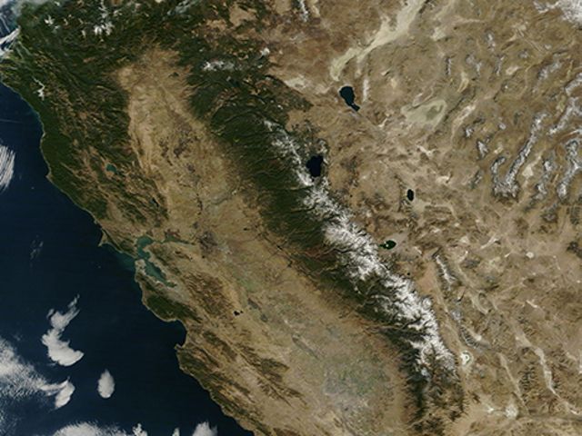
In the arid and not-so-arid west, this is where water comes from in the summer: snowy islands isolated to high-elevation mountain ranges.
That’s it. That’s all we’ve got. There will be no rain for several months. There is no other source of water that will bubble up from below. There is no higher mountain from which to draw. This is it.
It’s a fickle source, as demonstrated by 2015’s extraordinary drought and 2017’s extraordinary snowpack. It has its up years, when mountain snow skirts are thick and extensive, blanketing the foothills’ ankles in a sparkling white drape. And it has its down years, when the mountains only sport short tennis skirts.
Tennis whites, however, are what’s on tap for the future. And that water cannot meet the needs for all who live below.

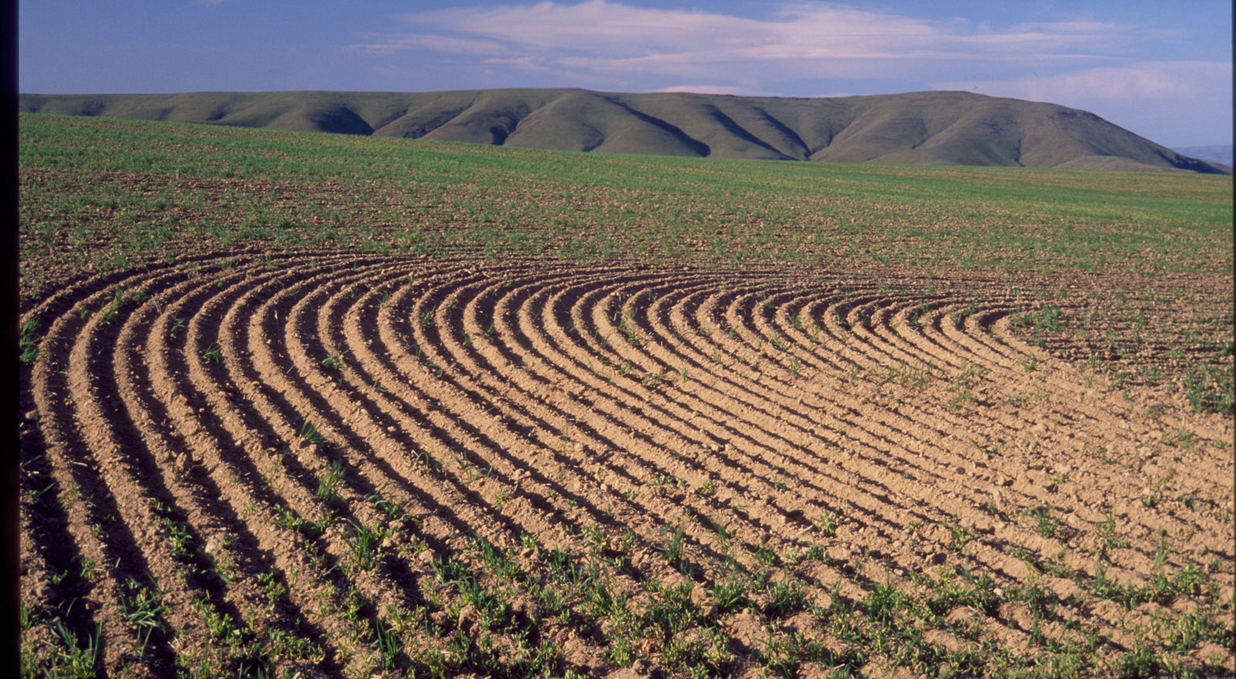
An analysis of water allocation needs for the Yakima Basin in Washington’s Central Cascades region indicates that climate shifts will induce increasingly contentious tradeoffs among water users. As the most sensitive basin to climate shifts in Washington state, agricultural uses and instream flows for ecological integrity are at odds. For example, under 2020 climate projections, the Yakima watershed can meet 100 percent of agricultural needs but only 60 percent of instream flow needs during July and August. Under 2040 climate projections, instream flow needs are reduced even further.
And that is the way water is currently prioritized. People first, ecology second. It is instructive to flip the equation on its head in order to understand what ecological needs might experience when only 60 percent of the need is filled in order to meet human demands first. Under a fish-first water policy with 2020 climate projections, the Yakima Basin watershed can provide between 93 and 100 percent of target flows for fish requirements but only 50 percent of agricultural needs. By 2040, we can still meet fish target flows, but only if agricultural users receive a mere 34 percent of their stated needs.

You can easily imagine the collapse of Yakima Basin agriculture with a 66 percent reduction in water availability. But can you imagine what ecosystem collapse might look like with 66 percent less water? Can you imagine what that might do to anadromous species of salmon, to migratory mammals, to floodplain ecosystems, to riparian forests, to downstream estuaries where salt curtails marsh vegetation reproduction and growth?
The good news, however, is that there is water to be found throughout these watersheds. There is water tied up in the evapotranspiration of trees — the process by which water is transferred to the atmosphere by transpiration from plants — as young overstocked forests transpire more water than mature forests with natural stand structure.
There is water to be held within the hyporheic (groundwater) zone beneath floodplains, if only we could reduce stream incision, which drives the water table downward and shunts water off the landscape. There is later-season water to be found through snowpack-tree canopy gap dynamics, as thick tree canopies can intercept and prevent a building snowpack in some areas or protect it, through shading, in others. There is water to be saved from leaking irrigation canals — canals that could be lined — and the saved water returned to the creeks and rivers where it is most needed.

While the landscape requires extensive restoration on all these fronts, they are tangible projects that can be assessed, quantified and implemented. They include components that can be addressed from the ridgetop to the river. They represent integrated scientific disciplines and diverse resource-management techniques. The represent a recognition that there is water slipping away in inefficiencies throughout the system.
And lucky for us, we have the state of California to help us out as we rethink water for the future. During the recent, prolonged drought in California, people were lining up below freeway overpasses to gather stormwater runoff in 5 gallon buckets. As they drove their pickups home to water their plants with toxic effluent, it became clear that every single drop of water is a resource; polluted or not.
So as we design our Washington conservation programs, let us remember that you cannot have thriving communities and thriving nature without water for both. California has felt this pressure and is innovating as a result of having experienced great pain. From a climate perspective, Central Washington is not far behind.
Perhaps a look to the south will provide helpful guidance to our conservation programs as they relate to freshwater, because we all know that when it comes to water allocation, not everyone is invited to play in their tennis whites.
