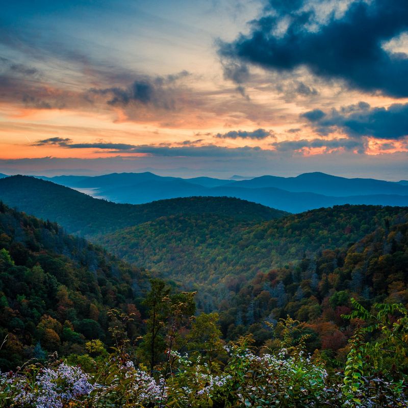
Hurricane Helene: One Year Later
A focus on rebuilding stronger, more resilient forests and waterways.
It’s been one year since Hurricane Helene tore through western North Carolina, leaving deep scars in landscapes and communities. For many, the days without power, up to 57 days without potable water, unpassable roads and upheaval in their day-to-day lives feel both just like yesterday and a long time ago. (Read Nature Conservancy magazine Deputy Editor Eric Seeger's firsthand account from Asheville.)
Recovery efforts by federal, state and private entities began immediately and continue today as people rebuild their homes and livelihoods. Over the winter and spring, staff from The Nature Conservancy and many partner organizations began to assess the dramatic impacts to nature and begin restoration efforts. As part of our efforts, we are one of several implementing partners working with the US Forest Service to assess and restore the most damaged or at-risk public lands and watersheds in and near impacted national forests.
TNC’s recovery work in the state is primarily focused on the Nantahala and Pisgah national forests and surrounding watersheds, where Helene’s impacts were especially severe. These landscapes are home to rich biodiversity, vital freshwater systems and communities that depend on healthy ecosystems for clean water, recreation and economic stability.
Below you will find more details about the impacts of Helene and our restoration efforts since the storm.
Forests
Our preserves in Ashe County came out relatively unscathed. Bluff Mountain and the New River headwaters are at the northern end of the area heavily impacted by Helene. Across the region, eastern slopes that were most exposed to westward winds suffered the most damage.


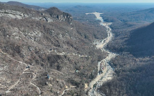
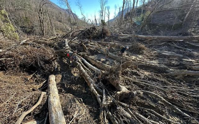
Bat Cave Preserve, located in Hickory Nut Gorge, was not as lucky and suffered extensive damage. Because of its unique mountain topography, rain funneled into the narrow gorge, leading to some of the worst flooding experienced in the region, including the extensive destruction seen in Chimney Rock Village. (Watch: The Chimney Rock video [31:08] by geologist Phillip Prince provides a great explanation of the extreme flooding around Chimney Rock.)
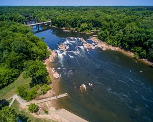
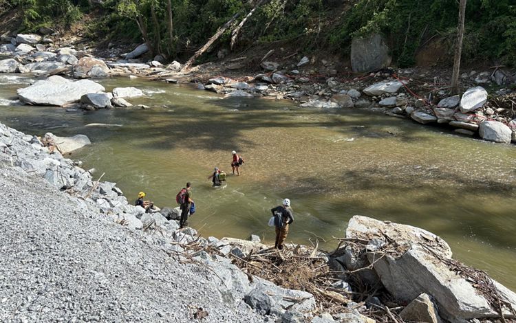
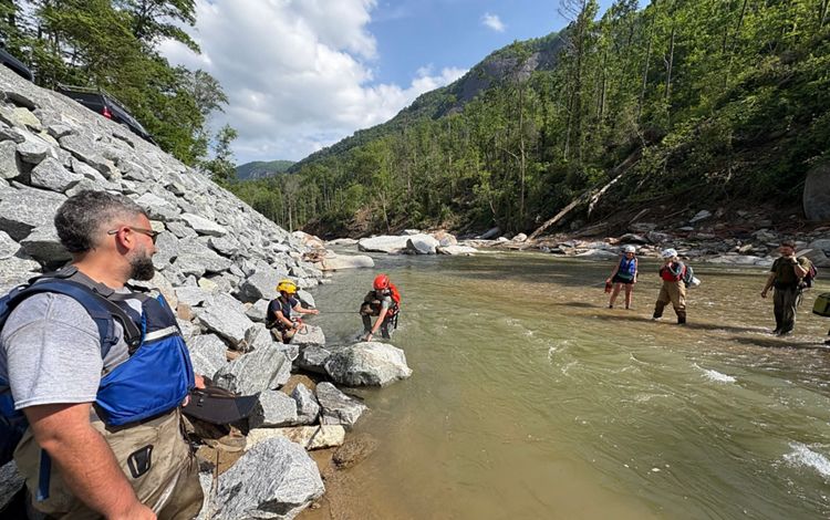
The pedestrian bridge across the Broad River, which served as the primary access point to the Bat Cave Preserve, washed away. The river here carved an entirely new channel, and the footprint of the riverbed shifted onto what had been U.S. Highway 64.
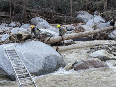
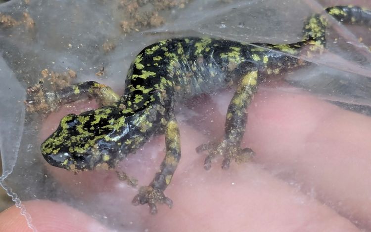
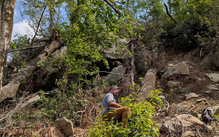
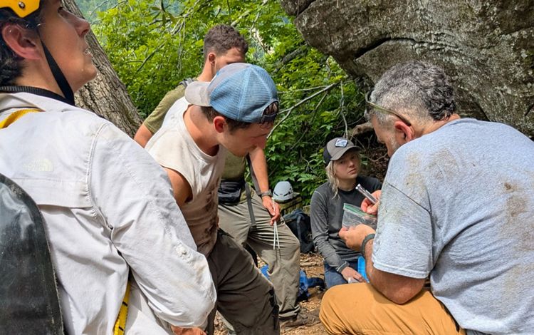
The preserve is now only accessible by land managers and scientists on a makeshift river crossing with whitewater rescue crew and other safety authorities on site. A key reason to access Bat Cave has been to support a new program to recover the Hickory Nut Gorge green salamander.
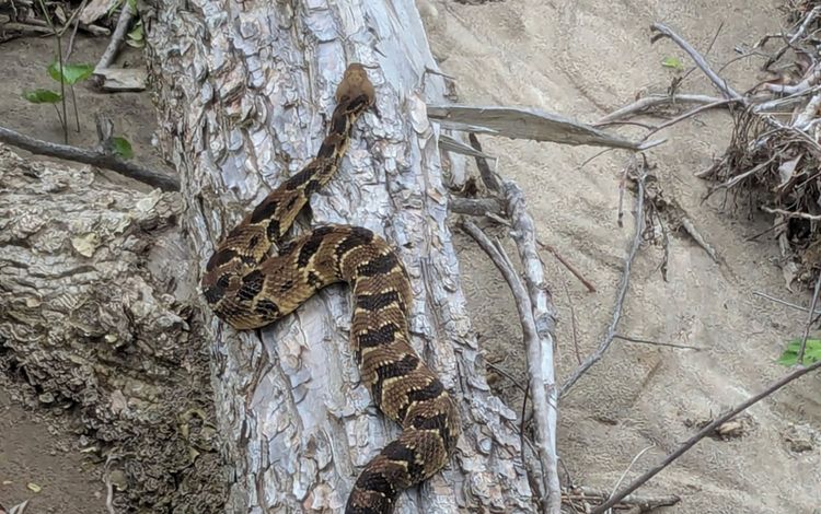
This salamander, found only in Hickory Nut Gorge, was already under threat, and was estimated to have a total population of between 300 and 500 individuals. The second-largest population is in Bat Cave itself, and the destruction wrought by Hurricane Helene spurred a new mission led by partner Amphibian and Reptile Conservancy (ARC) to find some of the remaining salamanders and bring them into a captive breeding program at the North Carolina zoo. So far, 15 individuals have been relocated, and the search continues to reach 25 in total.
Salamander Rescue in Action
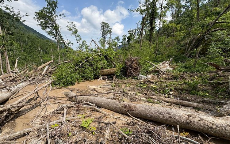
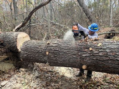
Across the region, the more than 800,000 acres of timberland damaged in the storm present new unique challenges for land management and wildfire risk reduction. The tens of thousands of downed trees create a lot of potential fuel on the forest floor. Without a closed forest canopy above them, the wood will dry out more quickly, and thus pose a greater risk in the event of a wildfire. Wildfires will burn hotter, and only some desired species can handle this intensity of heat to go on and flourish.
We are grateful to the TNC staff, seasonal fire crew and partners in the region who worked to clean up debris, create fire lines and secure road access. Since January, TNC’s Southern Blue Ridge fire crew have burned sparingly in the region, and we hope to be able to increase the pace of controlled burns to reduce fuel load and wildfire risk.
Wetlands and Bogs
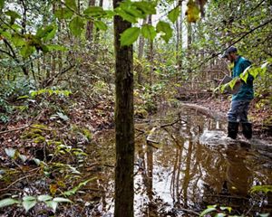
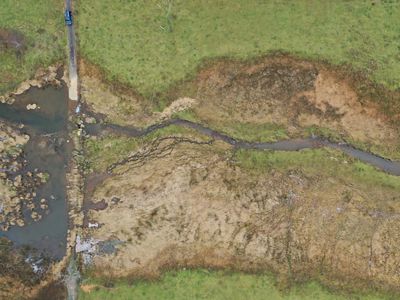
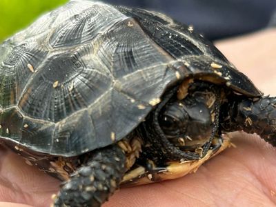
Our fragile bogs in Ashe and Henderson counties suffered various degrees of damage, especially from significant amounts of gravel that washed in. These bogs are home to threatened endangered species, such as bog turtles, mountain sweet pitcher plants and purple mountain pitcher plants.
More than a foot of water inundated an area known for its large population of bog turtles. NC Wildlife Resources Commission led an effort to remove sediment by hand from the main turtle habitat area, and TNC funded additional infrastructure to help the turtles stay safe from human threats.
Our partner Amphibian and Reptile Conservancy continues to assess and monitor the turtles, protect nests and assist with habitat management. In the spring, those assessments showed healthy turtle populations in many locations. In late May, 17 bog turtles that were born and raised at Zoo Knoxville as part of a head-starting program were released at a known turtle habitat in Ashe County.
Freshwater Systems
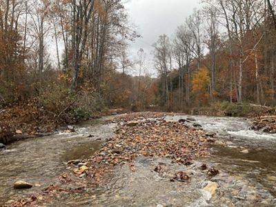
Hurricane Helene was a geomorphic event that triggered hundreds of landslides, reshaped landscapes and carved new river channels. Because of this, much of the work TNC was doing on fresh water in the region, such as working with the U.S. Forest Service to develop watershed restoration action plans (WRAPs), which outline projects that aim to make our watersheds more resilient to climate change, had to be reevaluated. TNC staff and partners spent months collecting new data on the changes within the watersheds, such as landslide locations, road-stream crossing conditions, biodiversity and even the new footprints of riverbeds.
Not surprisingly, since the hurricane, the list of projects has gotten longer. For example, many culverts that were not barriers to aquatic passage before the storm now likely need attention. The nearly 2,000 landslides reported across the state damaged road systems and river crossings and could contribute sediment to the freshwater system for years to come.
While the majority of the physical impact assessment work is complete, the NC Wildlife Resources Commission and the U.S. Forest Service are still assessing biological impacts on several freshwater species, including hellbenders, fish and mussels. TNC is now working to prioritize projects within the WRAPs for implementation and coordinating with partners to identify overlapping priority areas and actions so we can accomplish more projects collaboratively. Many of the projects are focused on improving aquatic connectivity, such as through upgraded infrastructure that will be more resilient to larger flows.
Watch below as NC Mountains Freshwater Specialist Lucie Law discusses how the storm worked to reconnect the floodplain in one area.
Join Our Rebuilding Efforts!
We are raising $1 million for Hurricane Helene recovery efforts in NC's mountains. These funds will go to road engineering and repair, river restoration, creating fire lines and more. Will you make a special gift?
