New York
Nature Is the Smartest Investment We Can Make

- Phone: 212-997-1880
- Email: natureny@tnc.org
-
Follow


Get Involved!
Show your love for nature by taking action today. Every acre we protect and every river mile we restore begins with you.

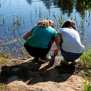
Protecting New York’s Family Forests
Learn how the Family Forest Carbon Program helps landowners and nature—and find out if your land qualifies for enrollment and payment.

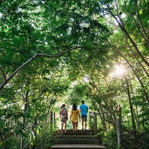
Five Nature Day Trips From NYC
From serene forests to breathtaking views, this is your day trip guide to exploring nature preserves around New York City.

Building Safer Roads in a Region on the Move
New approaches across the Appalachians aim to reduce wildlife crashes and rebuild the pathways nature needs.
More From New York

Forever Wild
In 2008, The Nature Conservancy bought thousands of acres of Adirondack forest, including the historic Follensby Pond. Now, part of the area will open to the public for the first time in 100 years.

Eyes on the Water: Navigating the Return of Whales to New York's Coast
Whales are back off New York’s coast. Take The Nature Conservancy’s free course to learn whale-safe boating, spot and report sightings, and help protect marine life.

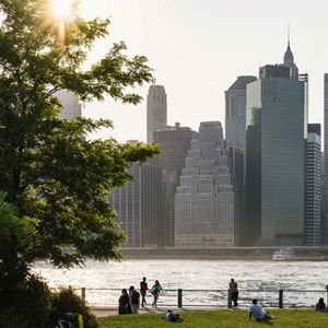
Future Forest NYC
The urban forest makes New York City more livable. Discover how we’re working to expand, protect and advocate for this critical resource for everyone.
Visit A Preserve Near You
From Long Island to New York City to the Adirondacks and the Great Lakes and beyond, our work extends far and wide across the state.

Join Us and Learn More
Sign up to receive monthly conservation news and updates from New York. Get a preview of New York’s Nature News email.