Louisiana Watershed Initiative
Restoring and managing freshwater resources in ways that align with the natural functions of watersheds.
In 2016, Louisiana suffered 500- and 1000-year flood events that affected every community in the state. For example, in the state capitol of Baton Rouge, flooding damaged more than 180,000 homes and destroyed 22 schools. In response, the State of Louisiana received a federal grant to establish an entity charged with identifying and supporting efforts to prevent future flooding and subsequent disasters.
This led to the formation of the Louisiana Watershed Initiative (LWI), which now coordinates nine watershed regions that engage local governments and communities in developing projects that will carry out LWI’s mission to reduce flood risk and improve floodplain management across the state, including through maximizing the natural and beneficial functions of the floodplains.
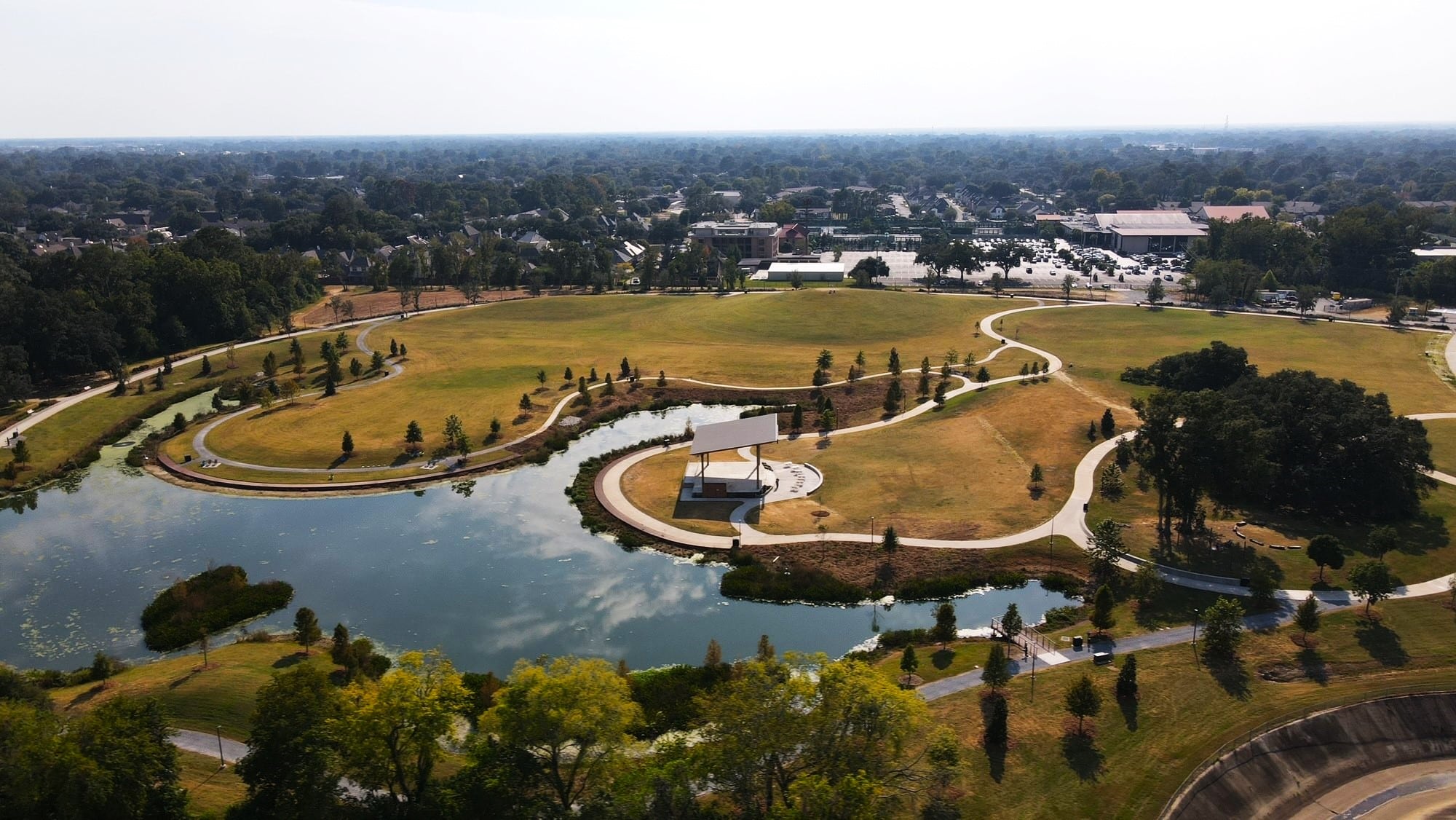
Since establishing LWI, The Nature Conservancy and RTI International (RTI) have teamed up with the State of Louisiana to explore places where nature may be effective at absorbing and slowly filtering floodwaters to protect communities while enhancing water quality and providing wildlife habitat.
The result of this effort is the Nature-Based Solutions (NBS) Explorer, an interactive, on-demand modeling tool that quantifiably evaluates risks and opportunities for employing nature in building flood resilience. After years in development, TNC and RTI are now launching the NBS Explorer.
The tool is built on RTI’s Watershed Flow and Allocation (WaterFALL®) modeling platform. WaterFALL is driven by on-the-ground conditions—including land cover, soils, temperature, precipitation and human impacts to the natural hydrologic regime—to inform individuals, communities, agencies and others throughout Louisiana’s inland watersheds in their flood resilience planning.
The NBS Explorer allows users to quantify flood reduction and other co-benefits (water quality, aquatic habitat, social) of potential flood resilience projects so that they have necessary information for submitting funding applications with little to no outside support.
The NBS Explorer provides hydrologic and water quality information required by communities to evaluate potential projects under current conditions (i.e., the last 20 years). It also offers two projected future climate and land development scenarios. Based on years of science and development, the NBS Explorer allows users to define their project type, location, size and other key characteristics within a watershed model that is already calibrated to local conditions.
Case Study
Village of Natchez
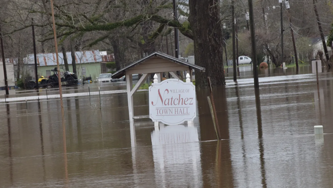
The Village of Natchez is a small community in Natchitoches Parish located along the levees surrounding the Red River. Here, TNC and RTI used the functions within the NBS Explorer to help local stakeholders devise four different options for reducing the flooding that has caused significant damage to their community multiple times in recent years. Based on limited local observations and data about the surrounding watershed to supplement geospatial analyses underpinning the WaterFALL modeling, the team used the NBS Explorer to identify and analyze one large wetland restoration project, one green infrastructure project, and two small agricultural conservation projects. These projects qualified for LWI funding, which makes it possible for the community to pursue NBS that will address ongoing flood issues.
Quote: Bryan Piazza
Anyone can use this user-friendly modeling tool to determine flood risks and identify nature-based solutions that would be feasible to pursue in their community.
Water shapes Louisiana. Its rivers, lakes, bayous and the largest wetland in the United States—the one-million acre (405,000 ha) Atchafalaya Basin—collectively cover half of the state. These waterways are primarily influenced by two ecologically and economically significant ecosystems: the Mississippi River Basin, which drains 31 U.S. states, and the Gulf, which is bordered by five U.S. states that share more than 17,140 miles (27,584 km) of shoreline.
Louisiana lies in the bullseye of more frequent hurricane activity. With almost half of the state near or below sea level, Louisiana loses a 35-square mile area (91 km²) each year due to a combination of many factors, including subsidence and rising seas. Further inland, floodwaters flowing swiftly through manmade structures built to control rivers for transportation and commerce pose an additional threat to Louisiana communities, as does flooding via natural channels that are overwhelmed by runoff from increasingly intense storms and expanding urban areas.
The NBS Explorer puts the power into the hands of communities affected by flooding. As TNC and RTI roll out the NBS Explorer in Louisiana, they expect to accomplish more of the following around the state:
- Prioritize NBS projects.
- Secure funding for projects.
- Provide training and technical resources to grant recipients.
- Monitor and measure impact.
Louisiana Watershed Initiative
Contact Bryan Piazza (bpiazza@tnc.org) from The Nature Conservancy or Michele Eddy (mceddy@rti.org) from RTI, International to learn how you can use this tool in your community.


