Ecostate Mapping—New Tools for Conservation
Seeing the sagebrush sea clearly and acting with purpose

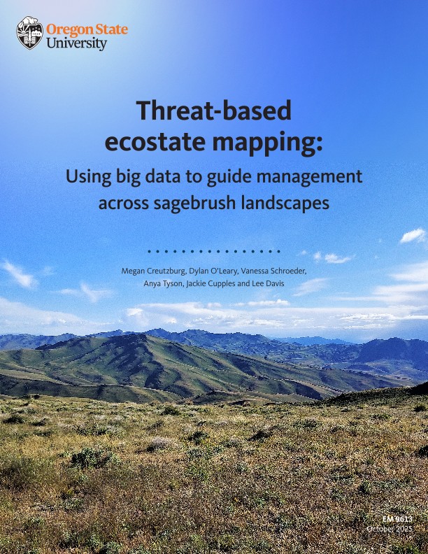
Across the West, the sagebrush sea stretches toward the horizon—home to ranching families, migrating wildlife, rural communities and deep cultural traditions. It’s one of the country’s great working landscapes, and one of its most threatened. Each year, invasive grasses, hotter and more frequent wildfires and expanding conifers chip away at the health of this ecosystem. Spanning roughly 150 million acres across the West, the sagebrush sea is so vast and varied that understanding where change is occurring requires tools that can reveal patterns and trends at scale.
Caring for places this vast requires clear eyes and shared understanding. That’s why a team of scientists and land stewards has created a new guide to “ecostate maps”—a simple way to see where sagebrush is thriving, where it’s strained and where attention is most needed.
The paper offers a practical tool rooted in both science and real-world experience across the West. It was co-authored by The Nature Conservancy’s Megan Creutzburg, Anya Tyson and Lee Davis, along with Dylan O’Leary (Oregon Desert Land Trust), Vanessa Schroeder (Oregon State University) and Jackie Cupples (U.S. Fish and Wildlife Service).

Seeing the Bigger Picture in a Changing Landscape
Think of ecostate maps as a landscape checkup. They pull together decades of satellite imagery and field data and translate it into an easy-to-read picture of land health at scale. Instead of mapping every plant species, they group vegetation into broad categories—like perennial grasses, shrubs and invasive annuals—and show what’s gaining ground and what’s losing. Each combination represents a general “state” of the land, from thriving sagebrush-bunchgrass communities to grasslands lacking sagebrush, areas invaded by annual grasses or landscapes with conifers encroaching into what was once sagebrush country.
This approach doesn’t replace local knowledge. Instead, it helps partners start from the same map and ask the same questions, like:
- Where is the land most healthy and the native sagebrush-bunchgrass community still strong?
- Where are invasive annual grasses creeping in or conifers spreading?
- Where do we need to “keep the good, good” and where can a small action today prevent bigger problems tomorrow?
At its heart, this tool is about supporting people who care for the land and sparking conversations about how to steward the land effectively based on a combination of science, technology and the experience of those who work and live on the land.
Built for Collaboration on Real Landscapes
Across the sagebrush sea, local partnerships are already using ecostate maps to guide conversations and coordinate work.
In southeast Oregon, for example, collaboratives of ranchers, conservationists and agency partners used the maps to agree on priorities: first protect the healthiest sagebrush areas, then tackle invasive grasses and early-stage conifer encroachment nearby. The result wasn’t just a plan on paper—it was a shared commitment, built on shared understanding.
That’s the strength of this approach. It sharpens focus, saves precious time and resources and helps neighbors and partners move in the same direction together.
Simple by Design, Stronger with People
The authors are clear: no map is perfect. Like a weather forecast, ecostate maps are most powerful when used alongside the experience of those who live and work on the land. They offer a starting point, a way to make big-picture decisions in places where every acre can’t be visited every year. And as satellite tools continue to improve, so will our ability to track change and respond thoughtfully.
Explore the Work
Check out the ecostate publication, which walks through:
- how ecostate maps are built
- how to use them effectively in planning, restoration and monitoring
- real examples from the field
- guidance on pairing maps with local knowledge
Download

Keep Up to Date on Stories Like These
Sign up to receive monthly conservation news and updates from TNC.
Sagebrush Sea Stories

Nature’s Next Leaders Start Out on the Sage
Jobs program employs teens and young adults from local communities while teaching a range of conservation skills.

Cool and Overlooked Critters of the Sagebrush Sea
Move over sage grouse: here are nine other cool critters of the sagebrush-steppe.

Southwestern Montana Partner Program
The Impact of the Youth Employment Program in Southwestern Montana