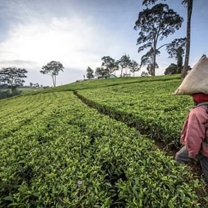
Our Goals for 2030

We have years, not decades, to take on the interconnected crises of climate change and biodiversity loss. But by working together, we’re overcoming barriers to the solutions our planet needs.
Together, we find a way.

Global Insights.
Check out our latest thinking and real-world solutions to some of the most complex challenges facing people and the planet today.
The Nature Conservancy’s 2030 Goals
Our approach reflects decades of learning and refining, and the special role TNC can play side-by-side with partners, communities and decision-makers across the globe:
Watch: A future where people and nature thrive


Watch these explainer videos
Our Challenges, Explained
Solving Climate Change
In this video, it’s the future, and we look back on how we saved the world. Spoiler alert: we did it with nature. How? In the 2020s, we learned that nature could pull 11 billion metric tons of carbon from the atmosphere.
(3:01)
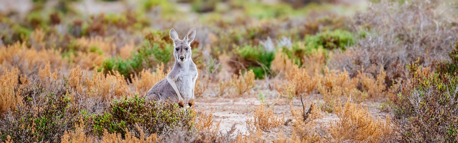
Biodiversity Explained
What if all the variety on the planet disappeared? It could happen. Extinctions are happening faster than ever. We must prioritize biodiversity for the health of our environment, food supply and economies.
(3:05)
TNC 2030 Goals in Action

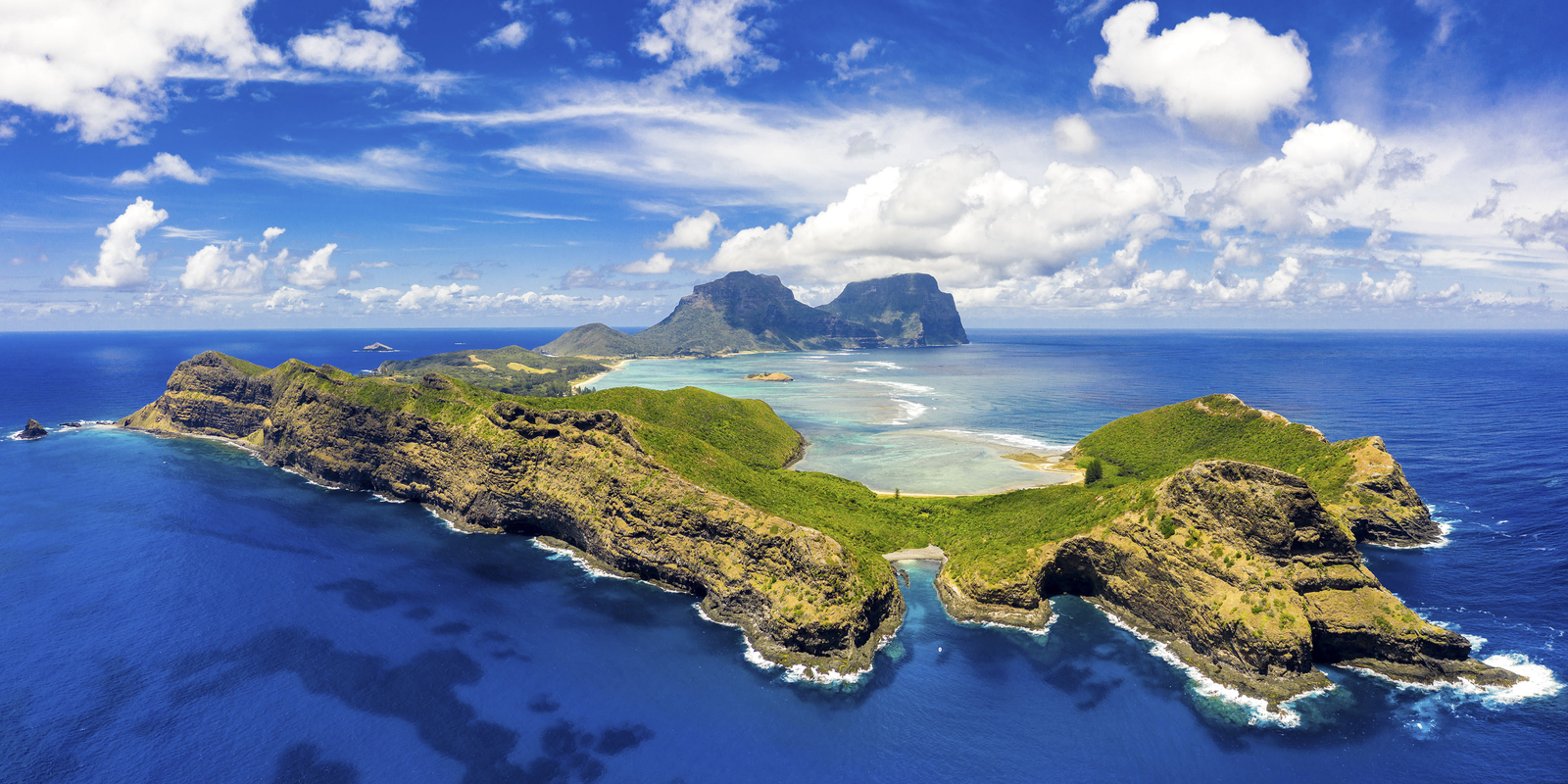
Our Priorities Around the World
Explore this map to see The Nature Conservancy’s key initiatives around the world to conserve the lands and waters on which all life depends.

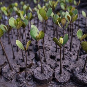
Natural Climate Solutions
Natural climate solutions are conservation, restoration and improved land management actions that increase carbon storage across the globe.

Maintain Climate Momentum
With record investments in clean energy and climate-smart food and forests beginning to flow, the U.S. is poised to reduce carbon pollution and usher in a prosperous, equitable, secure future.

Renewable Energy Transition
We no longer need to choose between abundant energy and a cleaner environment. A renewable energy revolution is happening across the globe.
How You Can Help
Be part of the solution and help protect our planet.