We're working with you to make a positive impact around the world in more than 35 countries, all 50 United States and your backyard. Support our work
Flatiron Lake is a tamarack-ringed, acid, kettle-hole bog that displays the classic ringed zonation of bog plant communities. The upland kame ridges surrounding Flatiron Lake are covered by mature oak-maple forests. These grade into the tall shrub community dominated by highbush blueberry. The tall shrub zone then grades into a tamarack woods, then a shrub zone and floating sphagnum mat and finally an open pool in the center. The bog developed in a kettle hole that formed in the Kent end moraine when the Wisconsinan ice sheet retreated approximately 12,000 years ago, making the bog among the oldest kettle hole bogs in the country. The bog bears a striking resemblance to Canadian bogs some 300 miles further north.
The ecological significance of the bog was not recognized until 1980 when Dr. Barbara Andreas went there to investigate an area where tamaracks were reported to grow. The Nature Conservancy purchased a 77-acre tract near the bog in 1985. Additional acquisitions have increased the size of the preserve to 97 acres.
Location
Portage County, in the Cuyahoga River watershed within the Western Allegheny Plateau Ecoregion.
Plants
Community types include tamarack-hardwood bog, tall shrub bog, and sphagnum bog.
Why the Conservancy Selected This Site
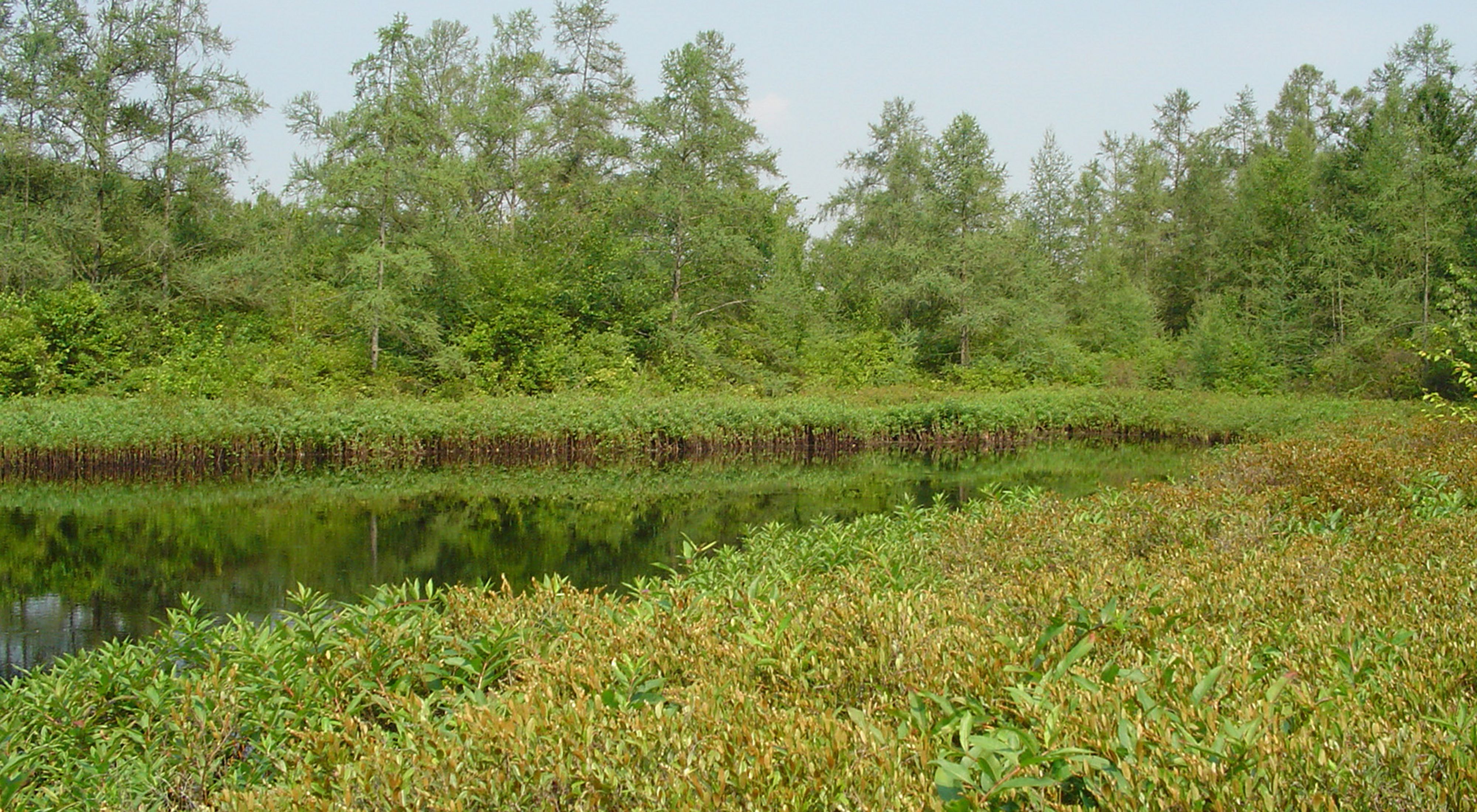
Flatiron Lake Bog is a rare classic tamarack-ringed bog. It may be the best example of this community in the state. Flatiron maintains an insulated microclimate where a host of northern plants can survive far south of their normal range. More than 15 rare species are found in the bog. Surrounding the kettle-hole bog depression are well-drained kame ridges and hills that support oak-maple forest. These forests are primarily secondary. However, one stand of trees located on a peninsula that rises slightly above the kettle-hole supports individual trees of impressive height and diameter.
The primary threats to Flatiron Lake Bog are the negative effects of human disturbance, invasion by weeds, and, potentially, woody succession. The surrounding forest community is most threatened by the invasion of non-native plants which can displace the native shrubs and herbs in the understory. Gravel mining to the south has the potential to negatively impact water quantity in the bog. Farming to the west could degrade water quality through soil erosion and pesticide and nutrient runoff. Trespassing, from both all-terrain vehicles and hikers, could destroy both upland and bog communities or populations of rare plants.
What the Conservancy Has Done/Is Doing
Limited management and monitoring activities are conducted to assure the long-term viability of the bog and its plant communities. Focused control of weed species in the upland woods is a priority. Acquisition of additional land as opportunities permit will further protect the site.
Have you been to this preserve? Are you thinking of visiting? See what others are saying about their experiences and add your comments below.
Time for you to join the discussion. Tell us about your experience at this preserve. What plants and animals did you see? When did you go? You can help others plan their visit when you share your thoughts. And thank you for visiting one of our nature preserves!
Whether scary or exciting, nature has a way of sneaking up on you. See stories
Hear some of nature's success stories and see how nature matters to us all. Watch videos