- Phone: 775-322-4990
- Email: nevada@tnc.org
-
Follow


More than 100 species targeted for conservation are nested within this river basin.
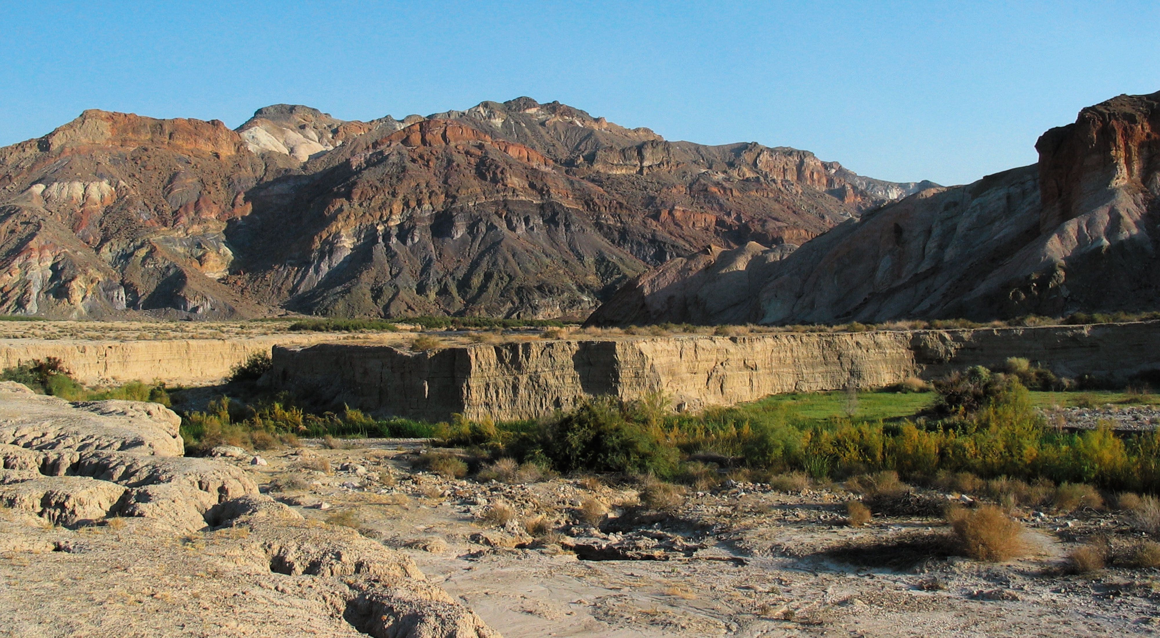
Strung like pearls on a necklace along the Mojave Desert's Amargosa River lies a network of biologically rich conservation sites. The Amargosa River Project contains a vast watershed and groundwater basin supporting a wide variety of rare and unique species and habitats. The landscape consists of patches of unique and isolated dunes, mesquite bosques, springs, seeps, marshes, and riparian habitats, interconnected by expanses of largely intact desert upland scrub.
Location
The nearly 3-million-acre Project Planning Area is located in the northern Mojave desert. Straddling the California and Nevada border, the Amargosa River winds largely underground for 125 miles from the 7,700-foot Pahute Mesa in the southern Great Basin to Badwater Basin in Death Valley National Park, at -282 feet, the lowest point in the continental United States.
Why TNC Selected This Site
Though sparsely populated and largely in public ownership (by Death Valley National Park, Bureau of Land Management, and the U.S. Department of Defense), this region continues to be threatened by potential uses. Approximately 100 miles from Las Vegas, the fastest-growing city and community in the United States, this desert river system is highly susceptible to alterations in spring and groundwater flow. Incompatible residential development and recreational use also fragment and destroy both spring and upland habitats. In addition, invasive and exotic species prey upon and compete for limited desert resources with native species.
What TNC is Doing
Because of the river's functional connectivity and increasing need for coordinated management, The Nature Conservancy has developed a blueprint to guide conservation activities for the entire Amargosa system. By partnering with water, land, and wildlife agencies, we expect to:
- Maintain or restore natural hydrologic variability and natural processes throughout the watershed to sustain key native spring and stream species and habitats.
- Maintain viable populations of native pupfish, speckled dace and Amargosa toads.
- Control and eliminate population levels and extent of exotic and invasive species.
- Protect or restore key linkages between critical spring/seep habitats and upland habitats.
- Restore critical spring and riparian habits to pre-agricultural conditions for native fishes, amphibians and springsnails in Oasis Valley, Amargosa Canyon, Ash Meadows, and Shoshone/Tecopah.
- Coordinate long-term sustainable, ecologically compatible management activities with local public land management agencies.
Plants and Wildlife
Springs, seeps, marshes, and riparian stream corridors comprise the desert oases sporadically distributed along the Amargosa River. More than 100 species targeted for conservation are nested within these natural systems. These wetland habitats, in an otherwise dry and harsh desert environment, are home to nearly 50 unique species found nowhere else in the world. These include the Devil's Hole pupfish, at least eight other subspecies of pupfish and speckled dace, endemic spring snails, native amphibians, such as the Amargosa toad (ranked by the Nevada Natural Heritage Program as globally rare), and endemic beetles.
Ash Meadows, approximately 100 miles west of Las Vegas, likely contains more unique species than any other terrestrial area in the United States. A multitude of species of neotropical migratory birds stop annually at Amargosa Canyon, including threatened and endangered species, such as the Southwestern willow flycatcher, Least Bell's vireo, and the yellow-billed cuckoo.
This planning area represents one of the southernmost examples of pinyon-juniper woodland habitat distribution, providing substantial forage for wildlife. Mojave upland scrub supports a broad suite of upland communities, including creosote bush, shadscale, blackbrush, desert holly, and Joshua tree woodland.
Integrity of these habitats is important for providing not only connectivity between the sensitive riparian and aquatic habitats, but also for quality of groundwater recharge and watershed lands.
