- Phone: 907-531-4239
- Email: alaska@tnc.org
-
Follow


Make a Difference in Alaska
We work in communities to help nature and people. In Alaska, where people and the natural world are so inextricably linked, our approach helps create lasting results. All across the 49th State, The Nature Conservancy is at work protecting the Alaska we know and love.
Focal Area

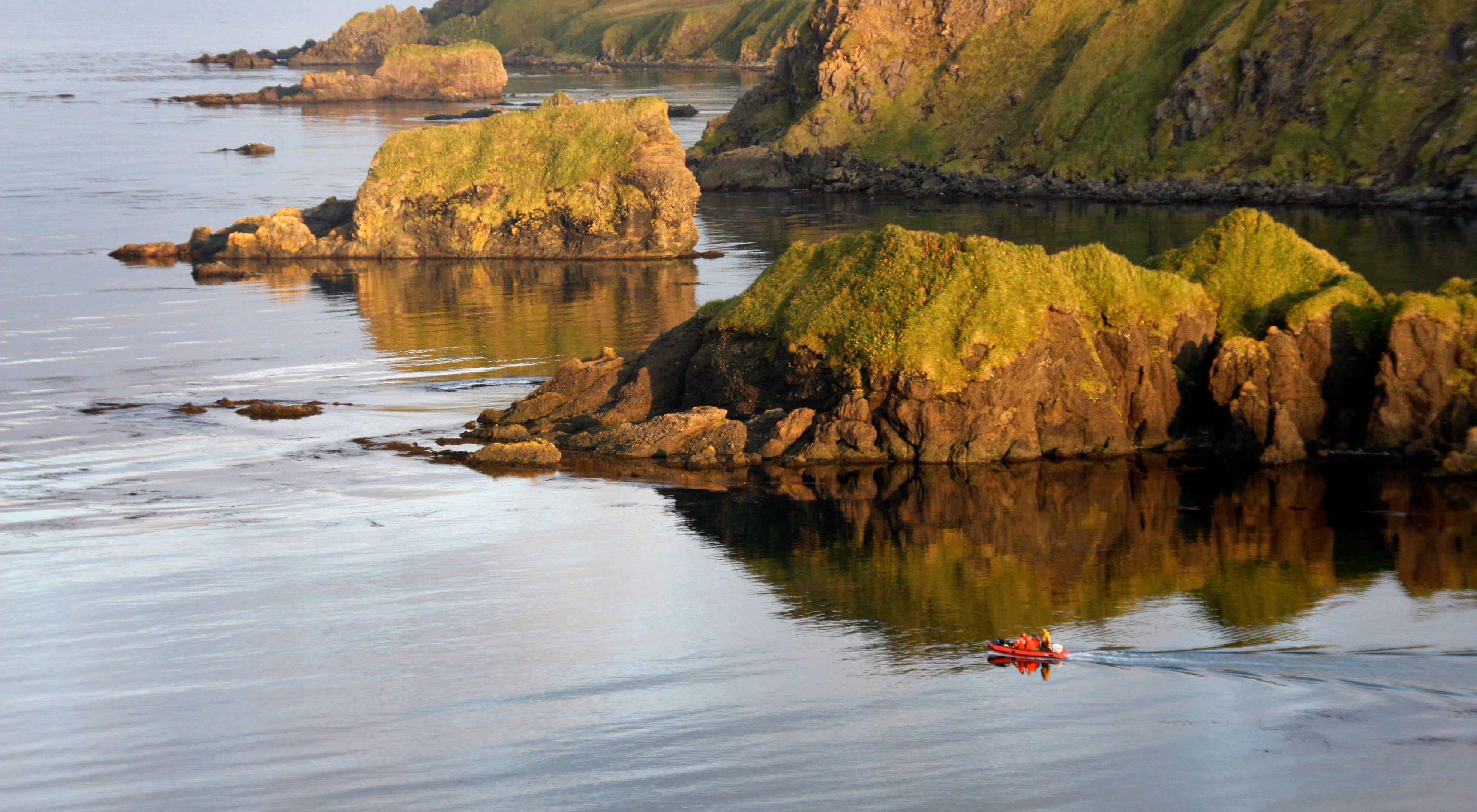
See Alaska’s Incredible Bristol Bay Up Close
Bristol Bay is a place of forests, mountains and tundra—and water. These waters sustain tradition and the communities who’ve long relied on them.

How the Emerald Edge Rainforest Could Help Change the World
In this remarkable forest that stretches from Oregon into Alaska, Indigenous Peoples and local communities are leading the way in showing that conservation and climate action can be done differently.

Ciulistet: A New Program for Bristol Bay’s Next-Gen Leaders
In Alaska's Bristol Bay, questions about the future and how to navigate a changing world share a common thread: The next generation will need to be ready.

Preserving the Last Salmon Run
On the edge of Alaska, a community weighs the future of the greatest sockeye salmon run on Earth.
We Can’t Save Nature Without You
Sign up to receive monthly conservation news and updates from Alaska. Get a preview of Alaska's Nature News email


Program Overview
Our Strategy for Alaska
We envision a future Alaska in which people and nature thrive. This commitment leads us to three focal areas: climate, fisheries and lands.
Alaska Annual Report
We have a globally significant opportunity to make an impact on climate change and biodiversity right here in Alaska. Find out how TNC is working to ensure the state’s wild lands, waters, wildlife and salmon remain vibrant for future generations in Alaska’s 2024 Annual Report.

A Vision for Nature and People in Alaska
The choices we make today will shape the future ahead. For concise summaries of the challenges and opportunities that lay ahead for The Nature Conservancy in Alaska, we invite you to read our Case for Support and Strategic Plan.
Conservation Policy Goals for The Nature Conservancy in Alaska
We work across borders, across sectors and with local partners to protect the lands and waters on which all life depends. We stand committed to a nonpartisan approach.