What Birds Can Tell Us About Conservation
A TNC volunteer and a Kenyan student are applying a novel approach to measuring river health.
Volunteers are critical contributors to The Nature Conservancy’s conservation work. They help build and maintain trails. They work to identify and remove invasive plants. They are community scientists who count migrating fish. They range from students to retirees to Chapter trustees.
And then there’s Dave Courtemanch. Since retiring from the Maine Department of Environmental Protection (MDEP) in 2012, Courtemanch has been an extraordinary volunteer with TNC Maine. His work is so important and consistent that he is recognized as a full-time staff member and holds a title: Freshwater Science and Policy Specialist. It’s no surprise, then, that Courtemanch has been instrumental in applying an exciting new approach to monitoring the effects of conservation strategies—a “biological condition gradient.”

Extraordinary Volunteer
During his more than 40-year career with Maine Department of Environmental Protection, including as the director of environmental assessment, Courtemanch evaluated water quality, conducted river and lake restoration, researched biological effects of water pollution and helped build Maine’s water quality classification system and standards.
From Maine to Kenya…and Back
This story begins not in Maine, but on the Upper Tana River in Kenya, site of TNC’s first African water fund. A water fund is a financial vehicle that allows water users, such as municipal water districts, bottling companies and breweries, to invest in upstream conservation to maintain a pure water supply. While many global communities rely on treatment plants to purify their water (or don’t have access to clean water at all), some have found that protecting water at its source through conservation is a cost-effective solution. Approaches such as planting trees, creating natural buffer zones and teaching farmers terracing techniques can create an improved water supply, a healthier freshwater ecosystem and improved livelihoods for farming families.
The Upper Tana Watershed
-
6,563
square miles is covered by the Upper Tana watershed, roughly the size of Maine's Kennebec River.
-
65%
of Kenya's hydropower comes from the Upper Tana River.
-
90%
of the water supply to 50,000 farms and seven million people is provided by the river.
Within that watershed today, the Upper Tana-Nairobi Water Fund has installed conservation practices on over 44,000 farms with 90,000 acres of farmland under improved soil and water management, and 3.4 million tree seedlings planted, including 1.2 million fruit trees that provide food and income while stabilizing the soil and improving habitat. Of course, this all sounds great–protection and improvement of natural habitat and biodiversity through water funds is a key goal of TNC–but how do we know if it’s working on the Upper Tana? That’s where Courtemanch comes in.
“I thought this might a good place to apply a tool called the biological condition gradient,” says Courtemanch. “And our partners in Kenya thought it was a good idea as well.”
A Useful Measurement
Developed by the USEPA to monitor the effects of the Clean Water Act, the biological condition gradient, or BCG, uses information gathered about whether or not various indicator species are present to assess the condition of different habitats. Placed on a scale (or gradient) from natural to highly degraded, or not stressed to heavily stressed, the result is a somewhat rough but organized assessment of the biological conditions of the area being studied that can be readily interpreted by anyone with a basic understanding of ecosystem functions.
Quote: Dave Courtemanch
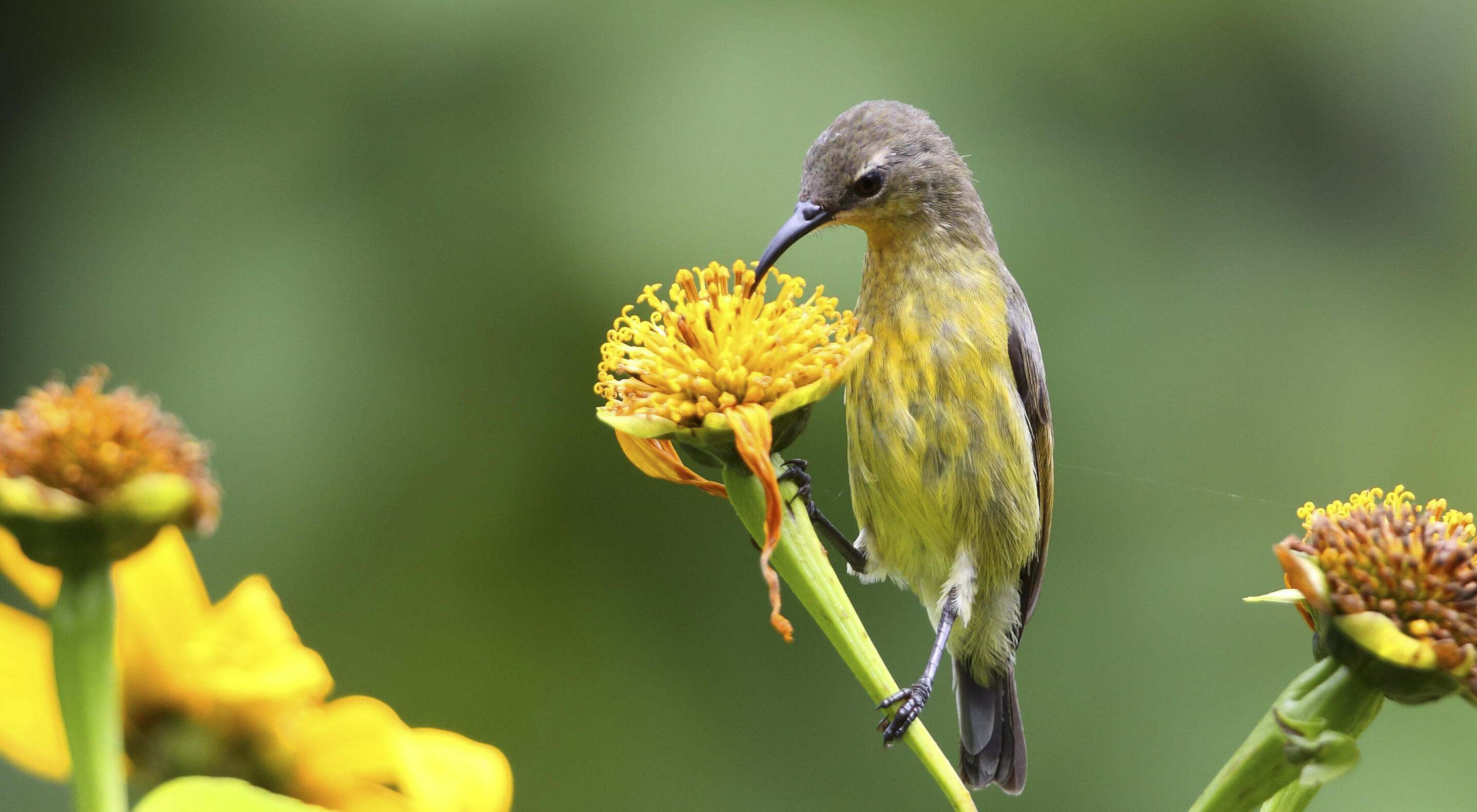
Aquatic organisms have always been used for the BCG, but birds are easier to observe and identify.
Courtemanch connected with the National Museums of Kenya (NMK) to build a standard aquatic Biological Conditions Gradient using fish and bugs. However, NMK asked to also include a model using birds. NMK has a lot of information about birds in the country collected through the Kenya Bird Map Project, a community science effort. This led Courtemanch to reach out to Mac Hunter, professor emeritus of wildlife ecology at the University of Maine and a former TNC trustee.
Hunter reviewed the proposal and was intrigued enough to connect Courtemanch with the U.S. Geological Survey’s cooperative research unit at the University. Ultimately, a doctoral student, NMK ornithologist and Kenyan native, Edwin Njuguna, was recruited for the project. Njuguna will be using Kenya Bird Map Project data to develop the BCG for the Upper Tana—the first use of the BCG outside the U.S. and the first using birds.
“As an environmental studies student I went to the museum (in Nairobi) to learn about birds and I never left,” says Njuguna with a smile. “Now it’s birds, birds, birds everywhere I go!”

“Aquatic organisms have always been used for the BCG,” adds Courtemanch, “but birds are easier to observe and identify, so this will add a lot of information for Edwin to build on and the opportunity to engage local community birdwatchers in gathering data.”
With funding from TNC, the University of Maine, and a Dirigo Fellowship, Njuguna will be working on the project for the next four years. The object is to identify what bird species are found where and using what is known about the habitats each species frequents and which factors allow them to thrive or not. Njuguna will then build a model that will give us a “birds-eye” assessment about the changes to the land surrounding the river and waters within it. This modelling is an important step in learning about the water fund’s effectiveness toward improving habitat quality and biodiversity.
“I’m really looking forward to this,” says Njuguna. “I’m very interested in using conservation to help communities, and this is a great example of that.”
“It all just started with an idea,” recalls Courtemanch. “It’s very exciting to see if it can develop into a method that might be useful for TNC projects in other places as well.”

Kenya Bird Map Project
The Kenya Bird Map project aims to map the current distribution of all of Kenya’s bird species and describe their status with the help of valued input from volunteer members of the public who would like to contribute through birding and submitting observations to the project. By pooling the efforts of many birders, the project tells the story of changing bird distributions and abundance.


