Places We Protect

Queen's River Preserve

Rhode Island

A small river winds through open woodlands, reflecting the white clouds and blue sky above.
Queen's River Preserve Rich in biodiversity, the Queen's River is part of the Wood-Pawcatuck National Wild and Scenic River system. © Tim Mooney/TNC

This preserve has reopened after a wildfire swept through the area on April 14. Trails cross charred areas, but nature is slowly recovering.

Overview

Description

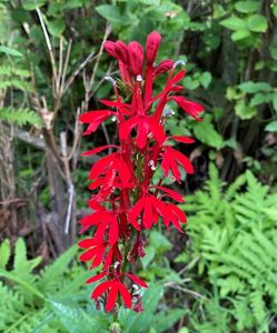
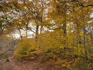
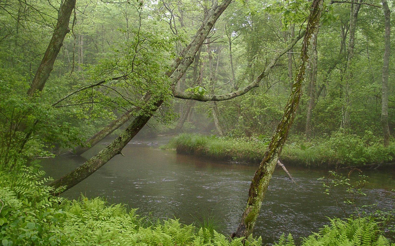
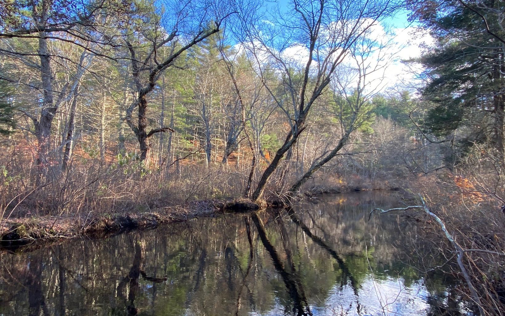
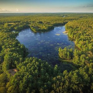
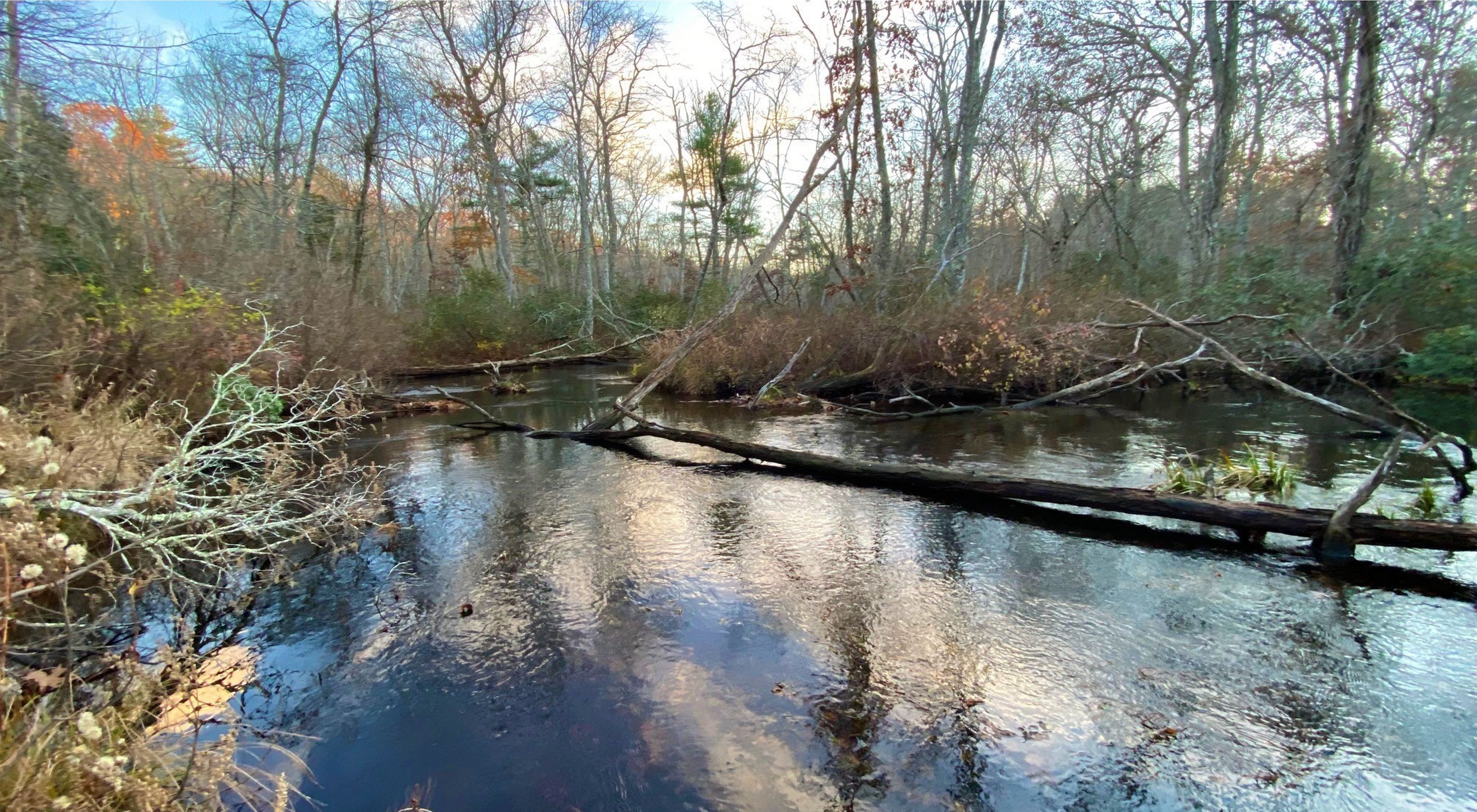
The Queen’s River Preserve offers a short, easy hike to one of Rhode Island’s most pristine rivers. The Queen's River—cold and largely forested—forms the western boundary of the preserve. 

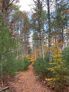
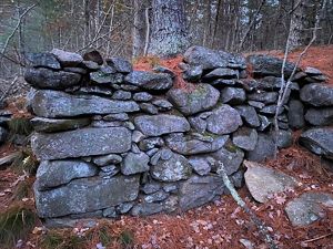
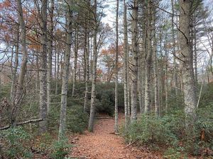
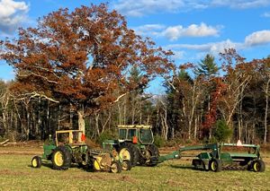
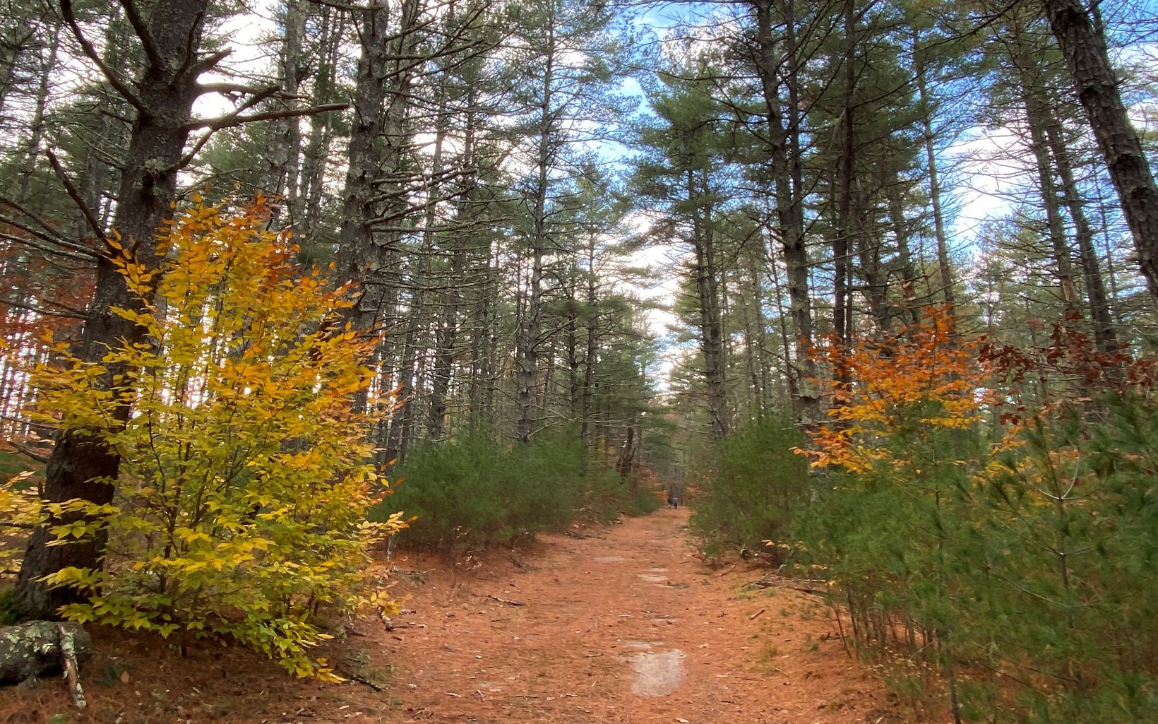
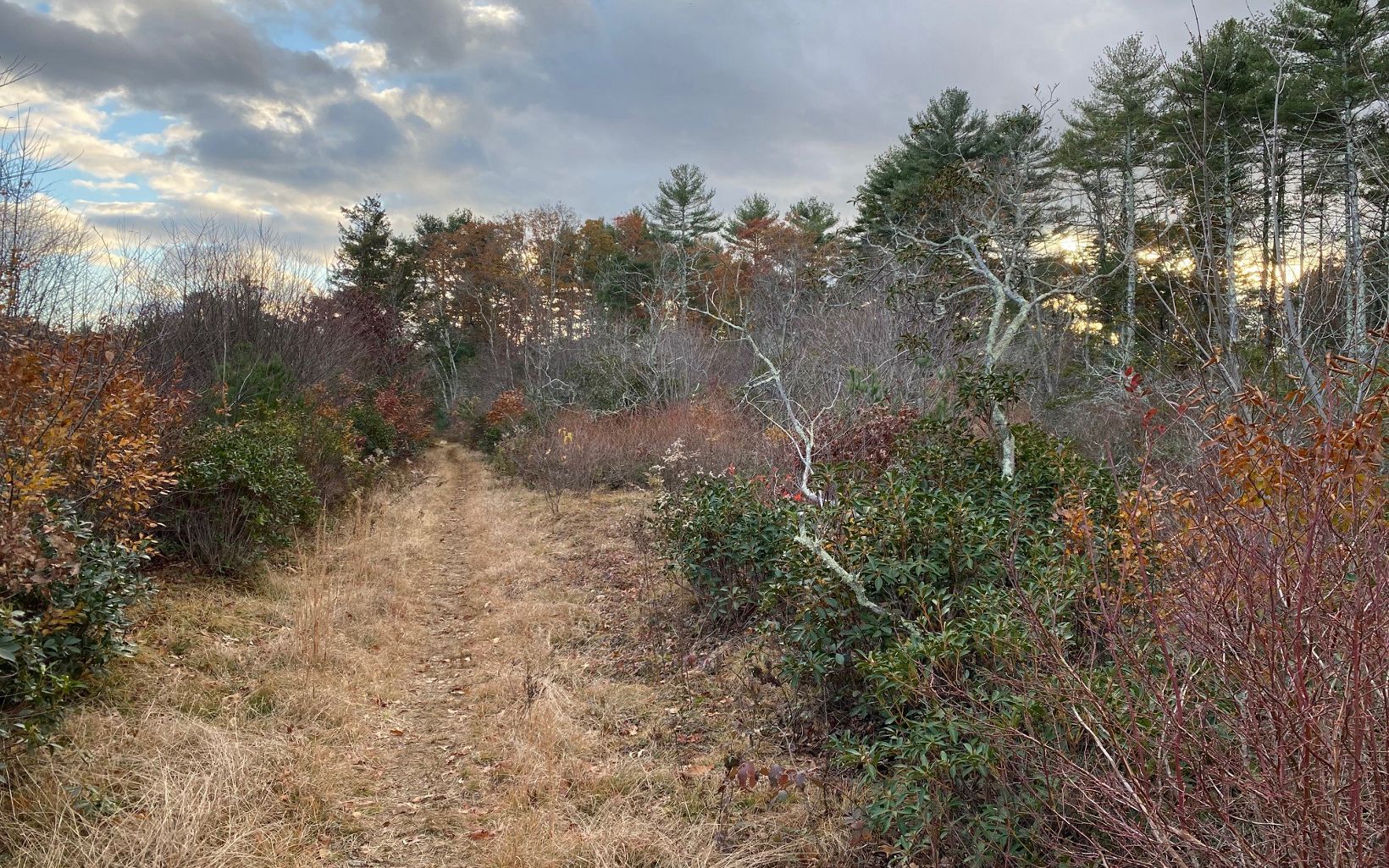
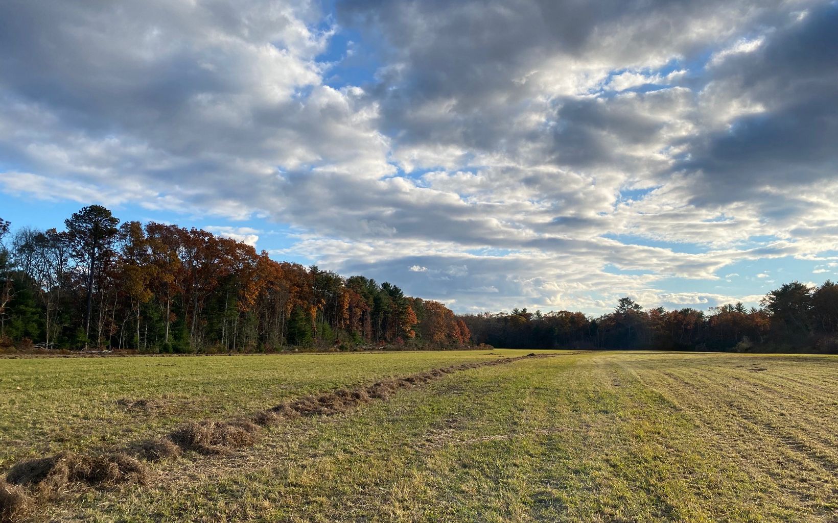
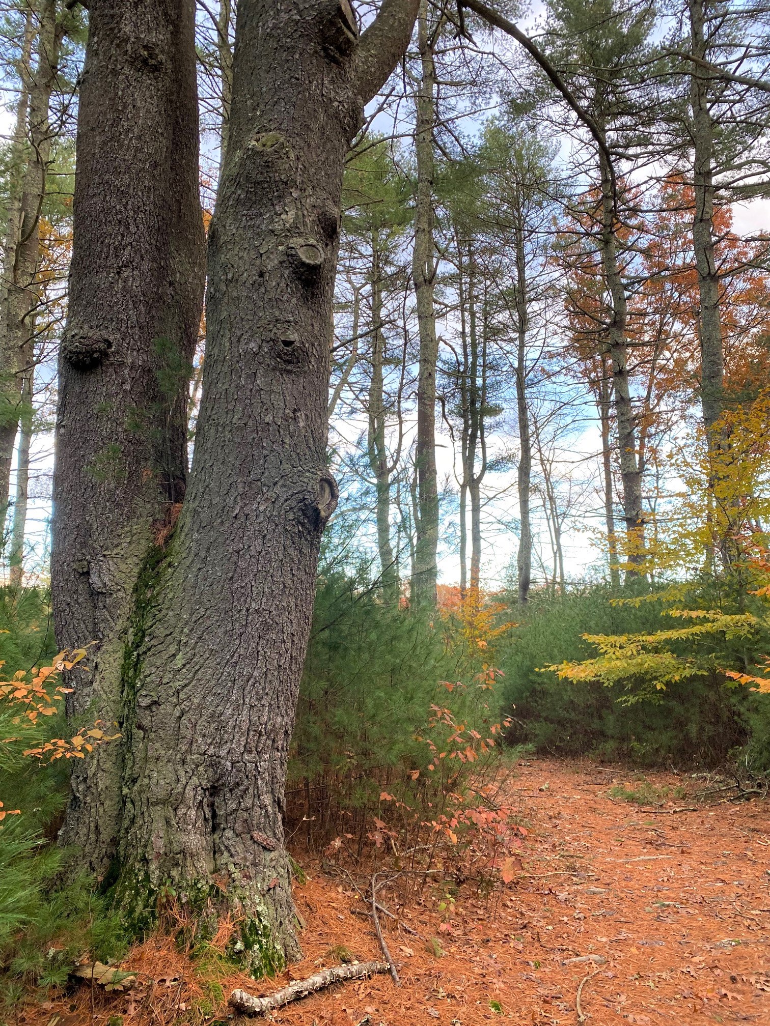
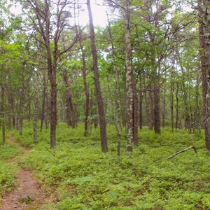
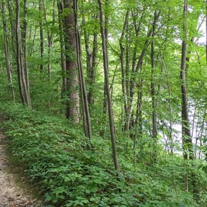
Old town roads now serve as wide, flat hiking trails that wind through tall pine woods. Highlights include a historic cemetery, two places from which to view the Queen’s River, and a long, open hayfield that is actively managed by a local farmer. Two small stone foundations lie just off the main trail, hidden in plain sight.

Dogs must be leashed at all times.

The Queen’s River Preserve is open to archery hunting for deer, under rules updated annually by RIDEM. Hikers are required to wear fluorescent orange from September 15 to January 31. Fishing is not permitted.

Access

OPEN TO THE PUBLIC

Hours

Open year-round during daylight hours.

Highlights

Birdwatching, hiking, historic cemetery

Size

188 acres

Explore our work in Rhode Island

Photos from Queen's River Preserve

Tag your preserve visits on Instagram with #QueensRiver to have your photos featured here!

Bright red flowers arranged tightly on a single, 2-foot-tall stalk, with green ferns in the background.
Pine trees of different heights encroach on a narrow dirt path through the woods.
Five men in chest waders and t-shirts wade knee-deep in a small river, carring nets and scientific equipment.
The sun sets between distant pine trees, with dried goldenrod seed heads glowing in the foreground.
Corner of a tightly packed, gray stone foundation with pine trees growing above it.
A red squirrel sits upright on a small rock.
Large pink orchid on a tall stalk with two large green leaves at the base.
A forest path curves through tall pines and dense mountain laurel.
A low hillside covered with large and small American beech trees, with golden foliage
A tractor and hay baler, both green and yellow, rest in an open hayfield in front of a large oak tree with autumn foliage.

Visit

  • Parking for approximately eight cars is available at a wide turn on School Land Woods Road. Look for an orange and white Queen's River Preserve entrance sign, next to a gated dirt road. The trailhead kiosk is just inside the gate. 

  • The entrance to the preserve is located on School Land Woods Road. A trailhead kiosk greets visitors with an introduction to the preserve and its hiking trails. The trail system follows the tracks of old town roads that are gradually being reclaimed by the forest.

    The main trail, once called Dawley Road, is a wide, flat, dirt path running west to the Queen’s River. Shaded by pine trees, it passes a shallow cellar hole and two small clearings. The trail ends at the bridge. The land on the opposite side is privately owned and is not open to the public.

    Returning from the river, visitors can turn right opposite an open, sandy area on the left. This trail follows the old Hathaway Road, running south through stands of pine and mountain laurel. Look for the Sherman Burial Ground on the right side.

    Along this trail you will also walk through an area that was cleared by TNC to promote the growth of grasses and shrubs that attract bluebirds and other songbirds. An open hayfield lies beyond it. You can extend your walk by turning right at the dedication sign for Howard's Trail, which leads back toward the Queen’s River. After retracing your steps back to the main trail, the next right turn offers a second, longer view of the hayfield.

    A round-trip hike to the two river lookouts and back is about two miles. 

  • The Queen's River Preserve helps connect more than 2,500 acres conserved by TNC, DEM and the Audubon Society of Rhode Island. Together, they provide habitat for a wide range of plants and animals. 

    Plants: Along the main trail, a young forest of pitch pine and white pine is rebounding after a forest fire burned through the area in the 1950s. Elsewhere, larger white pines and oaks are dominant, with dense thickets of mountain laurel on Howard's Trail. Red maples and white oaks overhang the Queen’s River and the leafy canopy helps keep the river cold. The preserve is known for the numerous pink lady’s-slipper orchids that bloom in late spring.

    Birds: The Queen’s River Preserve is an important stopover site for many songbirds during spring migration. Scarlet tanagers, Baltimore orioles, blue-gray gnatcatchers and many warblers rely on the preserve to rest and refuel. Summer nesters include eastern bluebirds, wood ducks, and pine warblers.

    Animals and Insects: Common woodland mammals in the area include white-tailed deer, eastern coyote, fisher, mink, and raccoon. The preserve's streams and wetlands provide excellent habitat for frogs and salamanders. In summer, ebony jewelwing damselflies, with vivid emerald green bodies and velvety black wings, flutter about the stream banks.

  • We hope you enjoy visiting TNC's  preserves in any season. We ask that you please observe the following guidelines:

    • Stay on marked trails.
    • Dogs are permitted but must be leashed at all times. 
    • Respect preserve hours (one hour before sunrise to one hour after sunset). Overnight camping is not allowed.
    • Do not ride horses, bikes or any motorized vehicle through preserve or on the trails.
    • Do not remove any living materials from a preserve or disturb any vegetation.
    • Remove any trash you create and, if possible, any garbage that you see left by someone else.
    • In the spring, summer and fall, dress in long pants and socks to avoid deer ticks. After any walk on a preserve, it is a good idea to check for ticks when you return home.
    • Be careful! Your safety is your responsibility.
A large pine tree beside a shady trail.
Wolf Tree Large, solitary trees suggest the area once cleared for pasture and is now reverting to forest. © Tim Mooney/TNC

History

The Queen’s River Preserve is located on the traditional homelands of the Narragansett-Niantic people. The river's name refers to Queen Quaiapen, a powerful Niantic sachem. In 1675, during King Philip’s War, she took refuge with her followers nearby at Queen’s Fort, following an attack by colonial raiders. The next summer, she led her people north and was killed in a subsequent attack in what is now North Smithfield. Quaiapen was the last Narragansett-Niantic leader to be captured or killed during the war. Source: Tomaquag Museum

TNC began conserving the land along the river in the late 1990s, in partnership with local landowners. Today, TNC continues to work with partners to conserve land in the Queen's River watershed, focused on limiting development and maintaining cold water habitat by keeping the forest canopy intact. In 2017, TNC and DEM protected the 400-acre Adams Farm, a working farm that contain two tributaries to the Queen’s River, downstream of the preserve.

The preserve's hayfield is leased to a local farmer, helping to maintain the town of Exeter's rural character.

Nearby Preserves

Need more nature? Visit The Nature Conservancy's other preserves.

Find More Places We Protect

The Nature Conservancy owns nearly 1,500 preserves covering more than 2.5 million acres across all 50 states. These lands protect wildlife and natural systems, serve as living laboratories for innovative science and connect people to the natural world.

See the Complete Map

Support Our Work

Your contributions help us continue our conservation work in Rhode Island.