Places We Protect

El Dorado Coastal Preserve

New York

A bird flying over the shoreline of Lake Ontario.
El Dorado Beach Preserve Choppy waters at the preserve © The Nature Conservancy

The forces of nature shaped El Dorado's beautiful shoreline.

Overview

Description

PLEASE NOTE: Portions of El Dorado, including the beach and rocky shore, are closed to provide critical habitat for coastal wildlife. Please remain on the trail and observe all closure notices. Closures are enforced.


Acquired in 1969, El Dorado Coastal Preserve is one of The Nature Conservancy’s first conservation areas in central New York.

Learn more about the wonders of El Dorado via the tabs above.

Access

Limited Access

Closed to the public during rifle season (10/21/2023-12/3/2023).

Highlights

Bird Watching, Sand Dunes

Explore our work in this region

Visit

  • El Dorado Coastal Preserve is open from dawn to dusk and closed to the public during hunting season. See the “Hunting Information” tab for further details.

  • Plants: Inland areas of El Dorado Costal Preserve are home to formerly grazed alvar, or sparse grassland vegetation. Cedar woods are spotted with smaller grassland openings and seasonal wetlands.

    Wildlife: The rich blooms of algae in the shallow offshore shoals support dense populations of crustaceans, insects and other invertebrates. These small animals provide the food base that supports the abundant birdlife. On land, keep an eye out for monarch butterflies, reptiles, amphibians and deer. 

    Migratory birds are the specialty here. From July through September every year, a large and diverse concentration of migratory shorebirds stops at El Dorado on its journey between James Bay in Canada and wintering grounds in Central and South America. Excellent viewing of the rocky shore along the north end of the preserve is available at the bird blind, which can be reached from the trail. It provides a great vantage point for viewing ducks, terns and, in the fall, shorebirds. To protect birds and bird habitat, please do not walk directly along the shore. In the interior wetland areas, you will find water birds, waterfowl and song birds. Impressive concentrations of migrating flycatchers, warblers, vireos and sparrows are here from early August through early October.

  • El Dorado Coastal Preserve is open during hunting season (Sept 27 – Dec 12). Written permission is required to hunt on Conservancy lands. To learn more about our hunting program or to obtain permission to hunt, please visit our New York hunting information page.

  • Visitors are welcome to enjoy our 1.4-mile trail (but please watch your step, the trail is wet and slippery in spots). The trailhead is located at the grassy parking area.

  • El Dorado's beautiful shoreline was shaped by dramatic forces of nature. It all began about 20,000 years ago when the one-mile-thick ice sheet that covered most of New York State began to melt. Torrents of meltwater poured out of the retreating ice sheet and with it came sediment of all shapes and sizes. Sand, gravel, and enormous boulders that were once encapsulated in the ice were now flowing across the landscape.

    Eventually, the meltwater pooled into a giant lake, called Lake Iroquois. This pre-historic lake was about three times the size of modern-day Lake Ontario. 

    Over time, the lake level receded to its present size. Lake currents moved sand deposits along the lake’s southern shore toward the lake’s eastern shoreline. Westerly winds and waves transported sand from this underwater sandbar and piled it up to form dunes along the beach. This process of dune formation still occurs today.

    This freshwater dune barrier system along Lake Ontario is one of the Conservancy's first conservation areas in central New York, acquired in 1969.  It is now part of our Eastern Lake Ontario priority conservation landscape, a 17-mile stretch of Eastern Lake Ontario that contains the largest and most extensive freshwater dune system in New York.

  • Please help us protect the incredible plant and wildlife at El Dorado by observing the following:

    • Please stay off the fragile sand dunes.
    • Motor vehicles, bicycles, fishing, trapping and swimming are not allowed.
    • Please don’t collect or disturb plants, birds or wildlife.

    See our full preserve visitation guidelines for more information. 

Our Collaborative Work

The Nature Conservancy has worked cooperatively with the NYS Department of Environmental Conservation and New York Sea Grant to establish an educational program that helps inform beachgoers and other recreational users how they can enjoy their visit to Eastern Lake Ontario without impacting the dunes, birds, or wildlife.

Every summer, five dune stewards patrol the 17 miles of Eastern Lake Ontario beaches, reminding people to stay out of the dunes, keep their dogs leashed and avoid areas set aside for birds and wildlife. 

A snow-covered, rocky coastal shoreline and water.
El Dorado Dusk over El Dorado's coastal shoreline. © Jason Hunter

Restoring Natural Flows

For more than 60 years, a hydroelectric dam and an outdated management plan that failed to take nature into account controlled the flow of water from Lake Ontario eastward through the St. Lawrence River.

When the bilateral U.S.-Canadian panel that manages the lake’s water levels and flow, the International Joint Commission, began devising better ways to regulate the movement of water through Lake Ontario and into the St. Lawrence River, The Nature Conservancy in New York took an active role on advisory committees and later, as part of a broad-based coalition, advocated for the IJC’s new plan.

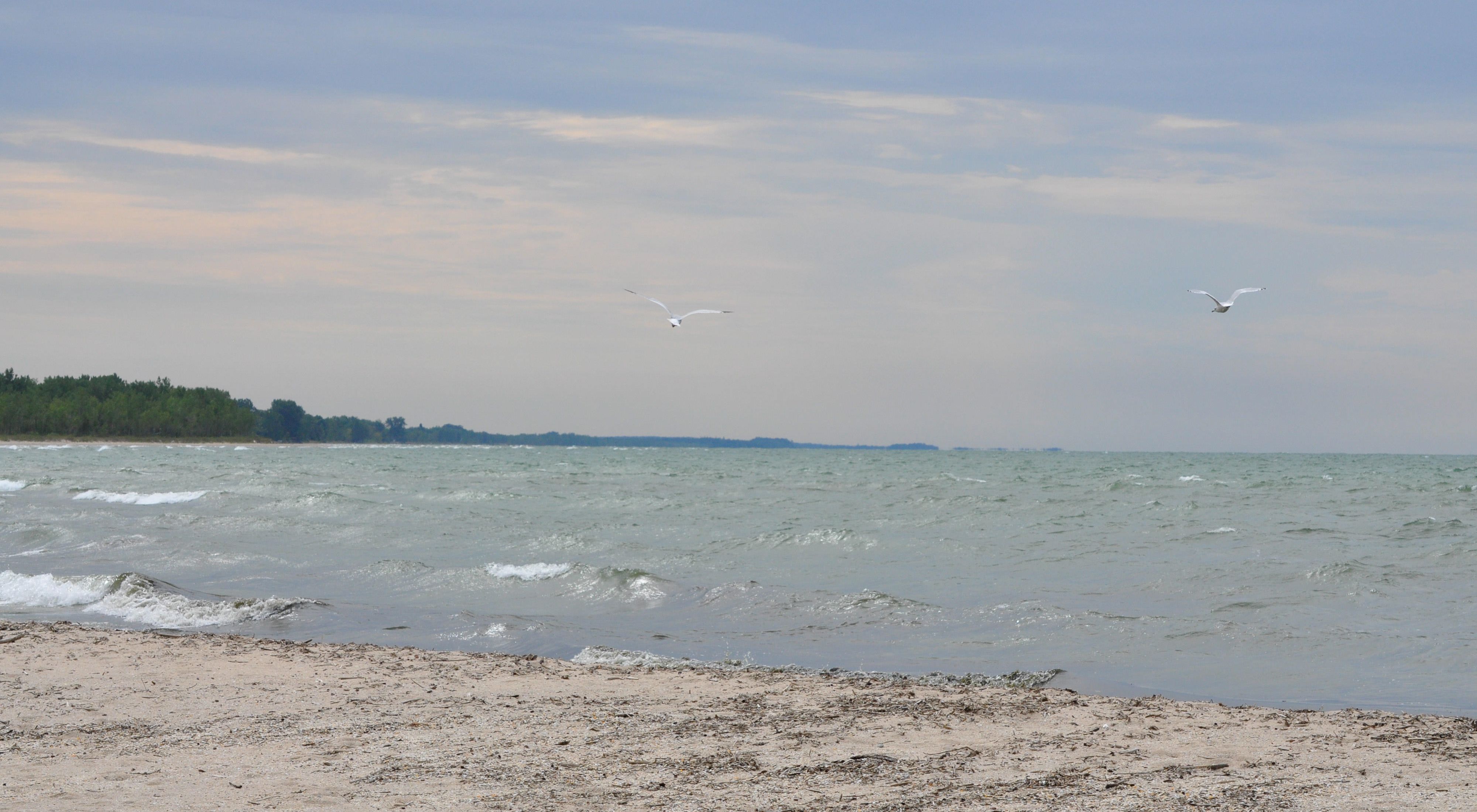
Implemented in 2017, this plan attempts to mimic the natural flow of water through the waterway and is helping restore 64,000 acres of the lake’s freshwater wetlands. (It’s the country’s second-largest wetlands restoration project, after the Everglades.) That’s good news for the birds, fish, and plant species that make Lake Ontario’s freshwater wetlands their home. It’s good for people and our climate, too: Freshwater wetlands are critical habitats that help filter drinking water, absorb high water during storms, and store more carbon than even forests do.

The 2017 management plan offers additional climate benefits by increasing electricity generation from the St. Lawrence dam, with a carbon savings equivalent to taking 8,700 cars off the road. And the 2017 plan is paying off in other ways, too. New Yorkers now get $12 million in economic benefits a year, thanks to increases in hydroelectric production, tourism and outdoor recreation.

Of course, this work is just one aspect of the Conservancy’s efforts to restore and safeguard Lake Ontario and the St. Lawrence River’s ecosystem—efforts that include using advanced scientific tools to track the presence of native and invasive aquatic species and restore habitat in this essential part of the largest freshwater system on Earth. 

Find More Places We Protect

The Nature Conservancy owns nearly 1,500 preserves covering more than 2.5 million acres across all 50 states. These lands protect wildlife and natural systems, serve as living laboratories for innovative science and connect people to the natural world.

See the Complete Map