- Phone: +1 602-712-0048
-
Follow


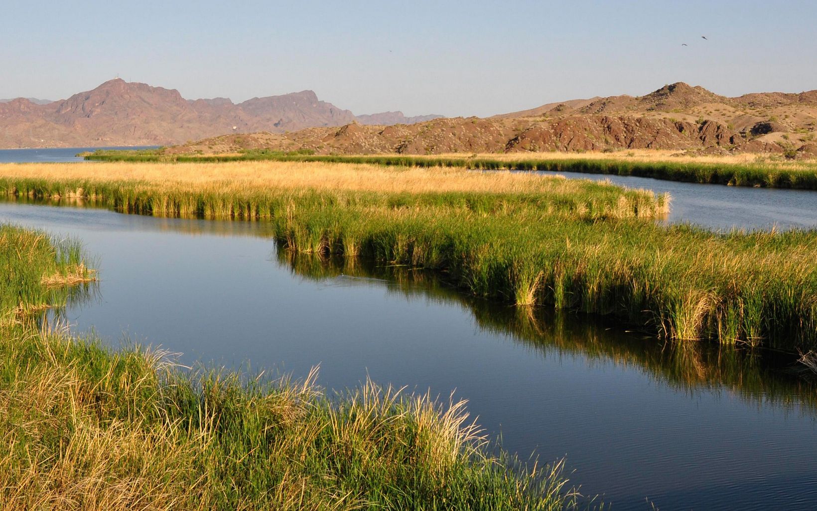
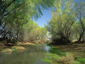
The Bill Williams River in Arizona has the largest native woodlands along the lower Colorado River.
Overview
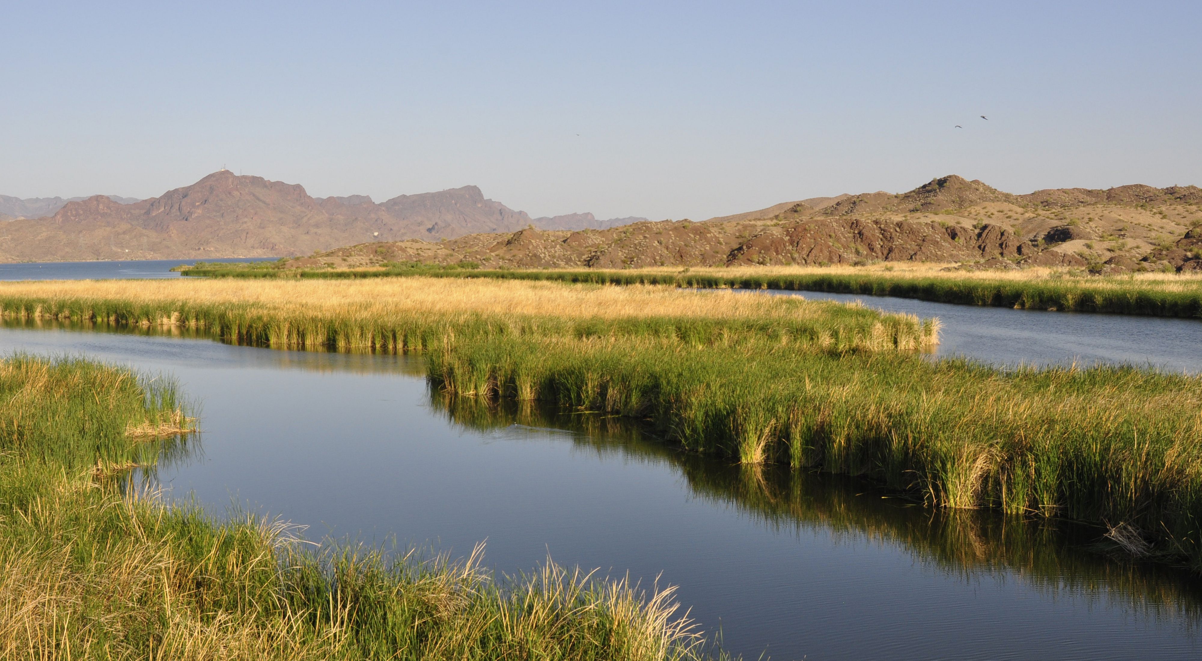
Formed by the confluence of the Big Sandy and Santa Maria rivers—just upstream of Alamo Lake—the Bill Williams River in western Arizona flows approximately 45 miles to the Colorado River. Its watershed contains an area larger than the state of Connecticut. Year-round flows on the three rivers and their tributaries support long, continuous strips of cottonwood, willow and mesquite woodlands that are home to a wide array of wildlife, including more than 350 species of birds.
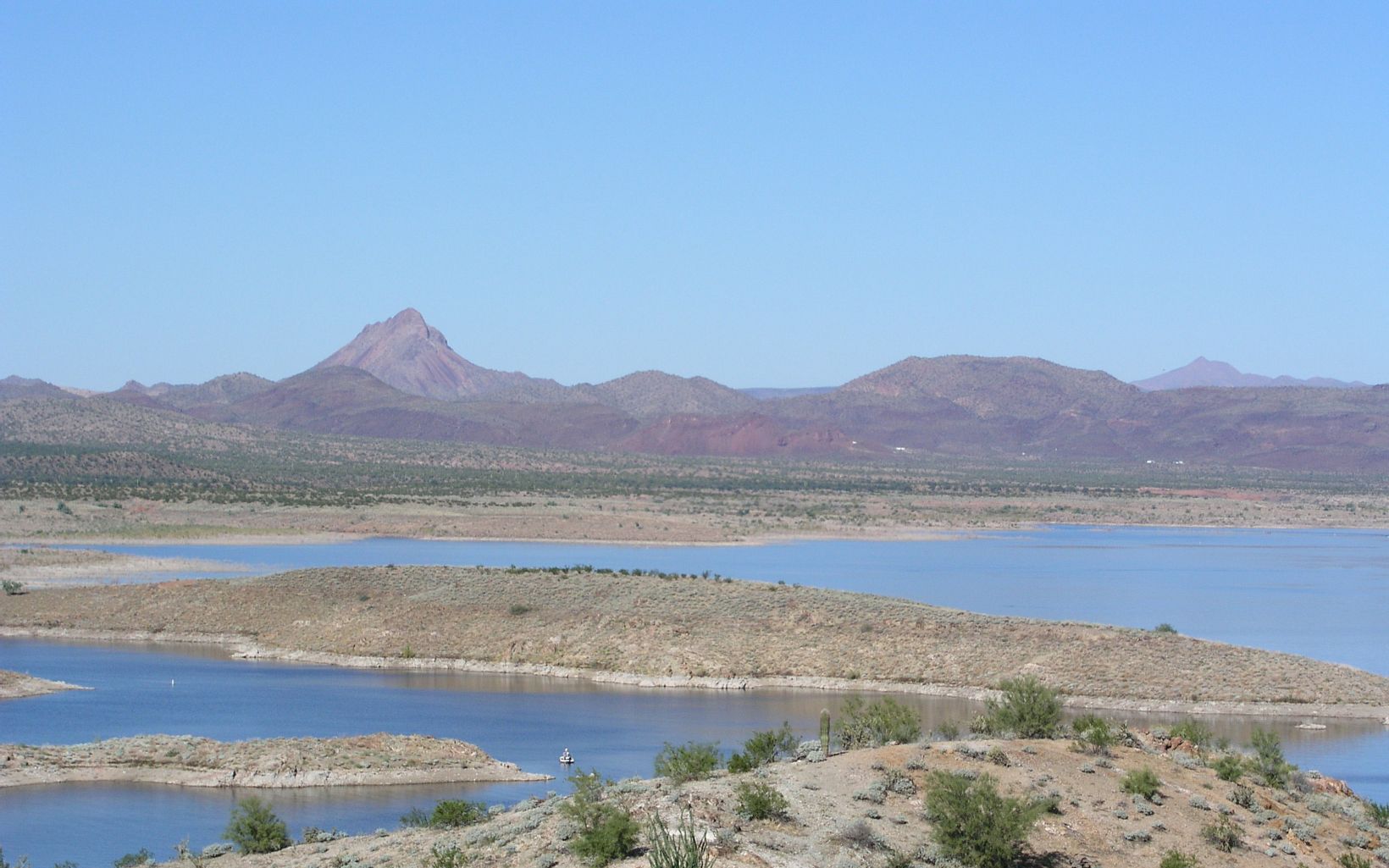
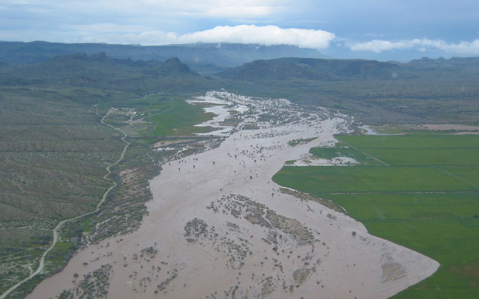
In 1969, Alamo Dam was completed to reduce flooding on the Bill Williams River. The dam created Alamo Lake, which receives all flows from the Big Sandy and Santa Maria rivers. The dam, located in a watershed that’s subject to both long droughts and large floods, significantly changed the woodland habitat downstream from the dam. In years of drought, the dam slowly accumulated and held all the water that flowed into it, leaving the Bill Williams—and the habitat it sustained—completely dry. In years of severe flooding, the gates at the dam were left open for months at a time, releasing a steady, high level of water that left the habitat downstream completely inundated. Both cases had devastating effects. Within a couple of decades, most of the forests that lined the Bill Williams had disappeared.
Perhaps the effects of the dam were most noticeable at the Bill Williams River National Wildlife Refuge, which was created in 1941 and expanded with assistance from The Nature Conservancy in 1977. Today the refuge spans more than 6,100 acres, stretching along the lower 12 miles of the Bill Williams and encompassing its confluence with the Colorado River. Thanks to changes in which water is released from Alamo Dam, the refuge is now described as containing the last extensive native forest and plant community along the lower Colorado River.
In the early 1990s, the Bill Williams River Corridor Steering Committee was formed to help manage water flows from Alamo Dam in a way that could restore habitat downstream, and to resolve conflicts that might arise. Their efforts culminated in the 1994 endorsement of a new approach to managing Alamo Dam and the issuance in 2003 of a new Water Control Manual by the U.S. Army Corps of Engineers, which manages the dam.
In 2002, the Bill Williams River became one of eight rivers used to demonstrate the benefits of the Sustainable Rivers Project, a collaboration between the Conservancy and the Corps of Engineers. The project uses science to guide dam operations in ways that mimic a river’s natural flow patterns. The goal is not to match exactly the pre-dam conditions, but to restore critical ecological processes, like fish migration on Oregon’s Willamette River, or—in the case of the Bill Williams—growing and sustaining cottonwood and willow trees. So far, the project is demonstrating that science-guided adjustments to dam operations can benefit nature while maintaining—or even increasing—other services, such as hydropower generation, water supply, recreation and flood risk management.
The Conservancy is working with the Corps of Engineers to implement lessons learned through the Sustainable Rivers Project at all of the more than 650 dams the Corps operates. Considered the largest manager of water in the world, such action by the Corps would have the potential to influence the way other dams around the globe are operated.