Places We Protect

Northern Tallgrass Prairie

Minnesota

A group of hikers walks next to a stream on the Northern Tallgrass Prairie NWR.
Minnesota Prairie Hike: Thanks to members and Minnesota’s Legacy Fund, TNC has helped protect more of the state’s prairies, forests and wetlands. © Richard Hamilton Smith

The Northern Tallgrass Prairie National Wildlife Refuge protects critically important and endangered grasslands habitat in Minnesota.

Overview

Description

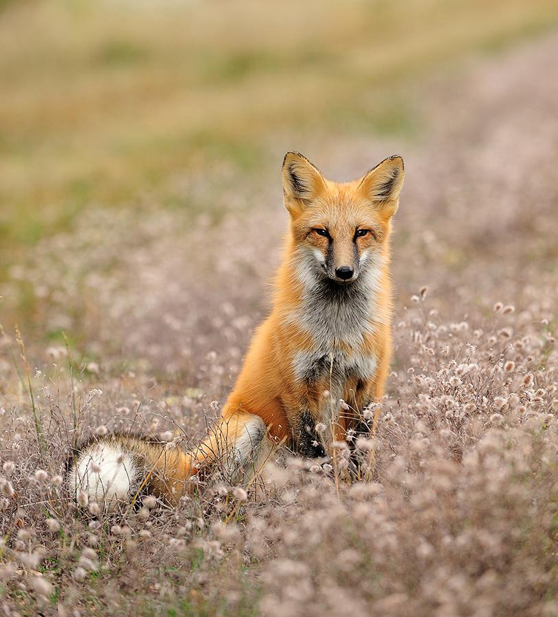
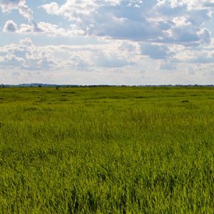
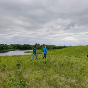
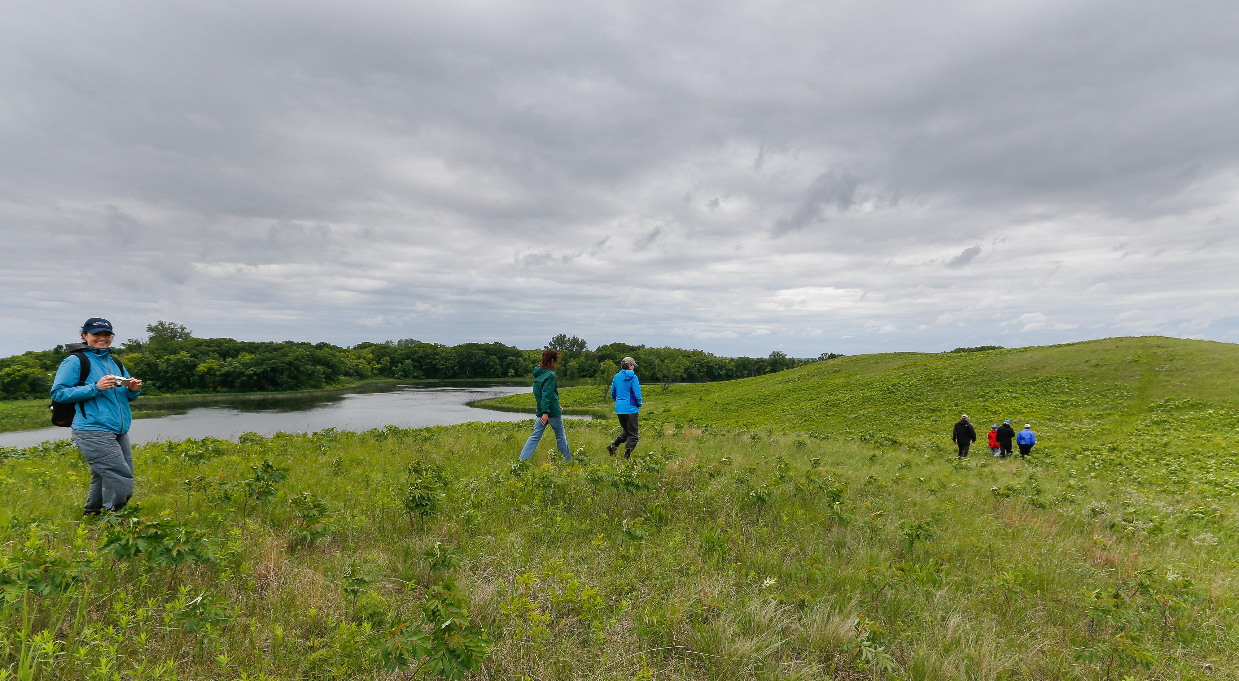
Grasslands are one of the most endangered and least protected habitat types on Earth. Native prairie once covered as much as 18 million acres in Minnesota. Only about 235,000 acres of prairie remain today in the state.

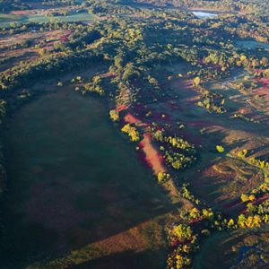
The Nature Conservancy acquired 2,563 acres in Minnesota that have been added to the Northern Tallgrass Prairie National Wildlife Refuge. The refuge was established in 2000 to address the loss of America’s grasslands and the decline of grassland wildlife.

Access

OPEN TO THE PUBLIC

Explore one of the most endangered habitats on the planet.

Highlights

Hiking, nature photography, birdwatching, fishing, hunting

Size

2,563 acres

Explore our work in Minnesota

Visit

    • Birdwatching
    • Cross-country skiing
    • Hiking
    • Nature study
    • Photography and videotaping for personal use (if for commercial use, you must obtain permission from TNC first)
    • Snowshoeing
    • Fishing
    • Hunting
  • To minimize disturbance to wild places, we do not maintain trail infrastructure or facilities, and you will not find any staff on duty at the preserves. Therefore, we ask you to prepare for your visit and take proper precautions while on site.

    • Wear comfortable footwear suitable for hiking.
    • To protect yourself from ticks, poison ivy or poison sumac, wear long pants, and tuck them into your socks.
    • To get the most from your visit, and to protect yourself from the elements, you may want to bring the following items:
      • Binoculars
      • Camera
      • Compass
      • Field guides (to wildflowers, birds, butterflies and other natural features)
      • Insect repellent
      • Rain gear
      • Small first aid kit
      • Snack (fruit or trail mix)
      • Sunscreen
      • Water (dehydration is a serious risk at any time of the year)
    • Bartels Unit: Portion of the SE 1/4 of Section 20, Rose Dell Township, Rock County; 96°22’18” W 43°47’35” N (43.793098° -96.371778°)
    • Brandenburg Prairie Unit: Portions of SE ¼ of Section 18, Mound Township, Rock County; 96°16’21”W  43°43’34”N  (43.726093°  -96.272660°)
    • Brenner Lake Unit: NW 1/4 of Section 6, Norway Lake Township, Kandiyohi County; 95°15’18” W 45°24’34” N (45.409545° -95.254907°) 
    • Cramlet Unit: Portion of the SW1/4NW1/4 and NW1/4SW1/4 of Section 34, Langhei Township, Pope County; 95°33’43” W 45°25’20” N (45.422368° -95.561873°)
    • Flickertail Prairie Unit: Portion of the E 1/2 of Section 34 and a portion of the NW1/4 of Section 35, Hagen Township, Clay County; 96°22’24” W 47°4’43” N (47.078594° -96.373367°)
    • Forstrom Unit: Portions of NW ¼ of Section 10, Norway Lake, Kandiyohi County; 95°11’16”W  45°23’54”N  (45.398363°  -95.187906°)
    • Harris Trust, et al. Unit: SE 1/4 of Section 32, Nora Township, Pope County; 95°43’2” W 45°40’37” N (45.677035° -95.717341°)
    • Hoffman Unit: N ½ NE ¼ of Section 35, Langhei Township, Pope County; 95°31’52”W  45°25’36”N  (45.426571°  -95.531000°)
    • Holland Braton Unit: Portion of the SW 1/4 of Section 32, Humboldt Township, Clay County; 96°24’13” W 46°37’51” N (46.630840° -96.403569°)
    • Hopp Unit: Langhei Township, Pope County; 95°36'10.715"W  45°25'23.981"N (45.423328° -95.602976°)
    • Mears Unit: Portions of NW ¼ and N ½ NE ¼ of Section 14, McKinley Township, Kittson County; 96°34’12”W  48°56’53”N  (48.948364°, -096.570258°)
    • Pavia Unit: Portions of SE ¼ of Section 28, Lake Ida Township, Norman County; 96°23’9”W  47°15’10”N  (47.252831°  -96.385848°)
    • Pell Creek Unit: Portions of SE 1/4 of Section 12, Holly Township, Murray County; 95°27’45”W 44°10’24”N (44.163380°, -095.462657°)
    • Spieker Unit: Portions of NE 1/4 and W 1/2 of the SE 1/4 of Section 2, Riverton Township, Clay County; 96°26’31”W  46°53’12”N  (46.886858°, -96.441935°)
    • Storm Unit: Portions of N 1/2 of Section 35, Pelan Township, Kittson County; 96°25’41”W  48°38’11”N  (48.636542°, -096.428114°)
    • Syverson Unit: Portion of NE 1/4 Section 32, Nora Township, Pope County; 95°43’2” W 45°40’48” N (45.680106° -95.717276°)
    • Woolcott Unit: N 1/2 of the NW 1/4 of Sec 7, Colfax Township, Kandiyohi County; 95°7’20” W  45°23’47”N  (45.396321°  -95.122199°)
    • Myers Unit: Portion of the SW1/4 of Section 5, Norway Lake Township, Kandiyohi County; 95°13’37.514” W 45°24’12.499” N (45.403472° -95.227087°)
    • Okke Unit: Portion of the N1/2 of Section 11, Riverton Township, Clay County; 96°26’49.659” W 46°52’32.866 N (46.875796°  -96.447128°)
  • For more information on visiting this and other Minnesota preserves, check out our Preserve Visitation Guidelines.

A red fox sits in a field in Minnesota.
Red fox A red fox sits in a field in Minnesota. © Nathan Lovas

Background

The Nature Conservancy acquired the lands and transferred them to the U.S. Fish and Wildlife Service (USFWS) under a program recommended by the Lessard-Sams Outdoor Heritage Council and approved by the Minnesota Legislature. Funding for the acquisitions was provided by the Outdoor Heritage Fund, which was created under the Clean Water, Land and Legacy Amendment.

All of the properties acquired by The Nature Conservancy and added to the refuge are open to the public for outdoor recreation including hiking, birding and photography.

They also are all open to hunting; however, the USFWS encourages hunters to check regulations, as they may vary by unit. For additional information, please contact the appropriate unit manager.

Clean Water, Land and Legacy Amendment
Minnesota Legacy Logo Clean Water, Land and Legacy Amendment © 2014 Legislative Coordinating Commission

Find More Places We Protect

The Nature Conservancy owns nearly 1,500 preserves covering more than 2.5 million acres across all 50 states. These lands protect wildlife and natural systems, serve as living laboratories for innovative science and connect people to the natural world.

See the Complete Map