A Good Catch
To better manage shared marine resources, the five mid-Atlantic states are hauling in a wealth of data about what—and who—is using the ocean.
December/January 2015
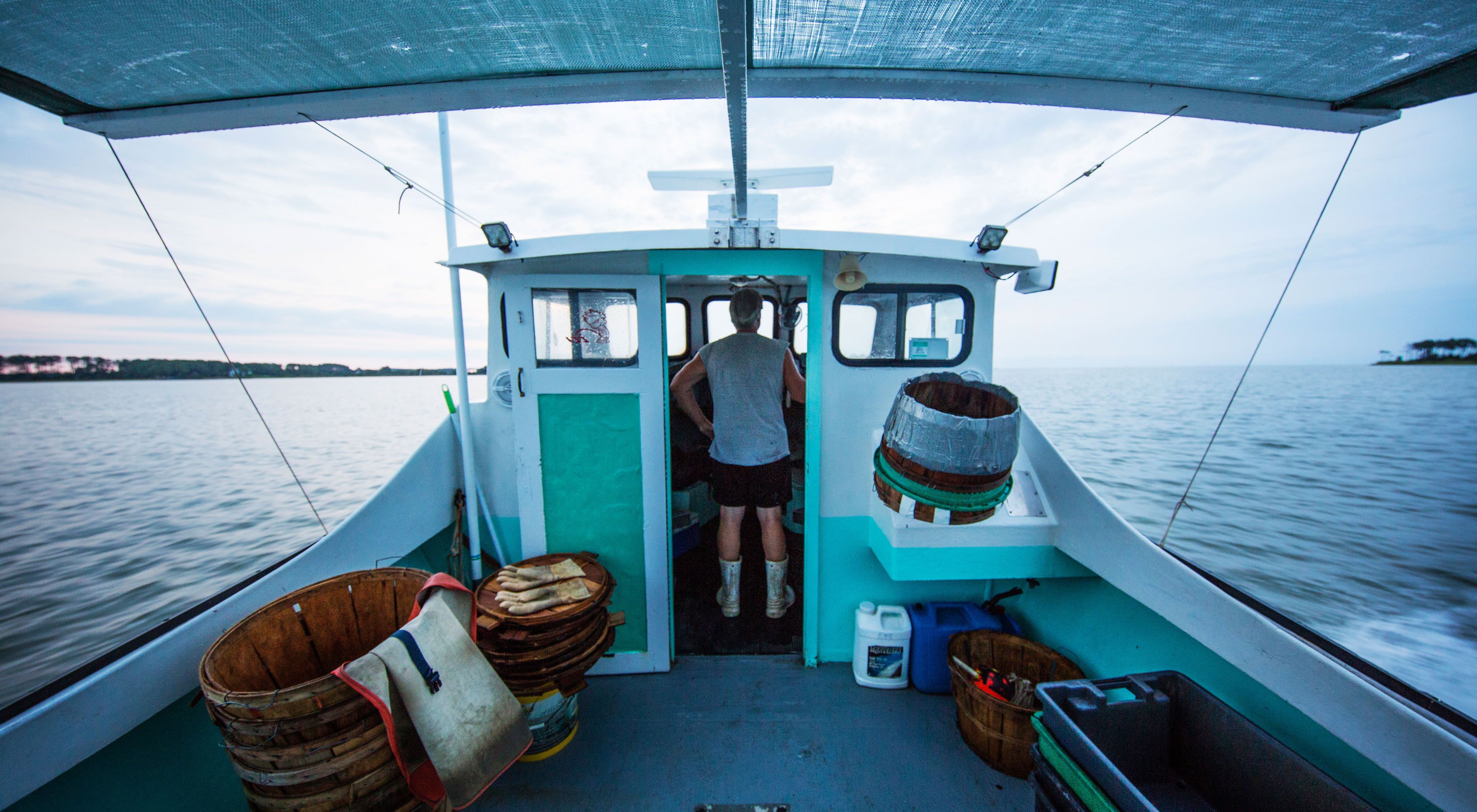
For 35 years, Monty Hawkins' livelihood has depended on knowing what lies beneath the waves.
Hawkins captains the Morning Star, a “party boat” that takes out customers, 25 at a time, to fish for species like flounder and sea bass off the Maryland coast. Around 15 years ago, Hawkins, driven by curiosity about his finned quarry, began lowering video cameras to the seabed. Though scientific consensus held that the ocean floor here was sandy and featureless, Hawkins’ footage revealed a vibrant world of orange sea whips, white star corals and complex rocky reefs. “This is essential fish habitat, just as plain as day,” Hawkins says now.
The captain’s surprising discovery speaks to a larger truth: When it comes to managing our oceans, we’ve been sailing blind. In the mid-Atlantic region, where the ocean and its coasts support some 34 million people and a $2 trillion economy, our ignorance extends beyond corals—we scarcely understand how we use the ocean ourselves. Where are the best commercial fishing grounds? Where do folks prefer to boat and scuba dive? Where should we place offshore wind farms?
“There’s an unbelievable paucity of data,” says Hawkins. “It’s incredible how little we know.”
The more we demand from our oceans, the more imperative it becomes that we fill the gaps in our knowledge. That’s why, in 2009, five coastal states—New York, New Jersey, Delaware, Maryland and Virginia—formed the Mid-Atlantic Regional Council on the Ocean (MARCO), a planning group that supports decision-making about what goes where. Central to that effort is MARCO’s Data Portal, an online compendium of information about everything from ship traffic to whale sightings to artificial reef locations. “We’re trying to take all that noise and distill it into actionable intelligence,” says Jay Odell, mid-Atlantic marine program director at The Nature Conservancy, which helped develop the portal.
The Mid-Atlantic is an ecological and cultural crossroads. As Odell puts it, “It includes places where people say ‘y’all,’ and places where they would never think of saying that.” What unites the sprawling region is seafood. Fishermen have been hauling their livelihoods from these waters since the 1600s; today, the coast is home to around 75 fish species supporting everything from squid trawlers to scallop dredgers. Together, the region’s commercial fisheries support some 100,000 jobs, including gear suppliers, fish processors and truck drivers.

“When most people order a fried oyster or a crabcake, they don’t have a clue what it takes to get it from the water to the table,” says J.C. Hudgins, a Chesapeake Bay waterman. “This is where your seafood comes from.”
To better secure that bounty, the Conservancy and researchers at Rutgers recently developed a new set of maps, called Communities at Sea, to add to the data portal. They examined the human side of ocean use: Where do gillnetters from Ocean City, Maryland, spend the most time offshore? How about scallop boats from Cape May, New Jersey? Or draggers from Montauk, New York? Instead of falling back on traditional fisheries metrics like pounds or dollars, the maps offer a novel way of seeing the ocean: as habitat not only for fish but also for fishermen.
Though Odell and his colleagues compiled the data from government reports, ground-truthing the maps took time—after all, no captain worth his salt wants to reveal his secret sea bass spot. But after a series of community meetings, fishermen and scientists earned each other’s trust. “As conflicts increase, more fishermen are realizing they need to be part of the marine planning conversation,” says Odell. “And the knowledge they bring is essential for revealing solutions.”
Meanwhile, Hudgins is one fisherman who needs no convincing about the value of good data. He has helped develop a system for crab fishermen to report catches with their smartphones. By furnishing up-to-the-minute data, says Hudgins, fishermen can help inform better management decisions—and keep our oceans’ pantries sustainably stocked.


