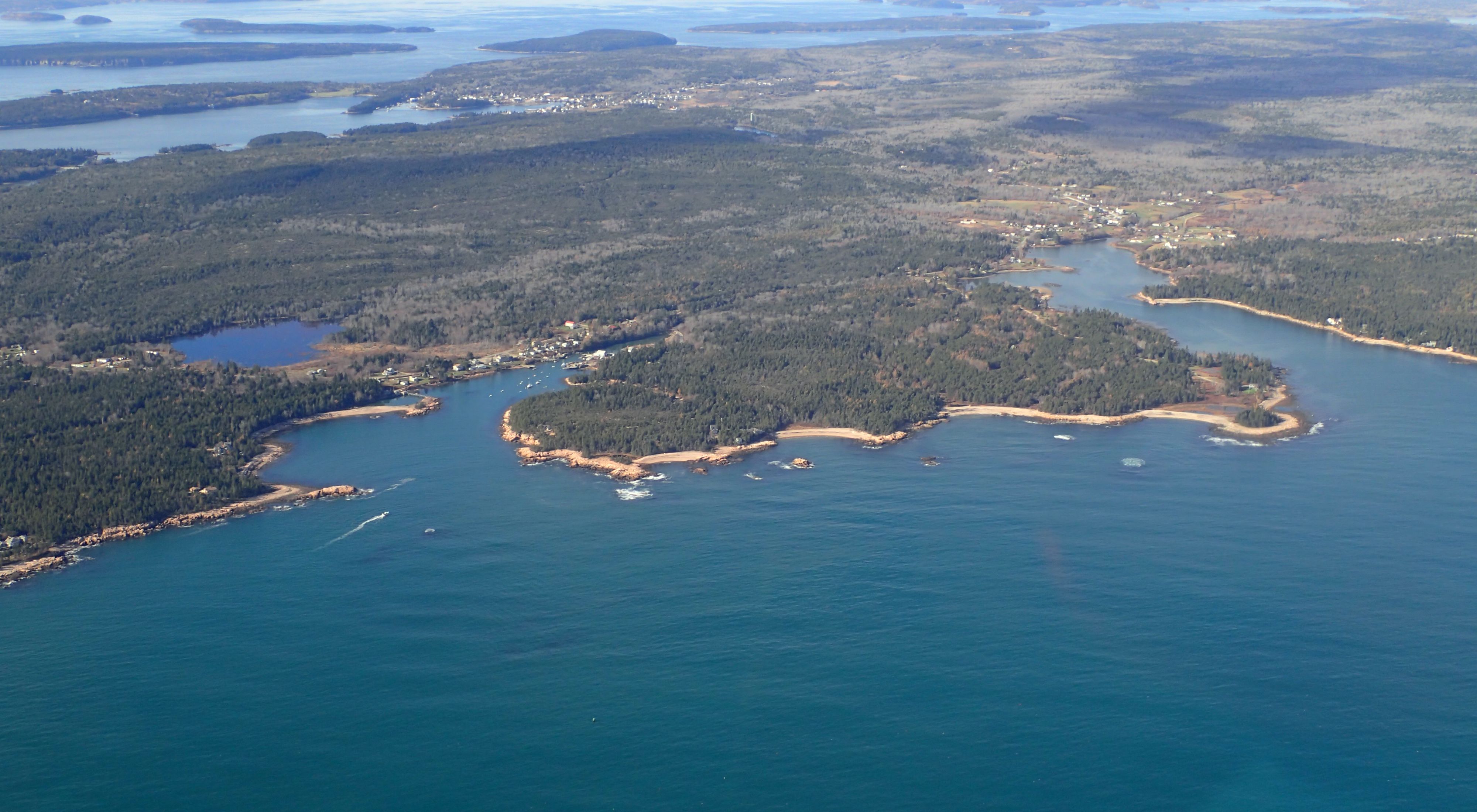
Helping Maine’s Communities Prepare for Sea-Level Rise
A new tool tells first-responders and planners which streets will flood and where vulnerable citizens might lose access to help.
The fact that Maine’s winters are warming twice as fast as its summers may sound like welcome news to many Mainers. But, the reality is that these increasing temperatures will likely have adverse impacts on our way of life.
What Will the Impacts of Climate Change be in Maine?
While average temperatures continue to rise—by more than 1.5 degrees in the United States as a whole and by more than 3 degrees in Maine over the last 100 years—sea level rise and precipitation will surge along the coast, according the 2018 National Climate Assessment. The ocean is now rising at an ever-faster rate, and the possibility that we could see a 6-foot increase is now more likely than ever. Maine has already lost $70 million in home values due to coastal flooding.
How Can we Plan for Flooding and Sea-Level Rise?
The Nature Conservancy in Maine, along with Bowdoin College, the Maine Geological Survey, and community-planning consultant, Blue Sky Planning Solutions, recently developed the Coastal Risk Explorer. This tool uses projected sea level rise scenarios to understand which locations would be cut off from emergency medical services due to road flooding. It also incorporates a unique, Maine-specific analysis that indicates how vulnerable the members of a community are to the challenges created by sea level rise based on several demographic factors, including socioeconomic status, household ages and disabilities, housing and transportation access.
Emergency service providers know of the quickest routes to reach homes in an emergency. However, it can become impossible for them to access someone in need when roads are flooded. In many emergency situations, taking extra time to take an alternate route can be the difference between life and death. The Coastal Risk Explorer allows communities to explore the social vulnerability of their towns and understand the demographic factors that would make it difficult for certain populations to evacuate or relocate when faced with flooding events and other emergencies. Planners can use this information to strategically upgrade culverts and locate emergency medical services based on where their most vulnerable populations are located, reducing the likelihood that they will be inaccessible during a flooding event.
The Coastal Risk Explorer is part of a collection of decision-support tools on TNC’s Coastal Resilience Platform.
Sharing the Coastal Resilience Tool with Communities
Project lead Jeremy Bell, our river and coastal restoration director, collaborated with Nicole LaBarge, TNC cartography and data visualization specialist, to design a formal visual presentation for town leaders, planners and any curious minds interested in this important work.
"We hope that by sharing this tool, we can inspire a system of planning than can detect the potential effects of sea level rise and encourage the use of nature-based solutions," says Bell.
Recently, Bell partnered with Gayle Bowness from the Gulf of Maine Research Institute to present the tool to emergency managers, town managers, and first responders at the monthly meeting of the Cumberland County Emergency Management Agency. The event is held at a below-ground facility originally built as an emergency management command center. After a well-received presentation, an emergency manager commended Jeremy for a tool he felt could save lives and said that he intends to spread the word.
More Stories

The Comeback: Alewives Return To Maine Rivers
Many of Maine’s rivers are experiencing a remarkable comeback. One of the world’s great migrations is returning to our waters. We’re talking about alewives!

St. John Forest Celebrates 20 Years of Conservation
How a conservation effort proved what a dedicated group of caring, resourceful and generous people can accomplish—and why it still matters.
Oysters At The Basin
Building an oyster reef in Maine's Basin Preserve.