Nanticoke River Watershed
One of the Chesapeake Bay’s most productive tributaries
When Captain John Smith explored the rivers of the Chesapeake Bay in 1608, he encountered the gentle, meandering Nanticoke River in the heart of the Delmarva Peninsula. The river's name acknowledges the Indigenous communities who lived nearby.
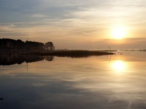
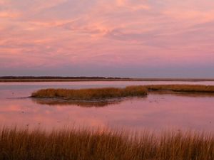
The 725,000-acre Nanticoke watershed supports a wide variety of plant and animal species, including more rare plants than any other landscape on the Delmarva Peninsula. An estimated 20 percent of the watershed has been protected though the work of TNC and our partners.


Nanticoke Rural Legacy Area
Established in partnership with Conservation Fund in the early 2000’s, the Rural Legacy designation created a greenbelt protecting forests, wetlands and farms around the historic waterfront town of Vienna. Local government, farmers and landowners have been strong partners in these efforts.
Funding from the state of Maryland has allowed TNC to protect land through conservation easements to encourage agriculture, support forests for habitat and human use and protect natural resources by limiting the amount of development on priority properties.
Legally binding conservation easements offer a direct tool for supporting coastal resiliency in the Nanticoke watershed. By restricting development along shoreline that is vulnerable to sea level rise, man-made infrastructure is kept out of high-risk areas.
This eliminates the need to protect homes and other structures from impacts of future storms and flooding. An undeveloped shoreline allows both natural marshes and agricultural land to adapt and migrate in response to sea level rise. It also provides a buffer for human communities from tidal and wind driven water surges.
As a result of concerted efforts over time by TNC, the states of Maryland and Delaware and other public and private partners, a 50-mile corridor now exists along the western shoreline of the Nanticoke River, permanently protecting it from intensive development through conservation easements.
Conservation and Partnership at Work
Since 2009, TNC has doubled our funding stream for the Rural Legacy Area through a partnership with the US Navy. Patuxent Naval Air Station (NAS Pax River) in St. Mary’s County uses the air space over the Nanticoke River corridor to test all of the nation’s military aircraft, including jets, helicopters and drones.
Known as the Atlantic Test Range, the Navy is supporting TNC land protection projects that fall under this restricted airspace in a mutual goal of keeping the landscape undeveloped and open. The Navy can also better avoid safety and noise issues from aircraft testing activities.
In April 2015, NAS Pax River was declared one of three national Sentinel Landscapes by the U.S. Departments of Agriculture, Interior and Defense. The collaborative Sentinel Landscapes Partnership supports efforts to promote working lands, protect wildlife habitat and ensure military readiness at military bases across the country. The Navy provides 50/50 matches to the Rural Legacy funding from their Readiness and Environmental Protection Integration (REPI) program.
Future efforts in the Nanticoke watershed will continue to build on past successes by identifying and prioritizing lands to be added to the Rural Legacy area for protection.


Hopeful Signs: Atlantic Sturgeon
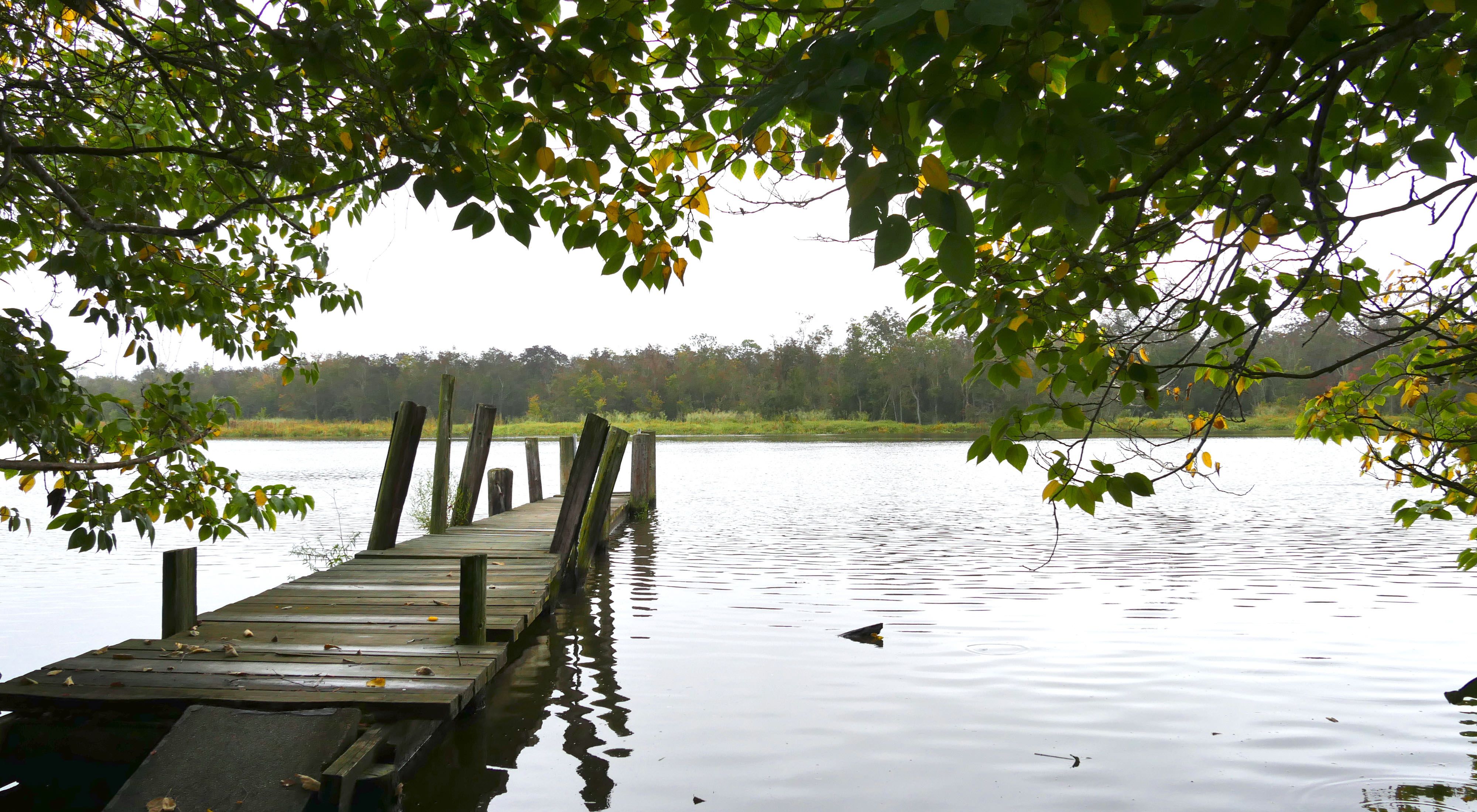
The Nanticoke River, which flows from southern Delaware southwest through Maryland’s Eastern Shore, is one of the Chesapeake Bay’s most productive tributaries. The river and its hundreds of miles of freshwater streams harbor commercially and ecologically important species such as rockfish, white and yellow perch, and herring.
Hopeful signs also point to the presence of another iconic species in the Nanticoke—Atlantic sturgeon.
Overfishing and habitat loss devastated sturgeon populations throughout their historic range. They were thought to have all but disappeared from Maryland waters, but biologists in Maryland and Delaware have caught and tagged more than two dozen adult sturgeon in the Nanticoke River and its tributaries since 2014.
Sturgeon are particularly sensitive to sediment pollution that can come from development and a lack of forest buffers around streams. The Nanticoke and its tributaries in Dorchester, Caroline and Wicomico counties run through marshes that have largely been preserved from development.
Through the Nanticoke Rural Legacy Area, we work with the Maryland Department of Natural Resources, the U.S. Fish and Wildlife Service, the Nanticoke Watershed Alliance and other local partners to preserve the watershed’s biodiversity, water quality and natural systems.


Diverse Habitats
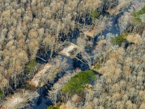
Atlantic white cedar swamps, once heavily lumbered for boat construction, are protected in the Nanticoke watershed, along with the delicate pitcher plants and other rare species these swamps shelter. Delmarva bays, which are non-tidal wetlands unique to the Delmarva Peninsula, have dotted this landscape for more than 16,000 years and are home to the rare carpenter frog and Eastern tiger salamander.
Ancient sand dunes support globally rare plants such as wild lupine. Many of these sandy ridges—formed 13,000 to 30,000 years ago—have already been lost to development, or sand and gravel operations. Native coastal plain forests, which help filter water draining into the river and then to the bay, are home to the endangered Delmarva fox squirrel, as well as migrating songbirds such as the American redstart and the prothonotary warbler.
We Can’t Save Nature Without You
Sign up to receive monthly conservation news and updates from Maryland/DC. Get a preview of Maryland/DC's Nature News email.

Recent Stories
318 Acres Conserved in Dorchester County
The diverse landscape will provide space for critical marsh habitats to migrate to in the future.
Strengthening Maryland's Coasts
Helping Maryland’s critical coastal habitats and historic communities adapt to the effects of climate change.
Freeing a Trapped River
Celebrating 10 years of restoration, partnership and the largest ecological restoration in Maryland’s history.